1.7 km away
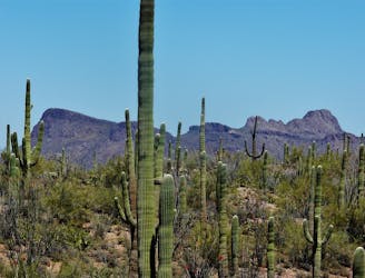
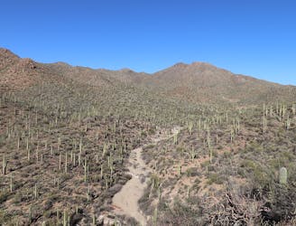
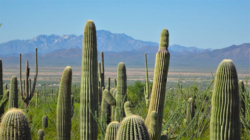
Valley View Overlook
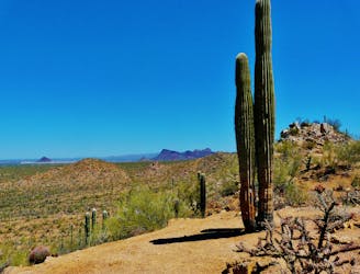
A quick hike through colorful cactus forest, to a panoramic overlook on a hill.
Moderate Hiking
- Distance
- 1.3 km
- Ascent
- 19 m
- Descent
- 19 m
Not much of a hike, but a quick walk to the site of well-preserved Native American rock art.
Hiking Easy

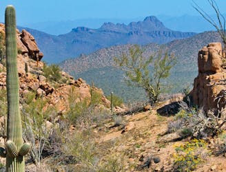
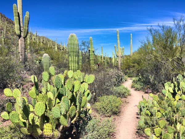
If you enter Saguaro National Park and drive the Bajada Scenic Loop, you should definitely stop and see the Signal Hill Petroglyphs. It’s a short stroll to an interesting piece of human history, plus a nice overlook on a hilltop.
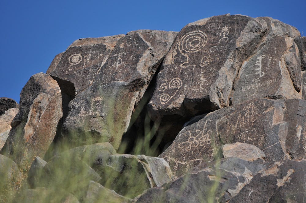
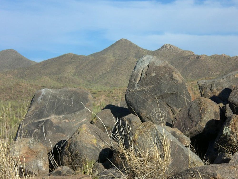
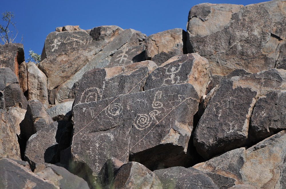
Petroglyphs are symbols that are etched into rock. The depictions at Signal Hill are quite varied, from geometric designs to people and animals, to abstract shapes. Their exact meanings are unknown, but their prominence on boulders atop a hill suggests they were important signals to people at one time. They were carved by Hohokam Indians at least 800 years ago. This tribe thrived in the region from approximately 300-1500 AD.
The hike begins from the Signal Hill Picnic Area, which is about half a mile up a side road from the scenic loop. From the parking area, you’ll notice a nearby hill that’s crowned with dark-colored boulders. On those boulders are the petroglyphs, and a well-signed trail leads to them. It goes down at first to cross a sandy wash, then goes up the hill on some rock steps and uneven terrain, but for a short distance, to reach the top. The rock art is easy to spot, but you’ll want to spend some time to find all the intricate designs and to ponder their meanings. It is important to never touch the rock art, because oils from the skin can damage them over time. The symbols should be preserved as long as possible, as an invaluable legacy of American indigenous culture.
Sources: https://www.nps.gov/sagu/planyourvisit/upload/Trails%20in%20the%20Tucson%20Mountain%20District.pdf https://en.wikipedia.org/wiki/Hohokam
Easy
Walking along a well-kept trail that’s mostly flat. No obstacles are present.

The trail contains some obstacles such as outcroppings and rock which could cause injury.

Close to help in case of emergency.
1.7 km away
A quick hike through colorful cactus forest, to a panoramic overlook on a hill.
Moderate Hiking
1.7 km away
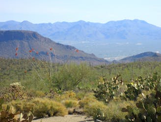
Mellow hike among desert flora and low hills within the Bajada Scenic Loop.
Easy Hiking
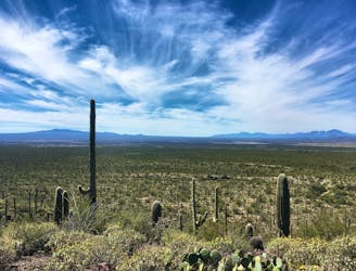
2.1 km away
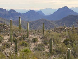
The most scenic route to the top of Wasson Peak, and perhaps in all of Saguaro West.
Difficult Hiking
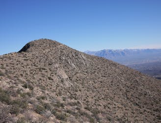
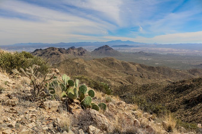
3.9 km away
A mellow walk through open desert, then a steep but short climb to a panoramic ridgeline.
Moderate Hiking
6.1 km away
A full-value loop to the highest point in the Tucson Mountains District of Saguaro National Park.
Difficult Hiking
6.1 km away
Mountainside cactus forest and an old copper mine, plus a backcountry picnic area with a view.
Moderate Hiking
8.2 km away
Climb to the highest peak in the Tucson Mountain.
Difficult Hiking
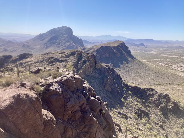
9.5 km away
Hike along a gorgeous ridge with stupendous views of the Tucson Mountains and Saguaro National Park.
Difficult Hiking
10 routes · Hiking
5 routes · Hiking
9 routes · Hiking
6 routes · Hiking
7 routes · Hiking

32 routes · Mountain Biking · Hiking · Road Biking

63 routes · Alpine Climbing · Hiking

10 routes · Alpine Climbing · Canyoning · Hiking