239 m away
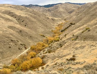
Eastside to Sweet Connie Downhill
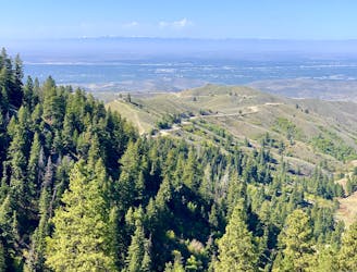
Awesome shuttle ride from the pines of Bogus Basin into the prairie of the foothills.
Difficult Mountain Biking
- Distance
- 21 km
- Ascent
- 365 m
- Descent
- 1.1 km
20 miles of slog and slay from the top to bottom of the Boise Foothills. Bonus points for finishing it out by biking to beers at Ann Morrison Park
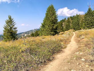
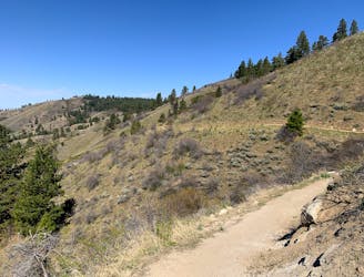
Mountain Biking Difficult

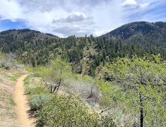
This is a popular mountain biking route which is generally considered to be difficult. It's remote, it features low exposure and is typically done between June and October. From a low point of 800 m to the maximum altitude of 1.9 km, the route covers 44 km, 573 vertical metres of ascent and 1642 vertical metres of descent.
Go from East Side at the Bogus Basin lot down to the bottom of Polecat Gulch.
Difficult
Mostly stable trail tread with some variability featuring larger and more unavoidable obstacles that may include, but not be limited to: bigger stones, roots, steps, and narrow curves. Compared to lower intermediate, technical difficulty is more advanced and grades of slopes are steeper. Ideal for upper intermediate riders.

The path is on completely flat land and potential injury is limited to falling over.

Away from help but easily accessed.
239 m away
Awesome shuttle ride from the pines of Bogus Basin into the prairie of the foothills.
Difficult Mountain Biking
363 m away
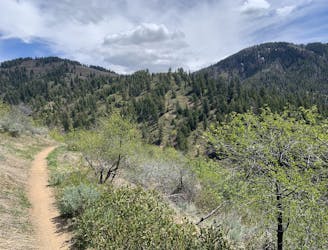
Up from Bogus Basin and along the ridge, then a huge downhill on some of Boise's best singletrack.
Difficult Mountain Biking
364 m away
A scenic escape to high elevation when the foothills heat up in summer.
Moderate Mountain Biking
3.4 km away
A scenic romp through mountainside meadows and montane forest, with bonus views from the iconic Stack Rock formation.
Moderate Mountain Biking
9.2 km away

A big downhill ride with a shuttle, and a step up in difficulty over most trails in the area.
Severe Mountain Biking
9.8 km away
A grueling combo of two favorite area trails.
Severe Mountain Biking
9.8 km away
A big climb and glorious downhill in the upper Foothills, with water crossings and miles of lush forest.
Severe Mountain Biking
12 routes · Mountain Biking
6 routes · Mountain Biking