1.6 km away
Stowe Pinnacle Trail
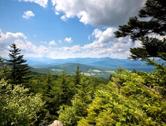
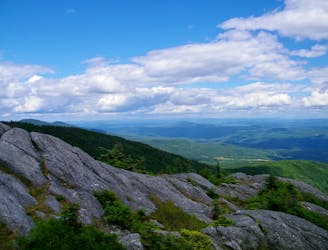
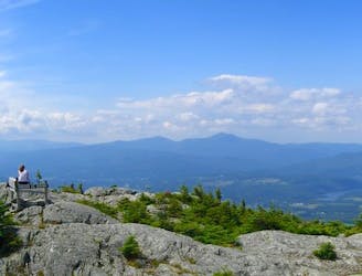
A must-do hike in Stowe, to a granite dome with 360-degree views of the valley and surrounding mountains.
Difficult Hiking
- Distance
- 4.9 km
- Ascent
- 470 m
- Descent
- 470 m
Shorter route to the top of Stowe Pinnacle.
Hiking Difficult

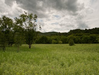
Pinnacle Meadows is the upper trailhead for Stowe Pinnacle. The hike from here is shorter, but a bit less exciting than the hike from the lower trailhead. Whereas that one is a narrow footpath the whole way, this one starts on a dirt road (closed to cars).
It doesn't stay that way for too long, however, and it doesn't skip the exciting final climb to the top of the Pinnacle. After a gradual ascent through the forest on the dirt road, you'll come to a grassy hillside field. From there a narrow trail continues into the forest and crosses boardwalks over muddy sections. It soon becomes much becomes steeper on the upper slopes of the mountain.
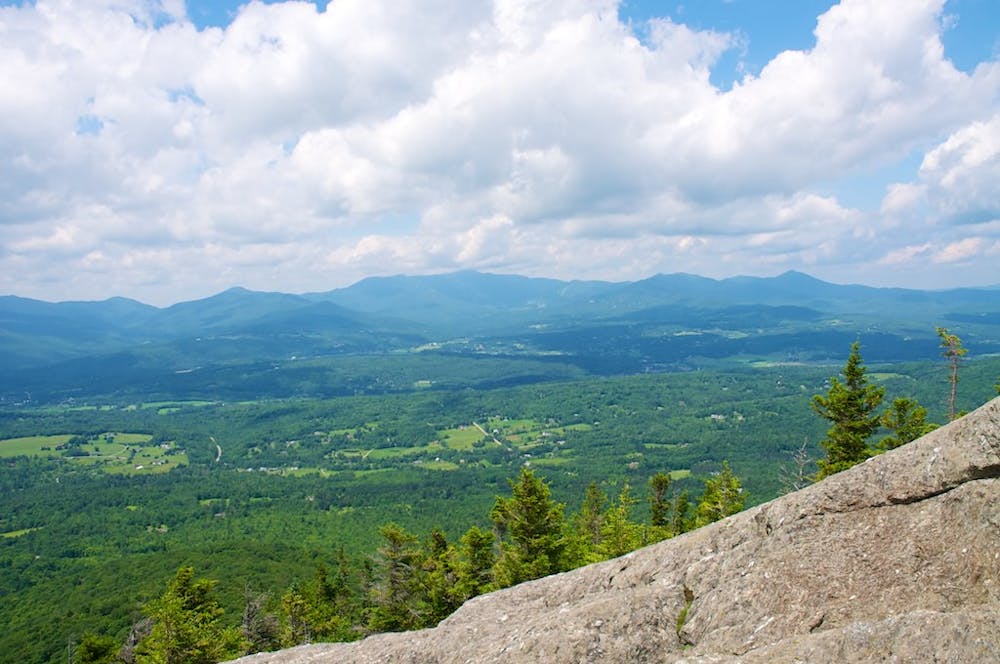
Soon you'll come to the junction with Stowe Pinnacle Trail and join it. This steep, winding path has some stairs and rock scrambling, but nothing too difficult. You'll find incredible views once you reach the bald granite summit, overlooking Stowe and the Green Mountains all around.
Note: Even though this trail starts out easy, the final stretch to reach the Pinnacle is strenuous, and requires some comfort with rock scrambling. It may not be suitable for small children, and the risks become greater in wet or cold weather.
Sources: https://gostowe.com/activity/hiking/ https://fpr.vermont.gov/putnam-cc-state-forest https://www.summitpost.org/stowe-pinnacle-trail/162722
Difficult
Hiking trails where obstacles such as rocks or roots are prevalent. Some obstacles can require care to step over or around. At times, the trail can be worn and eroded. The grade of the trail is generally quite steep, and can often lead to strenuous hiking.

The trail contains some obstacles such as outcroppings and rock which could cause injury.
Away from help but easily accessed.
1.6 km away
A must-do hike in Stowe, to a granite dome with 360-degree views of the valley and surrounding mountains.
Difficult Hiking
4.4 km away

Walk from Stowe's Main Street to a wooded park overlooking the village.
Moderate Hiking
4.5 km away
Straight up the slope of Mount Hunger to its panoramic summit.
Difficult Hiking
4.5 km away
A committing traverse of the surprisingly rugged and varied peaks east of Stowe.
Severe Hiking
4.5 km away

Unpaved recreation path through fields and along a river near Stowe Village.
Easy Hiking
5.5 km away
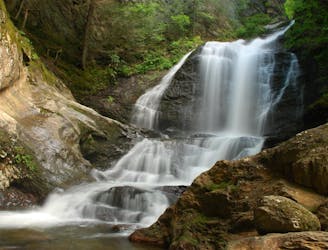
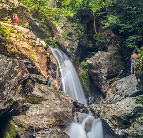
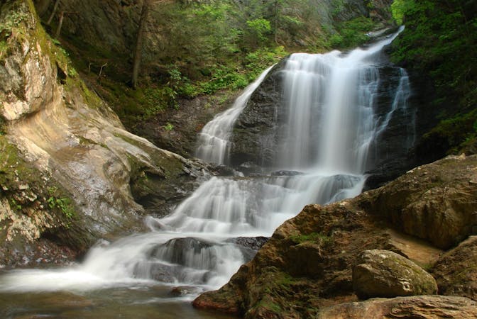
Short hike to a multi-tiered waterfall tucked in a granite gorge.
Easy Hiking
6.2 km away

Rewarding hike to a lesser-known summit of the mountains near Stowe.
Difficult Hiking
7.3 km away

The trail to the top of Mount Hunger from the east side.
Severe Hiking
9.1 km away
Short, family-friendly nature trail with a view of Vermont's tallest mountain and a chance at spotting wildlife.
Easy Hiking
8 routes · Hiking
10 routes · Hiking