2.9 km away
Mill Trail

Walk to a historic cabin in the woods beside a river.
Easy Hiking
- Distance
- 663 m
- Ascent
- 42 m
- Descent
- 42 m
Short, family-friendly nature trail with a view of Vermont's tallest mountain and a chance at spotting wildlife.
Hiking Easy

In the Wiessner Woods you’ll find a peaceful retreat in nature. It’s a protected forest with meadows, streams, and abundant wildlife. You may see birds, amphibians, deer, and maybe even a fox. Of the several trails in the Wiessner Woods network, Meadow Trail is perhaps the most popular. It offers a nice mix of close-up nature and distant views in a short loop that’s great for families with small children. Dogs are allowed if kept on a leash.
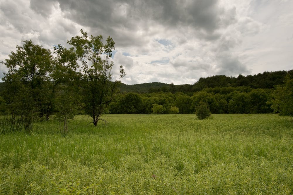
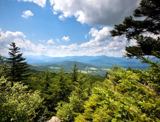
Begin by crossing a green lawn near the trailhead, then continue into the woods. To complete this loop you’ll follow Meadow and Main Street trails, but you can extend your hike using other paths in the preserve as well. Along the way you’ll see groves of tall pines, wetlands where frogs and salamanders lay their eggs, and stone walls that date to the 1800s. At one point you’ll have a view over a hillside meadow toward Mount Mansfield–the tallest mountain in Vermont.
The Wiessner Woods are owned by a nonprofit and maintained by volunteers. Access is free of charge, but you might consider donating a small amount to Stowe Land Trust if you enjoy your walk in the woods.
Sources: https://www.stowelandtrust.org/conserved/properties/wiessner-woods/ https://stowecountryhomes.com/attractions/wiessner-woods/
Easy
Walking along a well-kept trail that’s mostly flat. No obstacles are present.

The path is on completely flat land and potential injury is limited to falling over.
Close to help in case of emergency.
2.9 km away
Walk to a historic cabin in the woods beside a river.
Easy Hiking
4.1 km away
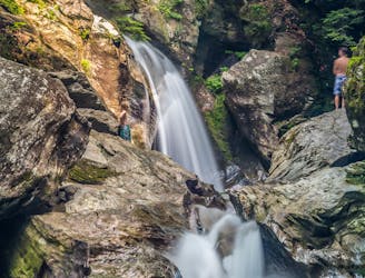
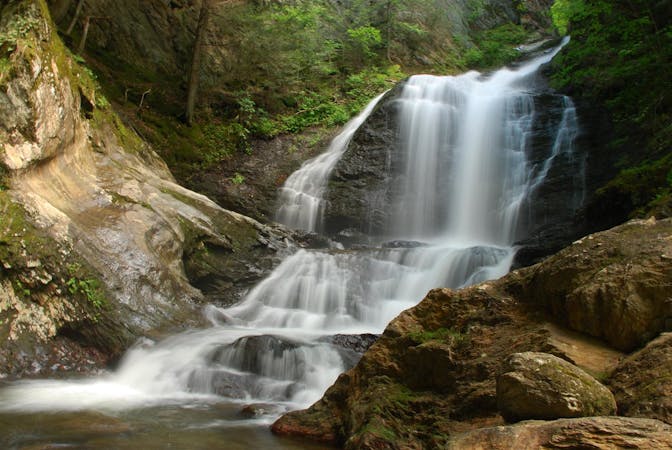
A 40-foot waterfall and summer swimming holes in a mountain stream.
Easy Hiking
4.6 km away
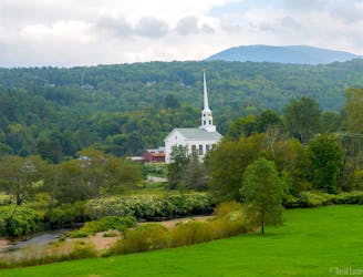
Unpaved recreation path through fields and along a river near Stowe Village.
Easy Hiking
4.8 km away

Walk from Stowe's Main Street to a wooded park overlooking the village.
Moderate Hiking
6.3 km away

Forest hike among the ski runs that finishes near a mountainside café, and provides access to higher trails on Mount Mansfield.
Moderate Hiking
6.8 km away
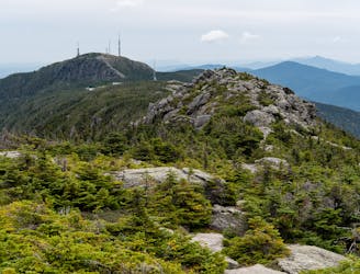
Hike Mount Mansfield bottom to top, starting from just outside Stowe Mountain Ski Resort.
Severe Hiking
7.9 km away
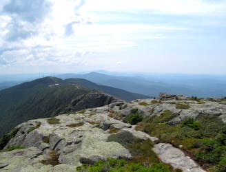
The easiest route to the summit of Mount Mansfield.
Moderate Hiking
8 km away
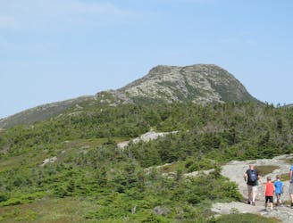
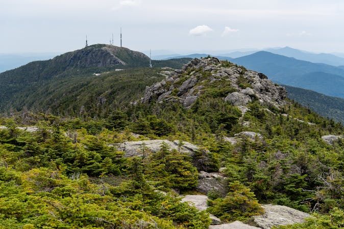
A must-do hike in Stowe, to a granite dome with 360-degree views of the valley and surrounding mountains.
Difficult Hiking
8.1 km away
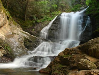
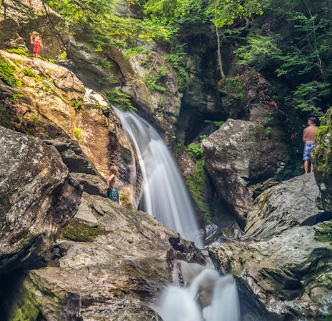
Short hike to a multi-tiered waterfall tucked in a granite gorge.
Easy Hiking
8.3 km away
Short but strenuous route from the top of the gondola to the summit of Mount Mansfield.
Extreme Hiking
8 routes · Hiking
10 routes · Hiking
8 routes · Hiking