609 m away
Long Trail South to Mansfield Summit
Hike Mount Mansfield bottom to top, starting from just outside Stowe Mountain Ski Resort.
Severe Hiking
- Distance
- 6.7 km
- Ascent
- 835 m
- Descent
- 835 m
Forest hike among the ski runs that finishes near a mountainside café, and provides access to higher trails on Mount Mansfield.
Hiking Moderate

Haselton Trail is ideal for a casual summer or fall hike on Mount Mansfield. It begins near the base of the gondola at Stowe Mountain Resort. If you'd rather not ride the lift and exercise your legs instead, find this trailhead behind the Midway Lodge.
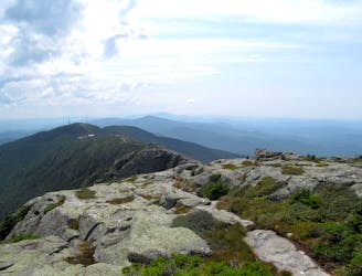
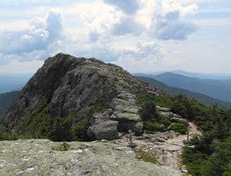
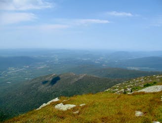
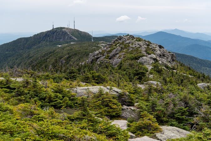
The trail rises steadily along a wooded ridgeline. The vegetation is at first quite dense, but eventually opens into sunny woodland as you cross glades that have been thinned for skiing. The gradient steepens as you get higher, and finally emerges onto a grassy ski run where it's quite steep, but easy going, and the views are tremendous. At the top of this ski run the trail joins the Auto Toll Road. From there you have a few options besides turning around and hiking back down.
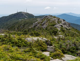
You can pause your hike and enjoy a meal and drink at the Octagon Café & Gallery, just a few steps away. If you want to continue hiking, walk uphill along the road and you'll eventually reach the visitor center near the top of the mountain. It's near the peak called The Nose, and from there the Long Trail continues along the ridge crest to reach the true summit, The Chin. If you go there, consider using the adventurous Cliff Trail to make a loop.
Sources: https://www.stowe.com/explore-the-resort/activities-and-events/hiking.aspx http://stowelocal.com/haselton-mount-mansfield/
Moderate
Hiking along trails with some uneven terrain and small hills. Small rocks and roots may be present.

The trail contains some obstacles such as outcroppings and rock which could cause injury.

Close to help in case of emergency.
609 m away
Hike Mount Mansfield bottom to top, starting from just outside Stowe Mountain Ski Resort.
Severe Hiking
2 km away
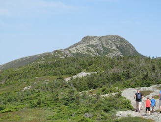
Short but strenuous route from the top of the gondola to the summit of Mount Mansfield.
Extreme Hiking
2 km away

A less exposed and less steep alternative to the Long Trail over the summit of Mount Mansfield.
Severe Hiking
2.1 km away
The easiest route to the summit of Mount Mansfield.
Moderate Hiking
2.2 km away
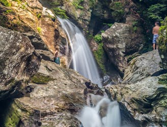
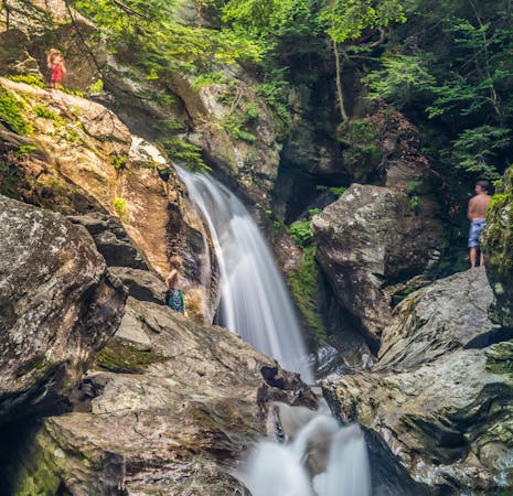
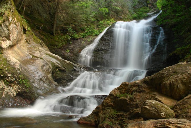
A 40-foot waterfall and summer swimming holes in a mountain stream.
Easy Hiking
2.8 km away

Popular hike to a large pond near the top of a mountain.
Moderate Hiking
3.5 km away

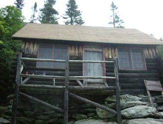
Walk to a historic cabin in the woods beside a river.
Easy Hiking
4.2 km away
Widely considered the best trail to the 4,393-foot summit of Mount Mansfield.
Difficult Hiking
4.2 km away
Reach the summit of Mount Mansfield via three of its most thrilling trails.
Extreme Hiking
5.4 km away
Climb to one of Mount Mansfield’s lesser peaks, with an overnight shelter and options for longer loop routes.
Severe Hiking
8 routes · Hiking
10 routes · Hiking
8 routes · Hiking

10 routes · Hiking