1.3 km away
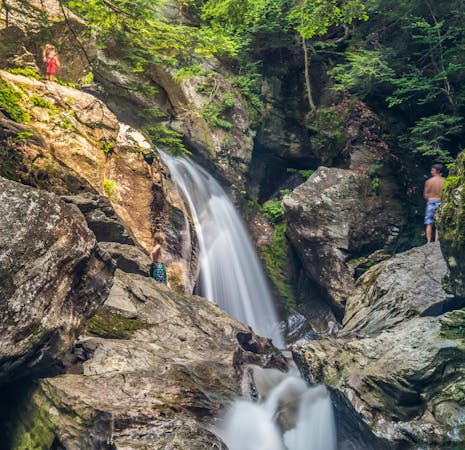
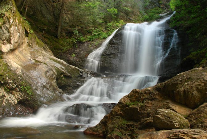
Bingham Falls
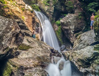
A 40-foot waterfall and summer swimming holes in a mountain stream.
Easy Hiking
- Distance
- 802 m
- Ascent
- 56 m
- Descent
- 56 m
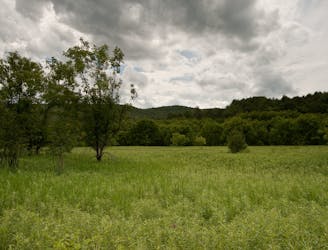
Walk to a historic cabin in the woods beside a river.
Hiking Easy

Mill Trail gives a nice mix of nature and history in a very short and easy hike, and there are even swimming holes to enjoy on a hot day. You’ll pass through a peaceful creekside hemlock forest and get a glimpse of what life in Vermont’s mountains was like 100 years ago.
A wide and mostly flat path through the woods leads to an old wooden cabin and a cluster of other structures. You can find pits that were once cellars for storage and the site of a water mill by the creek. The cabin was built as accommodations for Stowe’s early ski tourists in the 1930s, but the cellars and the mill are even older relics, dating from the 1800s.
Parking is limited at the trailhead on Notchbrook Road. If it’s full, you can get to Mill Trail from Bingham Falls instead, but the hike is farther and you’ll have to rock-hop or wade across the creek.
Sources: https://www.stowelandtrust.org/conserved/properties/milltrail/
Easy
Walking along a well-kept trail that’s mostly flat. No obstacles are present.

The path is on completely flat land and potential injury is limited to falling over.
Close to help in case of emergency.
1.3 km away
A 40-foot waterfall and summer swimming holes in a mountain stream.
Easy Hiking
2.9 km away
Short, family-friendly nature trail with a view of Vermont's tallest mountain and a chance at spotting wildlife.
Easy Hiking
3.5 km away

Forest hike among the ski runs that finishes near a mountainside café, and provides access to higher trails on Mount Mansfield.
Moderate Hiking
4 km away
Hike Mount Mansfield bottom to top, starting from just outside Stowe Mountain Ski Resort.
Severe Hiking
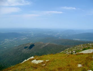
4.9 km away
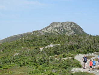
The easiest route to the summit of Mount Mansfield.
Moderate Hiking
5.3 km away
Short but strenuous route from the top of the gondola to the summit of Mount Mansfield.
Extreme Hiking
5.5 km away

A less exposed and less steep alternative to the Long Trail over the summit of Mount Mansfield.
Severe Hiking
5.9 km away
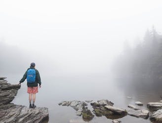
Popular hike to a large pond near the top of a mountain.
Moderate Hiking
7 km away
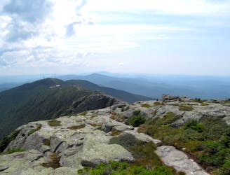
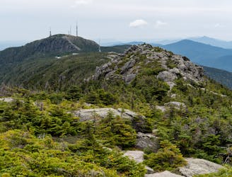
Widely considered the best trail to the 4,393-foot summit of Mount Mansfield.
Difficult Hiking
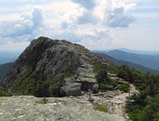
7 km away
Reach the summit of Mount Mansfield via three of its most thrilling trails.
Extreme Hiking
8 routes · Hiking
10 routes · Hiking
8 routes · Hiking

10 routes · Hiking