584 m away
Stowe Quiet Path
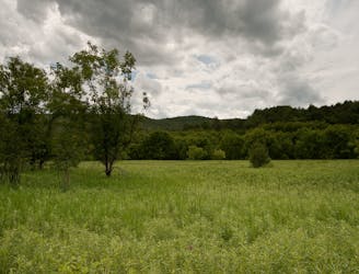
Unpaved recreation path through fields and along a river near Stowe Village.
Easy Hiking
- Distance
- 2.6 km
- Ascent
- 18 m
- Descent
- 19 m
Walk from Stowe's Main Street to a wooded park overlooking the village.
Hiking Moderate

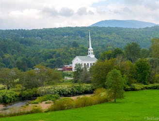
Sunset Rock is a forest park near the town center of Stowe. You can park at the shops and restaurants on Main Street, then walk into the woods and enjoy a leisurely stroll to a scenic view.
The trail begins at the end of Sunset Ave, then angles gently uphill through a lush forest, with intermittent views of the town through the canopy. The path is well marked and well maintained. Once you reach the top of the hill, you’ll find a mowed field with a picnic table and logs to sit on––an idyllic spot for a picnic on a sunny day.
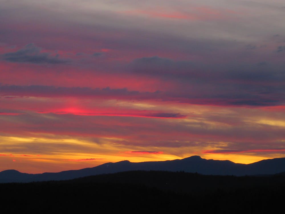
Gazing over surrounding treetops, you’ll see a horizon of mountains that includes Mount Mansfield––the highest mountain in Vermont. Look closely and you’ll notice how it resembles a human face. Can you make out the Forehead, the Nose, the Chin, and the Adam’s Apple? These are peaks on Mount Mansfield that are named for facial features.
After taking in the view, return the way you came to go back into town. Peruse the shops and galleries if you still have energy, or sit back and enjoy a post-hike beverage at one of the restaurant bars.
Note that Sunset Rock has an alternate entrance if you don’t want to walk from Main Street. You can instead drive to Taber Hill Road and look for the sign for Sunset Rock. Turn onto a side road, and you’ll soon come to a small parking lot. This makes a shorter hike than starting from the village.
Sources: https://www.stowerec.org/parks-facilities/parks/sunset-rock/ https://www.stowelandtrust.org/conserved/properties/sunsetrock/
Moderate
Hiking along trails with some uneven terrain and small hills. Small rocks and roots may be present.

The path is on completely flat land and potential injury is limited to falling over.
Close to help in case of emergency.
584 m away
Unpaved recreation path through fields and along a river near Stowe Village.
Easy Hiking
3.3 km away
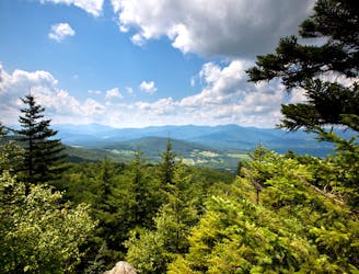
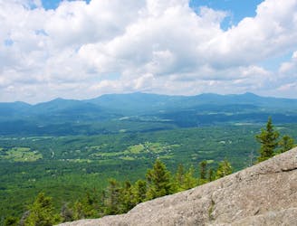
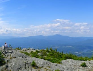
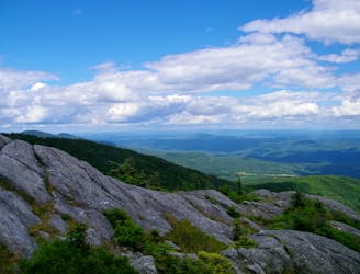
A must-do hike in Stowe, to a granite dome with 360-degree views of the valley and surrounding mountains.
Difficult Hiking
4.4 km away
Shorter route to the top of Stowe Pinnacle.
Difficult Hiking
4.8 km away
Short, family-friendly nature trail with a view of Vermont's tallest mountain and a chance at spotting wildlife.
Easy Hiking
5.2 km away
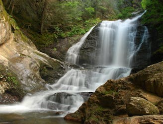
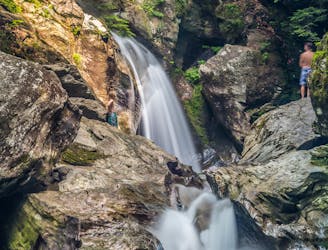
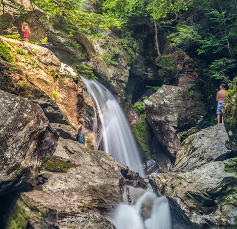
Short hike to a multi-tiered waterfall tucked in a granite gorge.
Easy Hiking
7 km away
A committing traverse of the surprisingly rugged and varied peaks east of Stowe.
Severe Hiking
7 km away
Straight up the slope of Mount Hunger to its panoramic summit.
Difficult Hiking
7.6 km away

Walk to a historic cabin in the woods beside a river.
Easy Hiking
8.9 km away
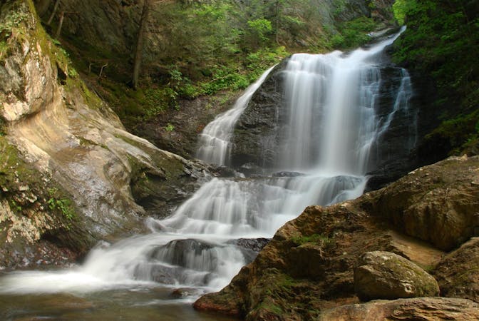
A 40-foot waterfall and summer swimming holes in a mountain stream.
Easy Hiking
8 routes · Hiking
10 routes · Hiking