95 m away
Fuhrer Finger Ski Descent to Nisqually Bridge
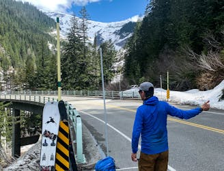
One of the longest continuous ski descents in the continental US!
Severe Ski Touring
- Distance
- 20 km
- Ascent
- 2.9 km
- Descent
- 3.3 km
The Birthplace of Turns All Year
Ski Touring Moderate

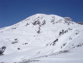
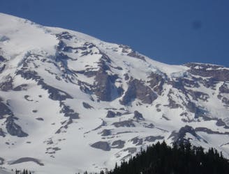
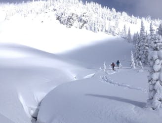
If you account for how many visits a ski touring destination has all year I would say that the Muir Snowfield is the most popular spot in the Southern Cascades. Being that it has snow year round there isn’t a single month where people aren’t heading out to get in a few turns. Being that this line starts at 10,100 feet and descends all the way to 5,400 with you gaining elevation immediately after leaving the parking lot it ticks all the right boxes for most people. Wether it is riding powder snow in the early winter or scraping icy turns in late September this Mountain is one of the birthplaces for the term Turns All Year.
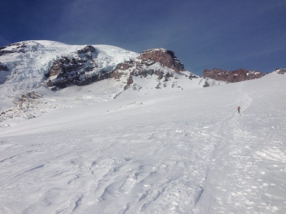
Leaving the Paradise Parking lot you will start the trail in Sub alpine making your way up an area referred to as the Skyline Trail. If it is during the winter months this area will be covered in snow but during summer it is a concrete path all the way up to Alta Vista. Once above you need to make your way up near Panorama Point. If in a deep snowpack you can climb directly up the Southwest slopes just above Glacier Vista but during the summer just keep following the Skyline trail which traverses across the slopes.
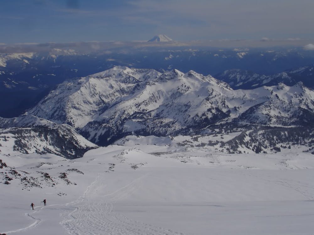
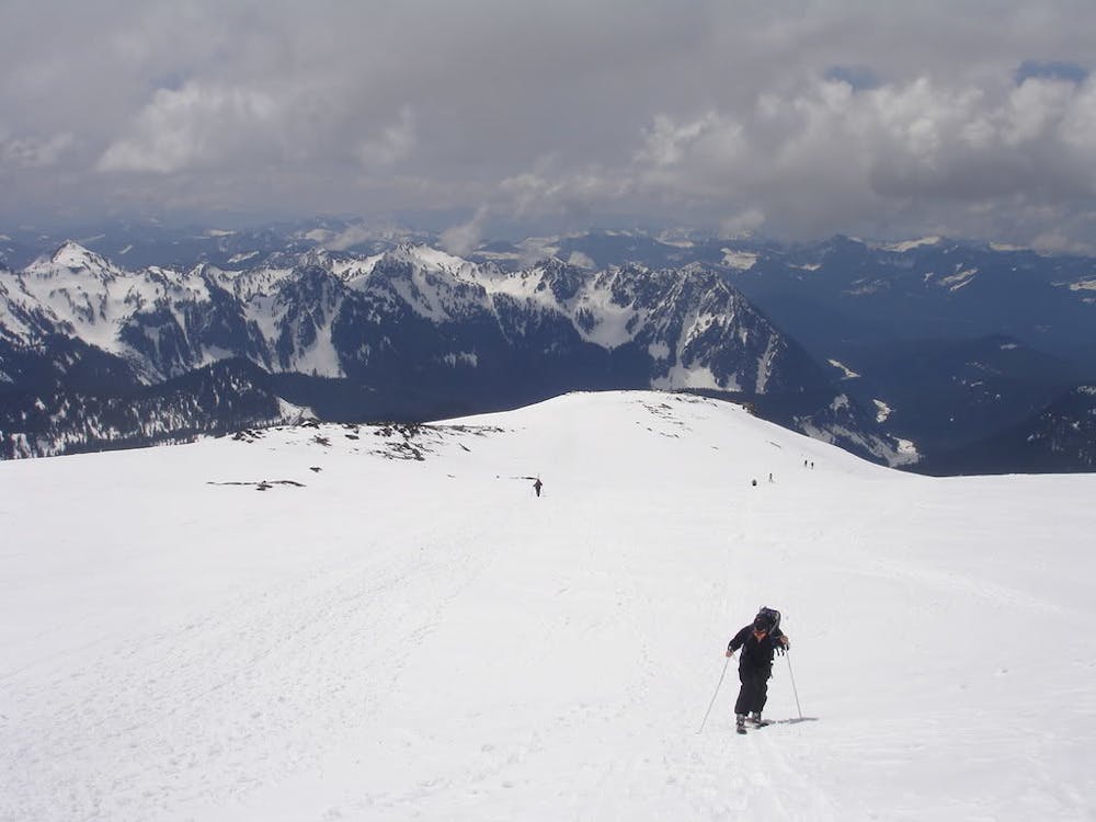
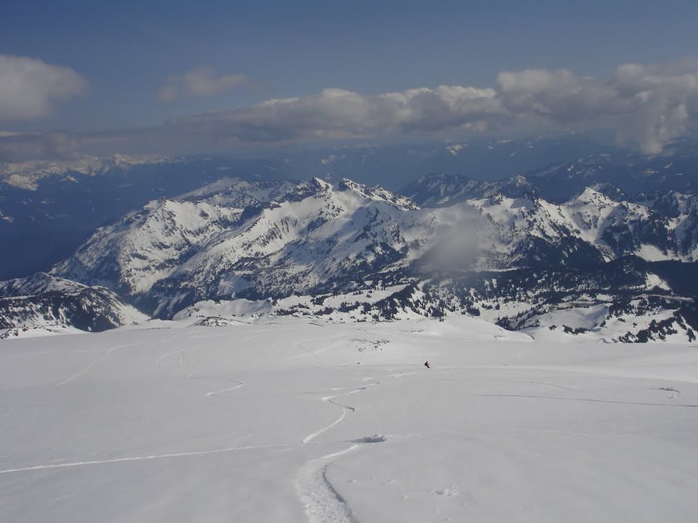
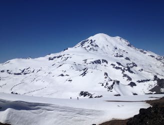
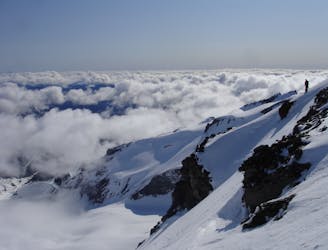
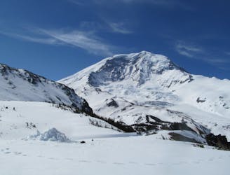
Before long you will connect with the Pebble Creek trail that soon will make its way to the lower slopes of the Muir Snowfield. Around 7,300 feet you will arrive at the base and from here on out it a long slog….scenic yes but once again a long slog. Looking to the north while you climb you will keep going over roller after roller thinking that it is the last one only to find there is another in front of you. Before long you will be excited by a spotting the Muir shelter in the distance but remember that this perspectives can be deceiving. After a few hours of climbing and a few quick breaks you will finally be sitting up at the Muir shelter and looking south towards Mount Adam and Saint Helens in the distance.
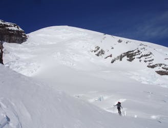
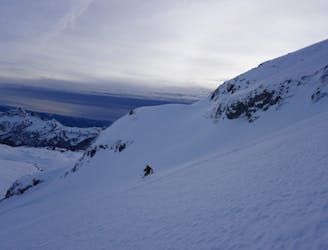
Descending down the Muir snowfield there is no particular right way to go but there definitely is a wrong way to go. Basically make turns wherever it is smooth but make sure you stay heading south until you reach the Upper Pebble Creek area. Once off the main snowfield you need to make a hard traverse to the skiers left where with a bit of speed you can ride all the way to the top of the face you had climbed earlier. Once you descend down make sure to keep your speed retracing the route back down the Skyline trail. Skiers will be able to make it from top to bottom but as with so many ski tours snowboarders will have to climb a few feet at the Dead Horse Creek area so you can ride all the way to the base.
To see my trip in the area and more photos check out this link https://www.whereiskylemiller.com/mt-rainier/muir-snowfield/
Moderate
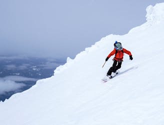
Slopes become slightly steeper at around 25-30 degrees.

Exposure is limited to that of the slope itself. Getting hurt is still likely if the slope is steep and/or the snow is hard.
Close to help in case of emergency.
95 m away
One of the longest continuous ski descents in the continental US!
Severe Ski Touring
100 m away
One of the most classic and longest ski descents in North America!
Severe Ski Touring
411 m away
A 4 day traverse through Mount Rainier National Park
Difficult Ski Touring
460 m away
A stunning Southwest-facing line onto the Nisqually Glacier
Moderate Ski Touring
466 m away
Two separate zones within a single ski tour
Moderate Ski Touring
467 m away
Riding down a stunning line within view of the Muir Snowfield
Severe Ski Touring
497 m away
A classic ski descent off the southern summit of Mount Rainier
Severe Ski Touring
502 m away
A multiday traverse exploring some seldom traveled areas within the park
Severe Ski Touring
508 m away
A power paradise just next to Paradise
Moderate Ski Touring
509 m away
A great alternative to the Muir Snowfield
Moderate Ski Touring

9 routes · Ski Touring

11 routes · Ski Touring