8 m away
Cowlitz Glacier and the Nisqually Chute
Two separate zones within a single ski tour
Moderate Ski Touring
- Distance
- 15 km
- Ascent
- 1.7 km
- Descent
- 1.7 km
A stunning Southwest-facing line onto the Nisqually Glacier
Ski Touring Moderate

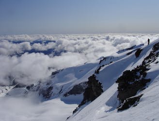
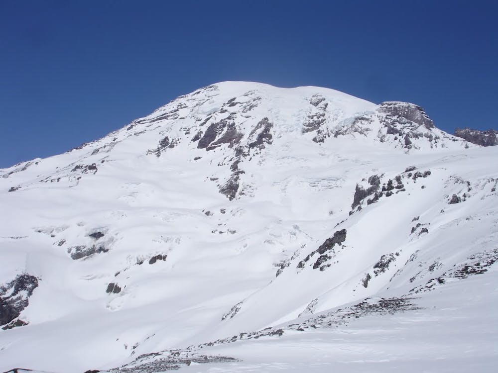
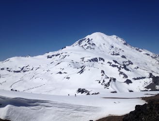
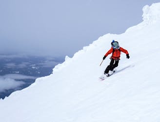
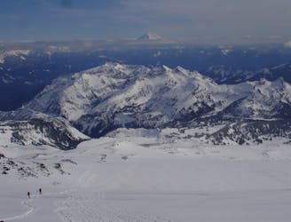
If you’ve ever driven up to Paradise on a clear day there is a good chance the Nisqually chutes have caught your eyes. Just driving across the Nisqually river bridge it is the slopes directly up valley that rises all the way to the Muir Snowfield. Walking up to Glacier Vista you have a great perspective of this beauty of a line. Starting at around 8,100 feet it is a consistent pitch of fall line turns until arriving on the glacier at 6,300 feet. While I’ve talked about how amazing this Southwest facing line is I should also mention how incredibly dangerous it can be. From Wetslides to slab avalanches you need to be confident in the snowpack before even considering dropping in. Also being that it is alpine you only want to ride it when the sun is out.
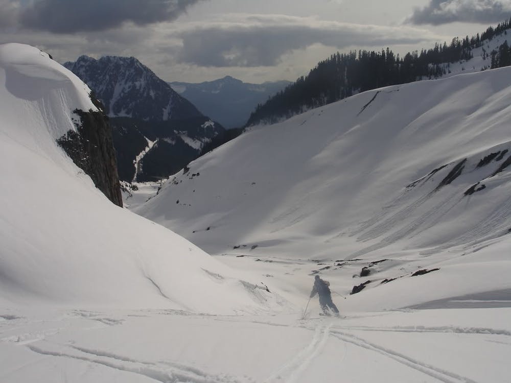
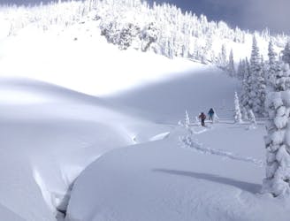
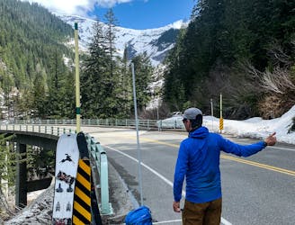
Leaving the Paradise Visitor center the ascent route is almost identical to heading up to Camp Muir. Follow the Skyline trail until the Glacier Vista Point then climb directly up the bowl which gives you access to the Muir Snowfield Ridge. Heading up the snowfield you have two options either you can do a hard traverse lookers left at around 8,100 feet or just continue up to Camp Muir before riding down to it. In the past I had always just kept climbing and rode down to it after taking a break up at Camp Muir.
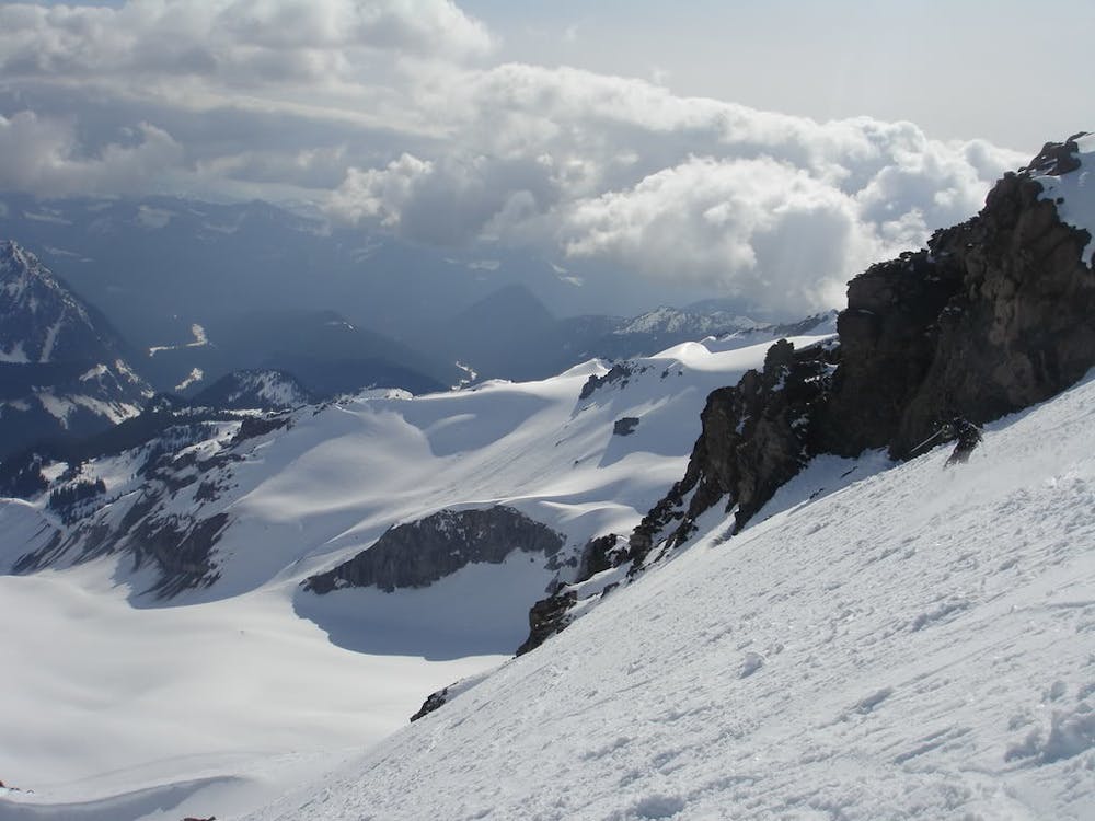
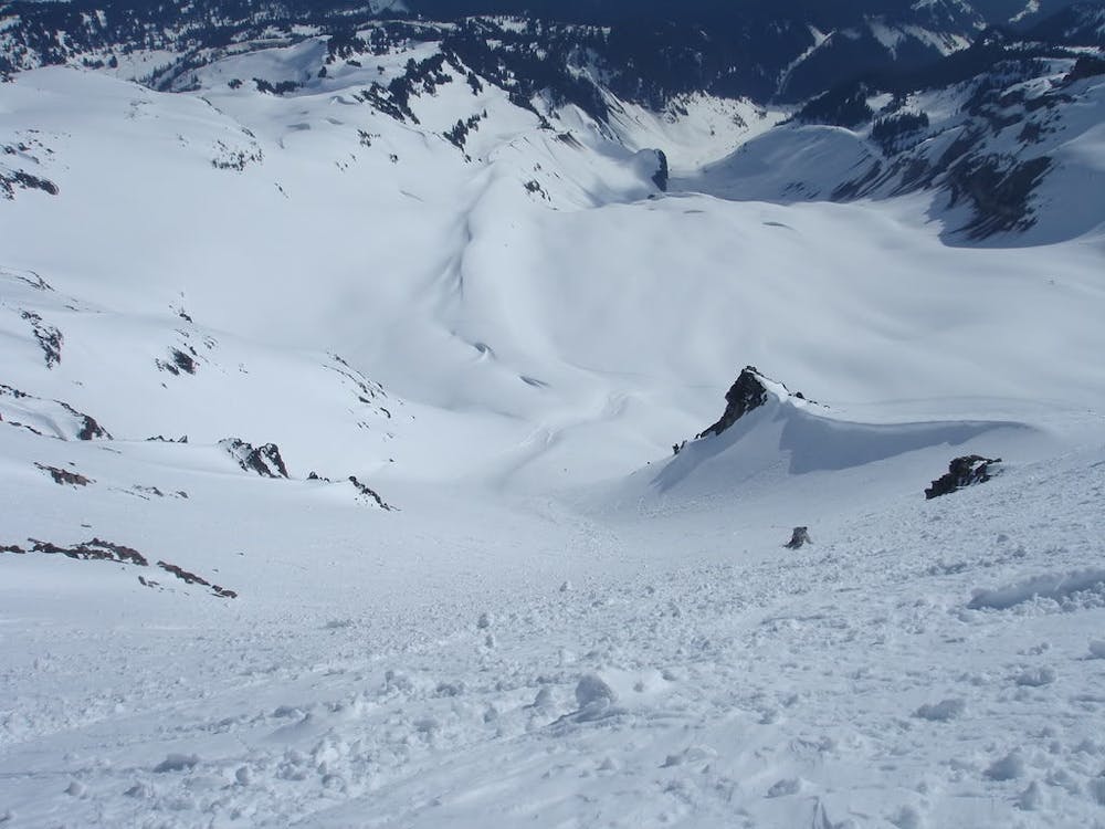
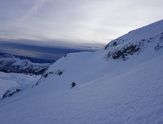
Leaving from the Muir shelter just start riding down as if you were doing a normal descent but once around 8,500 feet it is time to loosely start heading skiers right. Heading over to the western side be careful that you are going to the right spot and if there is a question be extra cautious before committing to the roll over. That being said when you are on top it is quite obvious. Dropping in the slope starts steep and slowly starts mellowing out before long heading to the flats of the Nisqually Glacier. If there is enough snow you can keep riding down on the skiers right side all the way to the Nisqually bridge but if you just want to head back to Paradise make your way skiers left before hitting the Moraine Trail which climbs back up to the Paradise area.
To see my trip in the area and more photos check out this link https://www.whereiskylemiller.com/mt-rainier/nisqually-chute/
Moderate
Slopes become slightly steeper at around 25-30 degrees.

As well as the slope itself, there are some obstacles (such as rock outcrops) which could aggravate injury.

Close to help in case of emergency.
8 m away
Two separate zones within a single ski tour
Moderate Ski Touring
9 m away
Riding down a stunning line within view of the Muir Snowfield
Severe Ski Touring
43 m away
A classic ski descent off the southern summit of Mount Rainier
Severe Ski Touring
49 m away
A multiday traverse exploring some seldom traveled areas within the park
Severe Ski Touring
59 m away
A 4 day traverse through Mount Rainier National Park
Difficult Ski Touring
71 m away
A power paradise just next to Paradise
Moderate Ski Touring
85 m away
A great alternative to the Muir Snowfield
Moderate Ski Touring
439 m away
One of the most classic and longest ski descents in North America!
Severe Ski Touring
447 m away
One of the longest continuous ski descents in the continental US!
Severe Ski Touring
460 m away
The Birthplace of Turns All Year
Moderate Ski Touring

9 routes · Ski Touring

11 routes · Ski Touring