40 m away
Gib Chute
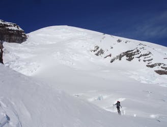
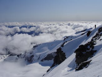
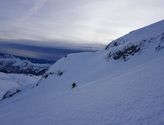
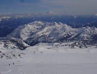
Riding down a stunning line within view of the Muir Snowfield
Severe Ski Touring
- Distance
- 21 km
- Ascent
- 2.8 km
- Descent
- 2.8 km
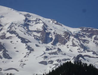
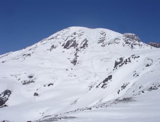
A multiday traverse exploring some seldom traveled areas within the park
Ski Touring Severe

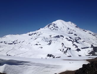
The Paradise to Carbon River Traverse was a trip I had dreamed of over numerous years. Having become familiar with this areas I wanted to link together both lines I had done in the past with other areas I had always wanted to go to. If you are interested in doing this trip you will need a nice weather window as well as a stable snowpack as you will be traveling in avalanche terrain most of the time. Route finding can be complex in certain areas so be extra cautious that you are heading the right way and remember that this area is super remote so you must be 100% self sufficient. Since you will be camping along the way make sure to get permits from the Paradise Visitor Center before starting the trip.
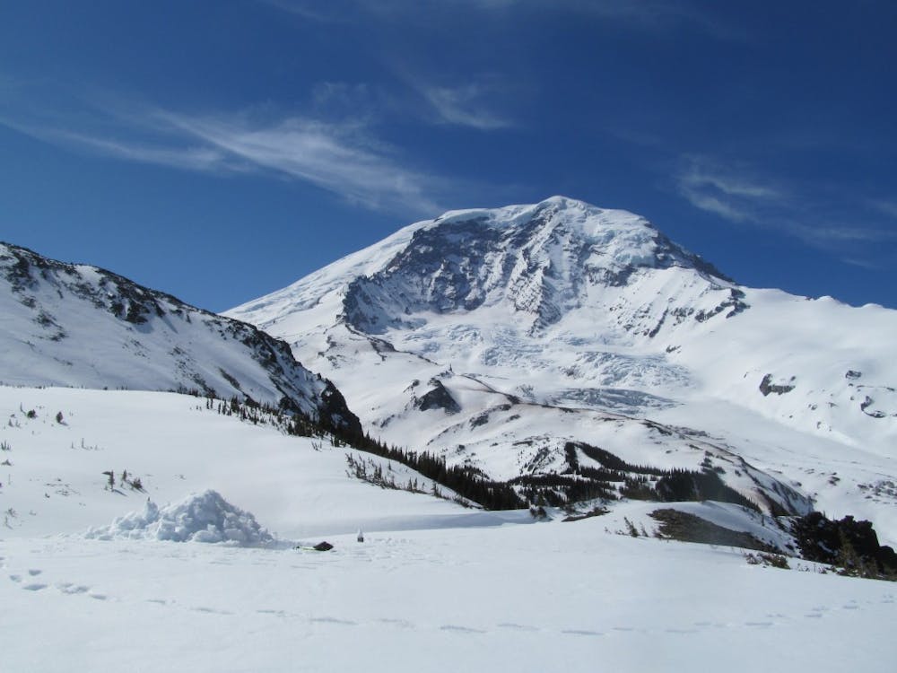

Starting off at the Paradise Visitor Center make your way East heading on the road down to the Paradise River valley before heading up the Forth Crossing trail. Once on the high ridge start heading north up to the base of the Paradise glacier before wrapping around to a low col just north of the Cowlitz Rocks. Now it is time for the first ski descent dropping into the Cowlitz Glacier basin before transitioning and heading East into the Whitman Glacier Valley and heading north. Once near the top make your way east up to the top of Whitman Crest.
Once on top of Whitman Crest you need to decided if you want to go through with the trip. From here on out you will be committed with no easy way to get back to the Paradise Visitor Center. If you are still game it is time for your first big descent riding the semi mellow Northeast slopes of the Whitman Glacier down a ramp before it rolls over. Be cautious that you are at the right spot as most areas terminate in a cliff but just west of Meany Crest is a nice and clean slope all the way down to the Summerland Basin.
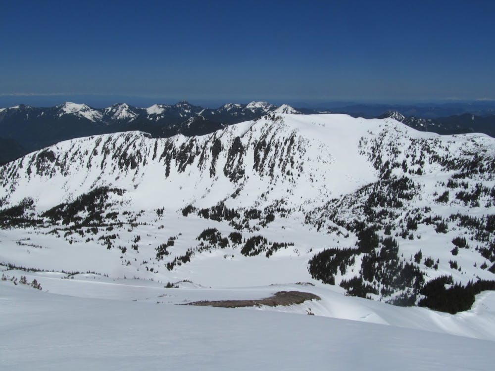
Standing in the Summerland Basin transition and start heading north over the low col off the Southern Ridge of Goat Island Mountain before riding a ways down the Emmons Glacier. For the next climb you need to make sure to stay on the lookers right as you climb up a nice and mellow ramp, but make sure to give some space between you and the Southern slopes of Mount Ruth incase they do slide. Making your way to around 9000 feet you will spot a nice ramp that takes you to up to the Interglacier where you can can climb a few hundred more feet to the top of Steamboat prow.
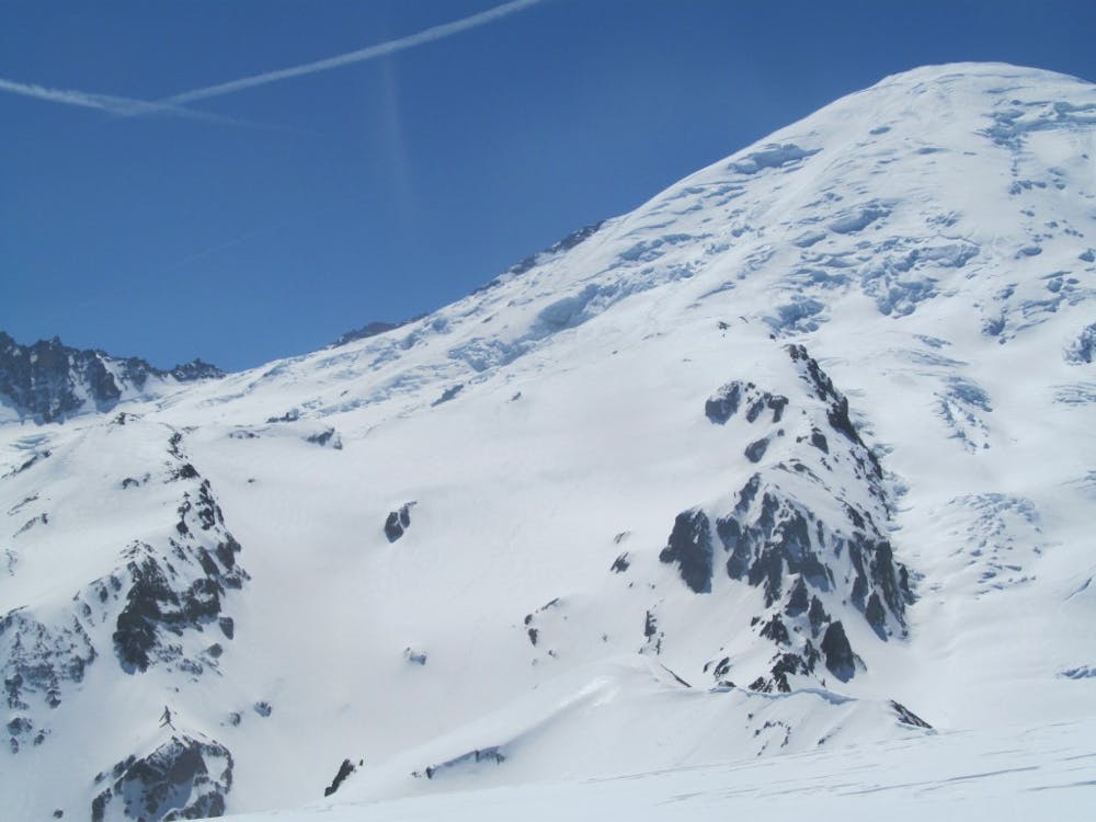
Standing on top of the Interglacier take in the view for a few minutes and snap a photo of the Western slopes of the Third Burroughs as you will need it later. Now ride down the Interglacier keeping speed on the flats going around the Glacier Basin camp until the creek starts bending to the Northeast. Take this opportunity to drink some water as you will not have an open water source for a while. Now start heading northeast following the Glacier Basin trail and once you arrive at the creek just below the Third Burroughs and just before the Sunrise Trail start climbing. Making your way into the alpine keep climbing and before long there will be a steep Southeast face of the Third Burrough where you can climb all the way to the summit.
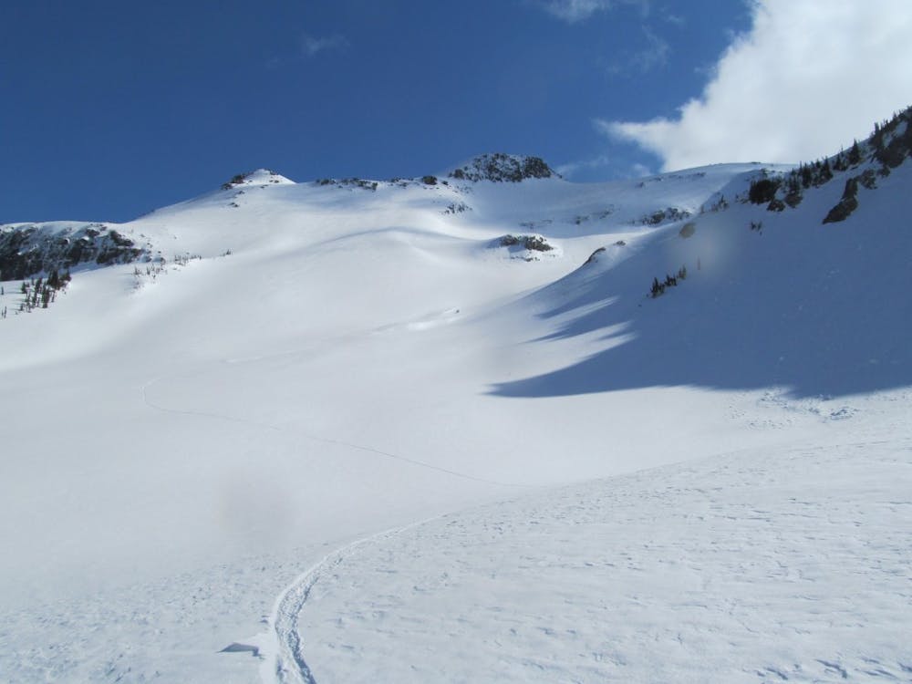
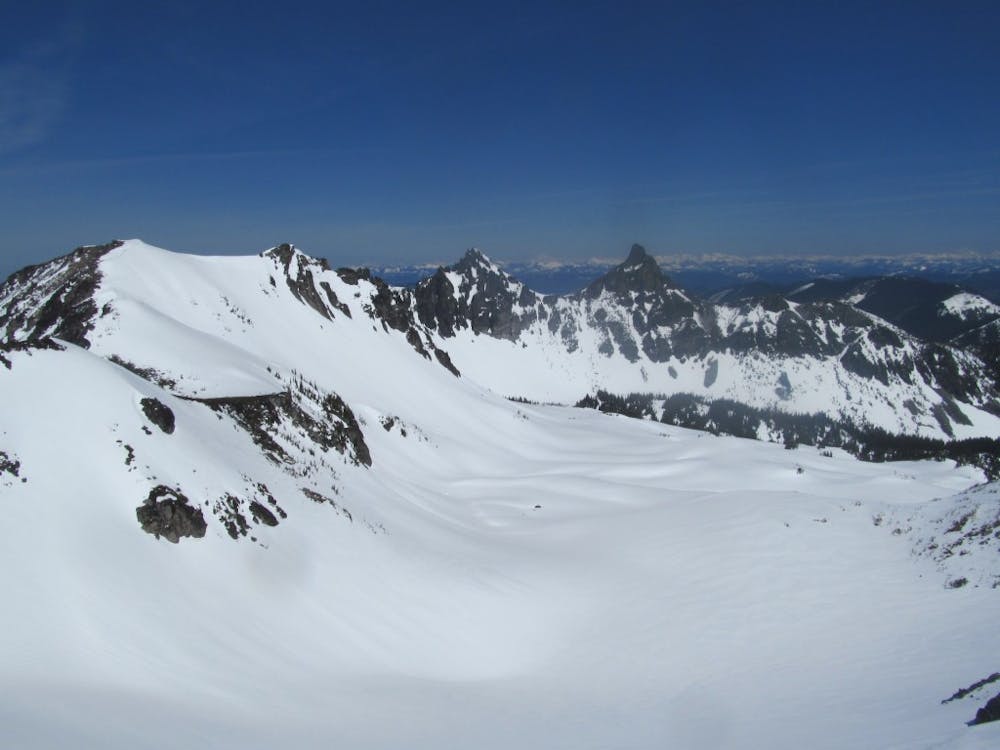
Standing on top of the Third Burroughs the west face is the crux of the route. If you took a picture from Steamboat Prow take the time to check it out. Making your way South down the ridge a little ways you can look down a chute that goes into the valley. This line is steep from top to bottom and only should be done if you know that avalanche conditions are stable. Descend fall line and once onto the Winthrop make a hard traverse to the skiers left getting as far as you can before switching over to skinning.
The next section is both complicated and confusing as I went into the forests and started climbing up what seemed like the main drainage. Once in the alpine wrap around the southern slopes of Mineral Mountain before descending to Mystic Lake. That being said it may be easier just to follow the Wonderland trail up instead. Standing on the shoreline of Mystic Lake now you need to follow the snow covered Wonderland Trail to the West heading over the low col and ride down to lower Moraine Basin. Looking to the East you will spot a gully that you can climb up into Moraine Park just west of Old Desolate.
Being in Moraine Park I decided this would be my base of operations for the next few days as I really wanted to explore this area. Head East over a low but steep col before hiking up to the Summit of Old Desolate, from here you can ride down the Northeast slopes before arriving in the flat basin. Wrap around Elyisian Peak before heading Northwest through the valley and start doing a low traverse up to Crescent Mountain. My goal was to ride down to Crescent Lake via the Northwest face but a few turns into it I decided to turn around as the slopes are very complex. Being back on the ridge snowboard the open Southern Slopes down to Elysian Park.
Once in Elysian Park keep heading South over the ridge before descending down the southern slopes back into Moraine Park. From here it is an easy skin all the way back to camp where you can take in possibly the best view of the North Side of Mount Rainier for the night.
The next tour in the area was focusing on the different aspects of Elysian Peak by heading East once again to the low col of Old Desolate. Once there drop northeast into the valley stopping at the Southeast Base of Elysian Peak. Skinning up to the summit is relatively easy and once on top drop the north face until arriving in the flats. Now you need to wrap back around and back over to the Southeast face once again and follow your skin track all the way to the summit. This time ride down the east face until you once again hook up with the skin track for your final climb back up to the summit. Standing up top now descend down the Southwest face back down to Moraine Park where you can head south back to camp for the night.
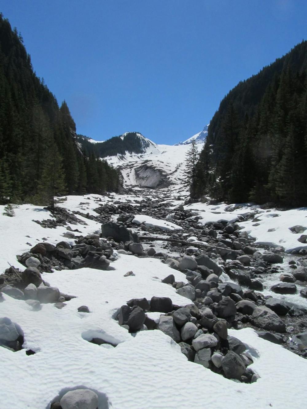
Being the final day of my trip it was time to start thinking about the exit. Leaving camp on the flat upper basin I made my way Northwest until arriving at an open avalanche swath that descended back down to the Wonderland trail. From here I bootpacked up and over the ridge before getting onto the Carbon Glacier. Once on the Carbon Glacier ride down all the way to the toe ( If there is a question about snowpack just follow the Wonderland trail down) then reconnect with the main trail. Now it is time to put your ski gear on your pack and head all the way down to the old Carbon River Ranger Station.
As you can tell from this description this is an incredibly isolated traverse where you will have to be 100% self sufficient but that being said it is almost guaranteed that you will have these zones all to yourself.
To see my trip in the area and more photos check out this link https://www.whereiskylemiller.com/mt-rainier/paradise-carbon-river/
Severe
Steep skiing at 38-45 degrees. This requires very good technique and the risk of falling has serious consequences.

In case of a fall, death is highly likely.

In the high mountains or remote conditions, all individuals must be completely autonomous in every situation.
40 m away
Riding down a stunning line within view of the Muir Snowfield
Severe Ski Touring
41 m away
Two separate zones within a single ski tour
Moderate Ski Touring
47 m away
A classic ski descent off the southern summit of Mount Rainier
Severe Ski Touring
49 m away
A stunning Southwest-facing line onto the Nisqually Glacier
Moderate Ski Touring
80 m away
A power paradise just next to Paradise
Moderate Ski Touring
99 m away
A great alternative to the Muir Snowfield
Moderate Ski Touring
107 m away
A 4 day traverse through Mount Rainier National Park
Difficult Ski Touring
485 m away
One of the most classic and longest ski descents in North America!
Severe Ski Touring
493 m away
One of the longest continuous ski descents in the continental US!
Severe Ski Touring
502 m away
The Birthplace of Turns All Year
Moderate Ski Touring

9 routes · Ski Touring

11 routes · Ski Touring