19 m away
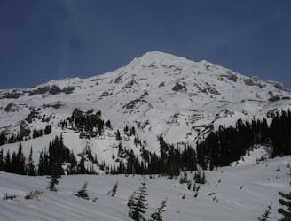
Van Trump Park
A south facing alternative to the Paradise Visitor Center
Moderate Ski Touring
- Distance
- 15 km
- Ascent
- 2 km
- Descent
- 2 km
One of the more straightforward ski descents on Mount Rainier
Ski Touring Difficult

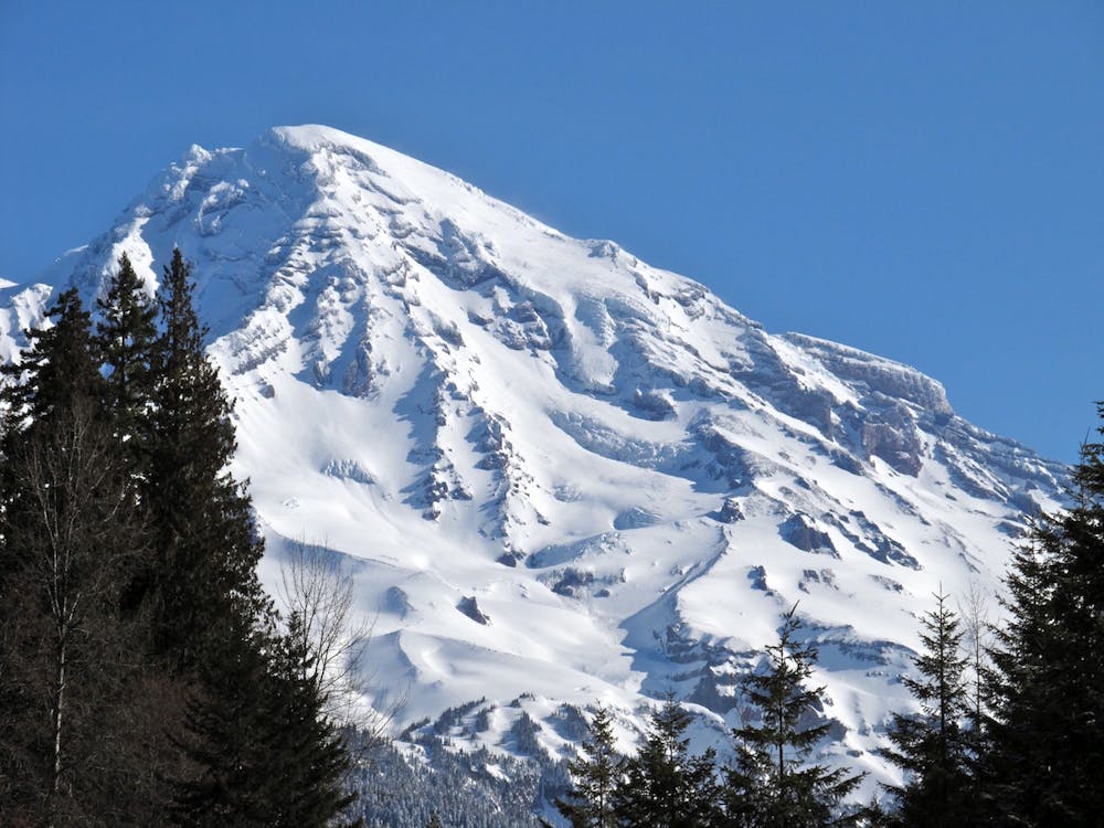
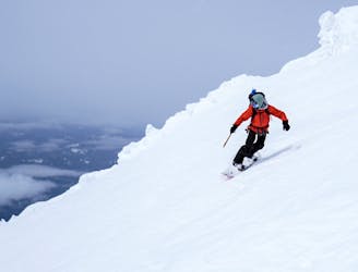
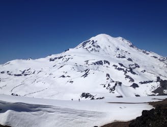
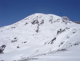
The Success Glacier Couloir is one of the better lines on the upper slopes of Mount Rainier. Being that it is steep and the main slope is crevasse free this route is pretty much fall line compared to numerous descents where you are traversing most of the time. Being that this is a south facing slope you can find perfect corn conditions for thousands of feet. That being said if you want to make it all the way to the summit this route gets much more technical with one of the more scary and exposed traverses in the Mount Rainier area. If you do decided that you want to go for the summit it is particularly important that you start early as the Mountain will start shedding snow before noon.
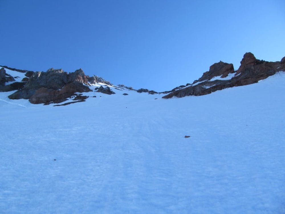
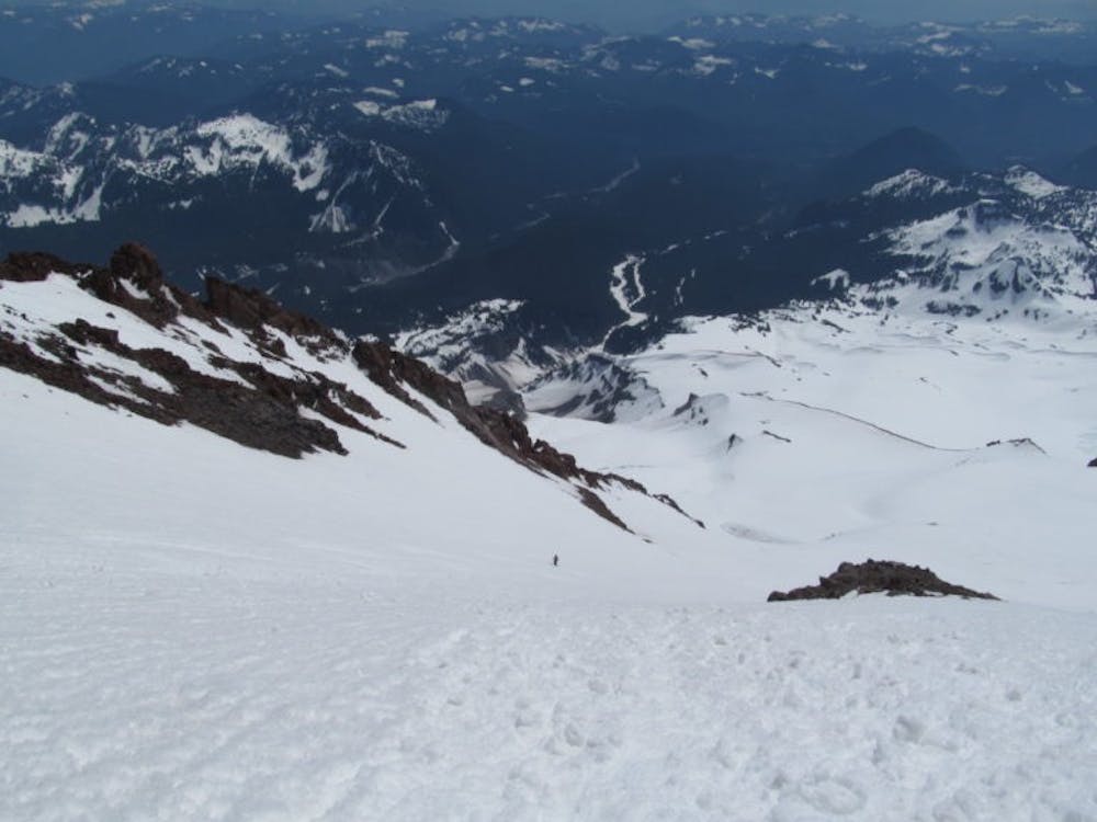
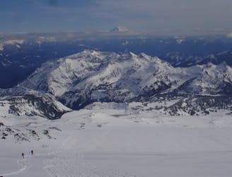
Leaving from the Comet Falls trailhead follow the trail up into the Van Trump Area. Keep following the ridge until it ends at around 7,700 feet where you need to start gaining elevation heading NorthWest. At around 8,900 feet you will find an easy ramp that will get you onto the Kautz Glacier where with a small drop in elevation traversing West you will soon wrap around and arrive on the Success Glacier.
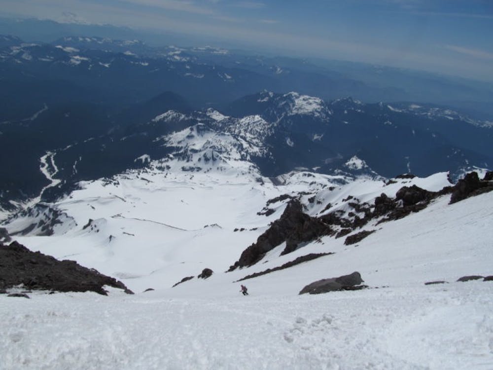
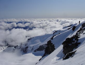
Make your way up the open slopes of the Success Glacier and before long you will make it to the base of the Couloir. With crampons on your feet start climbing up the steep slopes gaining elevation a step at a time. Remember that the slopes don’t ease out once in the chute and keep pushing forward. Once at around 13,000 feet you need to make a decision wether you want to go for the summit or you are there to ski the line. If there to ski find a flat spot on the ridge to transition and descend. If heading for the summit it is time to start traversing lookers right traversing above a massive amount of exposure on the ledge. Once at around 13,500 feet it is the crux of the route traversing east over to the Kautz Glacier where you can easily climb to the summit. When we were there it was too late to safely traverse across and we decided to head back to instead of making it to the summit.
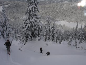
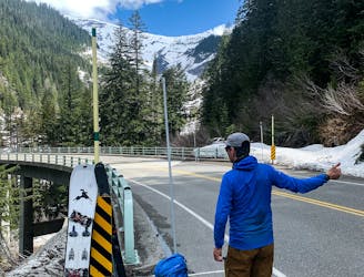
Skiing wise the route is quite straightforward where you just need to follow your ascent route back to the Comet Falls Trailhead. This trip is much easier for skiers when it comes to the approach and getting back to the trailhead but the actual line is a blast no matter what type of snow sliding gear you choose. To see my trip in the area and more photos check out this link
To see my trip in the area and more photos check out this link https://www.whereiskylemiller.com/mt-rainier/fuhrer-finger-success-glacier/
Difficult
Serious gradient of 30-38 degrees where a real risk of slipping exists.

In case of a fall, death is highly likely.
Little chance of being seen or helped in case of an accident.
19 m away
A south facing alternative to the Paradise Visitor Center
Moderate Ski Touring
2.9 km away
Great north facing tree skiing in the Tatoosh Range
Moderate Ski Touring
2.9 km away
A great north facing basin within the Tatoosh Range
Moderate Ski Touring
2.9 km away
A Small Traverse Through the Middle of the Tatoosh Range
Difficult Ski Touring
3.3 km away
The Birthplace of Turns All Year
Moderate Ski Touring
3.3 km away
One of the longest continuous ski descents in the continental US!
Severe Ski Touring
3.3 km away
One of the most classic and longest ski descents in North America!
Severe Ski Touring
3.7 km away
A 4 day traverse through Mount Rainier National Park
Difficult Ski Touring
3.7 km away
A stunning Southwest-facing line onto the Nisqually Glacier
Moderate Ski Touring
3.8 km away
Two separate zones within a single ski tour
Moderate Ski Touring

9 routes · Ski Touring
6 routes · Ski Touring

11 routes · Ski Touring