60 m away
Sunbeam Basin
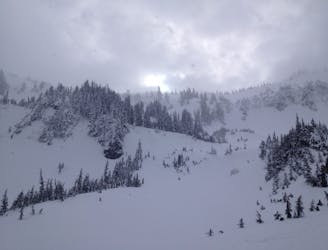
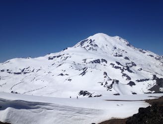
A great north facing basin within the Tatoosh Range
Moderate Ski Touring
- Distance
- 8.9 km
- Ascent
- 625 m
- Descent
- 625 m
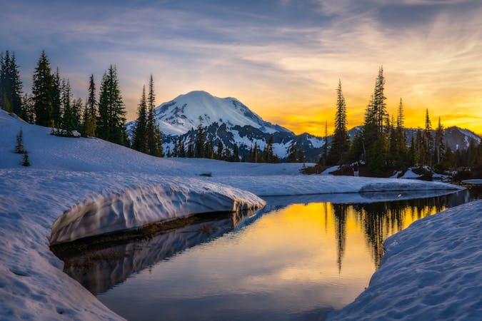
A Small Traverse Through the Middle of the Tatoosh Range
Ski Touring Difficult

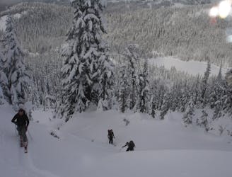
The Tatoosh Traverse was a trip that we had been talking about for years. It should be said that this isn’t a full traverse but totally doable in a day trip. Since you will spend quite a bit of time on South faving avalanche slopes make sure only to do this trip if you are confident in the snowpack. While you will have to climb up some pretty steep slopes fortunately this trip is pretty straightforward and there is a good chance you will have this zone to yourself.
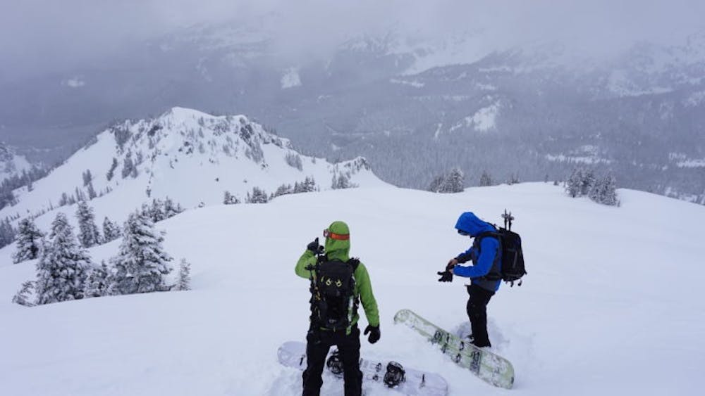
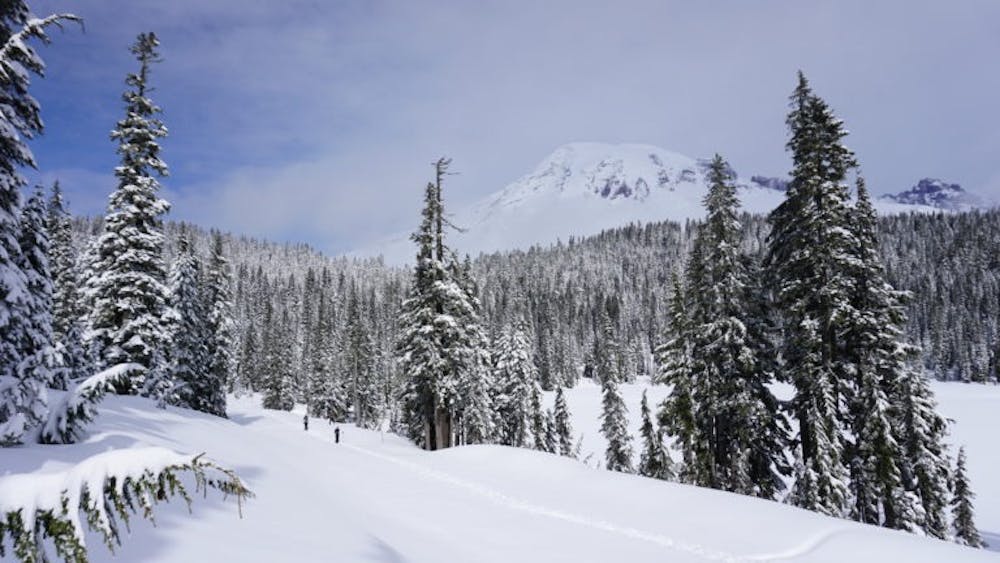
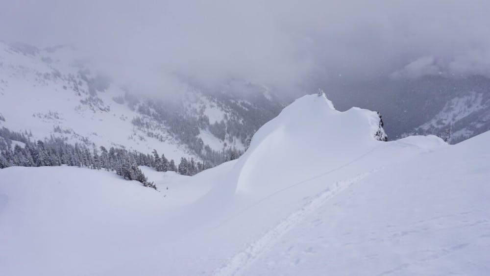
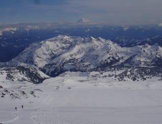
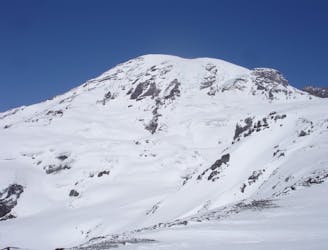
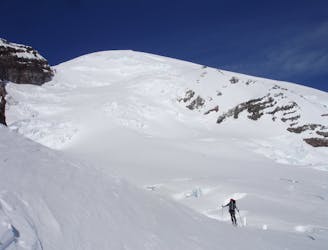
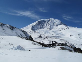
Heading up the Paradise road you need to start this tour at the Narada Falls Parking lot. Start by heading east up the open slopes before reconnecting with the Stevens Canyon Road and follow it out to the Reflection Lakes area. Keep heading South on the road wrapping around a ridge then once at the base of Sunbeam Basin start heading south. Before long you will get into an opening basin where you can climb lookers right through the trees before connecting with the Pinnacle Glacier Basin. From here head southeast to the ridge before heading west to and climbing the South face of Castle Mountain.
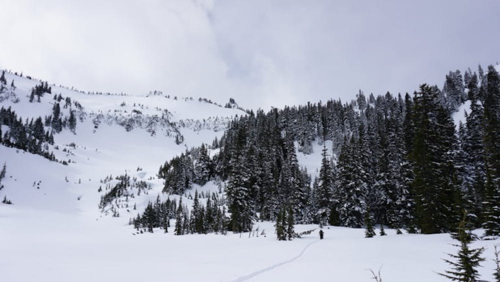
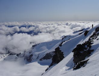
Standing on top of Castle Peak we dropped directly south into a wide open avalanche swath which connected with the main gully down lower. Transitioning around 5,200 feet make a hard traverse through the trees west crossing over another avalanche swath before getting into the protected trees and start gaining elevation. Follow the southeast bowl up through the trees and before long you will hit a flat bench and need to climb the semi steep southeast face before arriving on the summit of Plummer Peak.
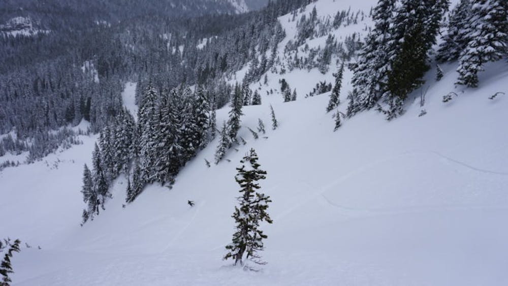
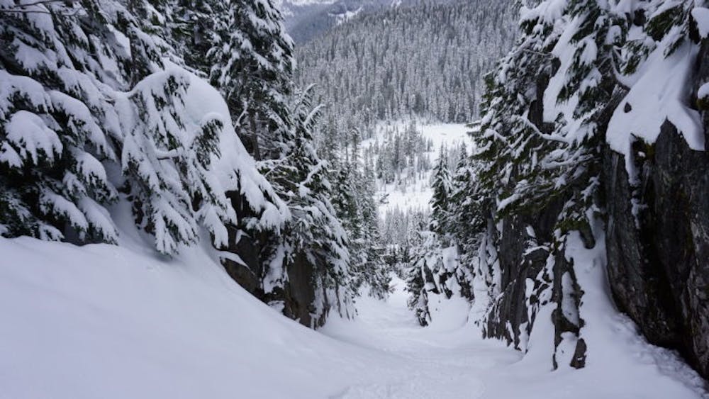
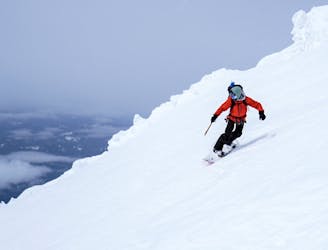
Standing on Plummer Peak drop down the West bowl riding all the way to Cliff Lake. From here you will need to skin north a few hundred feet before arriving at a low col between Lane and Denman Peaks. Drop into the north facing chute arriving in the flats below. Now you can head East loosely following the main drainage which will reconnect with the Stevens Canyon Road. From here just follow the road north until you are just above the Narada Falls Parking lot and ride it back down to the car.
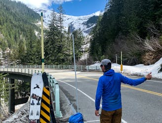
To see my trip in the area and more photos check out this link https://www.whereiskylemiller.com/mt-rainier/tatoosh-traverse/
Difficult
Serious gradient of 30-38 degrees where a real risk of slipping exists.

As well as the slope itself, there are some obstacles (such as rock outcrops) which could aggravate injury.
Away from help but easily accessed.
60 m away
A great north facing basin within the Tatoosh Range
Moderate Ski Touring
99 m away
Great north facing tree skiing in the Tatoosh Range
Moderate Ski Touring
997 m away
The Birthplace of Turns All Year
Moderate Ski Touring
1.1 km away
One of the longest continuous ski descents in the continental US!
Severe Ski Touring
1.1 km away
One of the most classic and longest ski descents in North America!
Severe Ski Touring
1.3 km away
A 4 day traverse through Mount Rainier National Park
Difficult Ski Touring
1.3 km away
A stunning Southwest-facing line onto the Nisqually Glacier
Moderate Ski Touring
1.3 km away
Two separate zones within a single ski tour
Moderate Ski Touring
1.3 km away
Riding down a stunning line within view of the Muir Snowfield
Severe Ski Touring
1.3 km away
A multiday traverse exploring some seldom traveled areas within the park
Severe Ski Touring

9 routes · Ski Touring
6 routes · Ski Touring

11 routes · Ski Touring