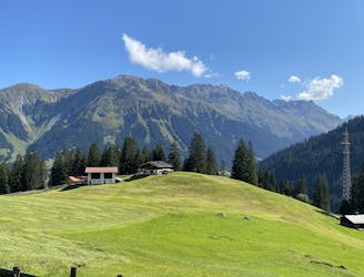
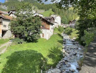
Approach to Tschierva Hut

A steady walk in which can be MTB assisted, or via a horse drawn cart!
Difficult Hiking
- Distance
- 12 km
- Ascent
- 829 m
- Descent
- 15 m
Go hiking in Graubünden with curated guides of the best hikes across the region. With over 161 3D trail maps in FATMAP, you can easily discover and navigate the best trails in Graubünden.
No matter what your next adventure has in store, you can find a guide on FATMAP to help you plan your next epic trip.
Get a top hiking trail recommendation in Graubünden from one of our 20 guidebooks, or get inspired by the 161 local adventures uploaded by the FATMAP community. Start exploring now!
A steady walk in which can be MTB assisted, or via a horse drawn cart!
Difficult Hiking
Day 7 of the 7 day Via Alpina hiking itinerary along the limestone cliffs of Rätikon.
Moderate Hiking
Day 6 of the 7 day Via Alpina hiking itinerary along the limestone cliffs of Rätikon.
Moderate Hiking
Day 5 of the 7 day Via Alpina hiking itinerary along the limestone cliffs of Rätikon.
Difficult Hiking
Day 4 of the 7 day Via Alpina hiking itinerary along the limestone cliffs of Rätikon.
Moderate Hiking

HO75.02: Suvretta (St. Moritz) - Suvrettatal - Piz Nair
Difficult Hiking
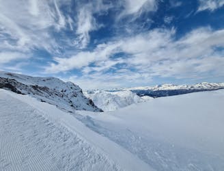
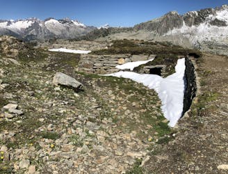
Winterwandern mit Grödeln - winter hike with light crampons
Moderate Hiking
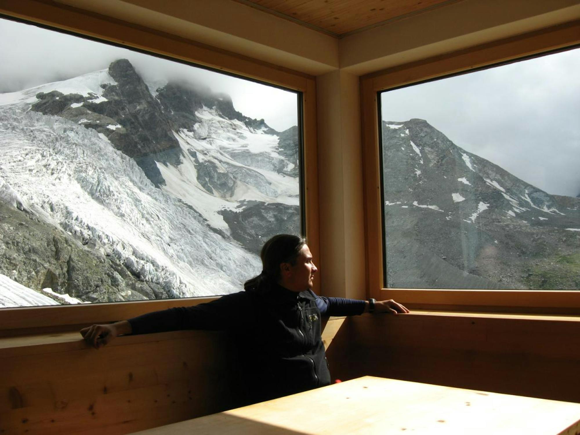
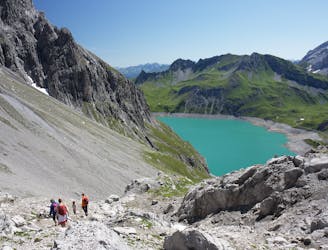
trail with amazing views over Tschierva glacier and all summits of the valley
Difficult Hiking
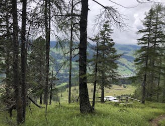
Great walk in nature
Moderate Hiking

dal passo Umbrail al piz Umbrail, cresta di Rims e discesa nella valle del Braulio
Difficult Hiking
A feast of breathtaking views the entire way.
Moderate Hiking
vom Oberalp über den Pazolastock zum Rossbodenstock, Thomasee und zurück
Difficult Hiking
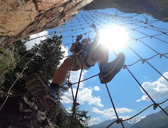
Klettersteig Resgia Teil I II
Severe Hiking
einfachste Wanderung (Spaziergang) zum Aussichtspunkt Sur Mottas mit Abstecher an den lai nair (Moorgebiet)
Easy Hiking
Klettersteig Piz Trovat I
Difficult Hiking

Second etappe in the Bernina Classic trek
Moderate Hiking