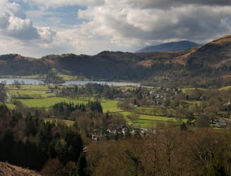
Black Moss Pot
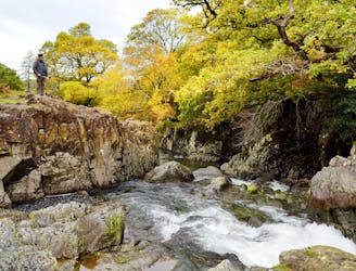
A beautiful walk to an exceptional wild swimming spot
Moderate Hiking
- Distance
- 6.8 km
- Ascent
- 115 m
- Descent
- 115 m
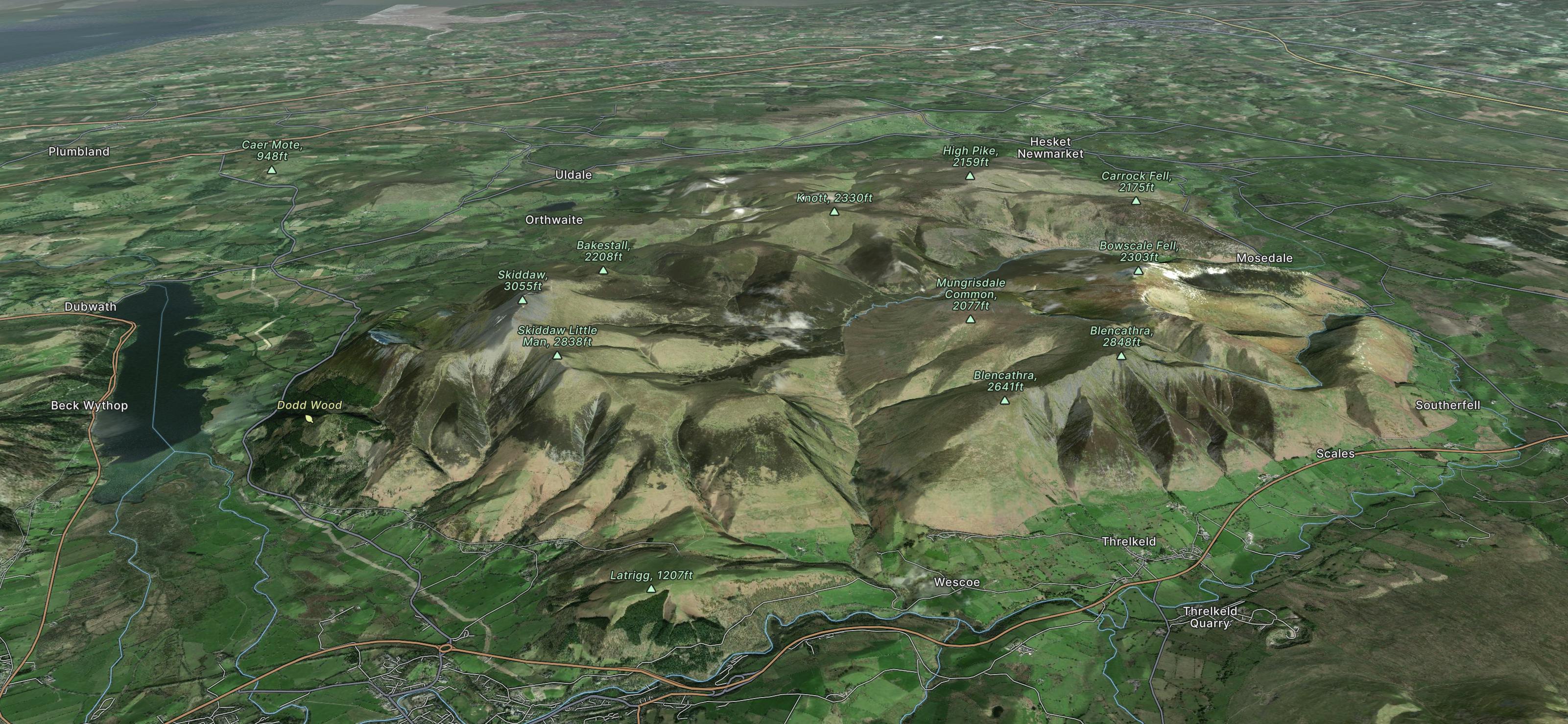
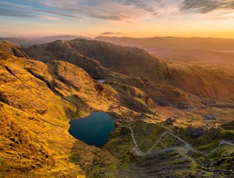
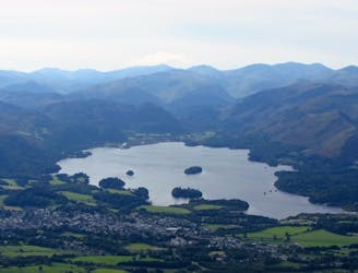
England's largest National Park is now a World Heritage Site, home to Scafell Pike - its highest mountain, Wastwater - its deepest lake and thriving communities like Keswick and Bowness-on-Windermere.
Explore Lake District National Park with curated guides of the best hiking trails, mountain bike trails, trail running routes, and more. With over 138 3D trail maps in FATMAP, you can easily discover and navigate the best trails in Lake District National Park.
No matter what your next adventure has in store, you can find a guide on FATMAP to help you plan your next epic trip.
Get a top trail recommendation in Lake District National Park from one of our 9 guidebooks, or get inspired by the 138 local adventures uploaded by the FATMAP community. Start exploring now!

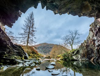
A beautiful walk to an exceptional wild swimming spot
Moderate Hiking
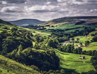
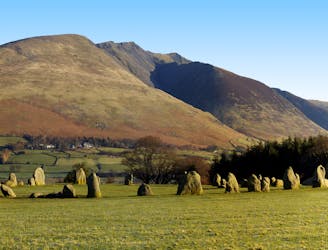
Circumnavigate a beautiful little lake and visit one of the Lake District's most famous manmade landmarks.
Moderate Hiking
One of the iconic walks in the UK, the Coast to Coast - also known as Wainwright's Coast to Coast - is a long distance hike from St Bees Head in Cumbria to Robin Hood's Bay in Yorkshire.
Difficult Hiking
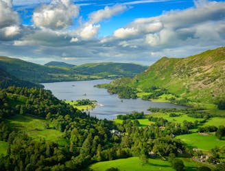
The Ullswater Way connects shoreline paths, woodland trails, fast land and popular lakeside villages to loop around Ullswater lake in the Lake District.
Moderate Hiking
Hike one of the Lake District's most iconic mountains and pass a spectacular crag en route
Difficult Hiking
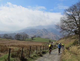
This mountain bike route could definitely be called Loughrigg Lite in comparison to some possibilities in the area, but this wouldn’t really do justice to a superb little loop that in just 10km takes in a little of everything that’s good about Lakeland mountain biking.
Moderate Mountain Biking
A short but sweet loop from Keswick heading out to Threlkeld and back via some great singletrack skirting Lonscale Fell and a fast descent from Lattrig back into town.
Difficult Mountain Biking
A steep ride, carry and push from Keswick to the top of one of the highest legally rideable fells in the Lakes, followed by a fast, loose and wild descent back to town! Not for beginners!
Severe Mountain Biking
A big ride for experienced mountain bikers, climbing to and descending from two classic Lakeland passes on some of the best riding in the Lakes.
Severe Mountain Biking
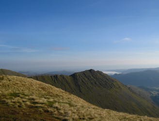
Blencathra is not only one of the oldest mountains in Lakeland, it’s one of the finest too.
Extreme Hiking
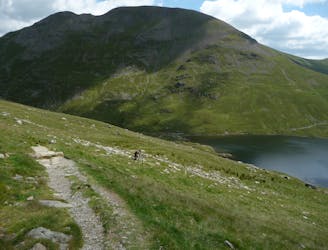
This is a fantastic circuit around the head of Wasdale on generally quiet fells, Great Gable being the obvious exception, with equally fantastic views both towards Lakeland and out across the Irish Sea.
Difficult Hiking
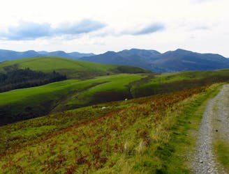
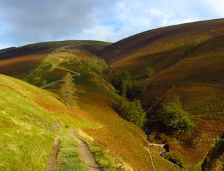
For a completely different day out head round to the hill's wilder northeastern side, where the wide open spaces of the Skiddaw Forest have plenty to offer lovers of remote country.
Moderate Hiking
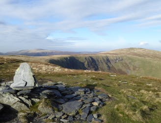
A less-trodden ascent to Blencathra.
Severe Hiking
A big route up England's highest legally ride-able hill, with a long steep and technical descent on challenging trails suitable for experienced riders.
Extreme Mountain Biking
A ride on the lesser used side of Helvellyn for fit and technically skilled riders prepared for a full-on mountain day!
Severe Mountain Biking
A mammoth outing from Grasmere climbing up and over the entire Helvellyn ridge, before returning on the Old Coach Road and back on the Thirlmere Valley road to Grasmere. This is a big mountain day out so pack a backpack accordingly!
Severe Mountain Biking