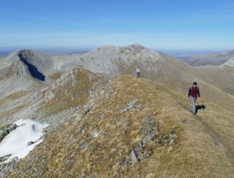
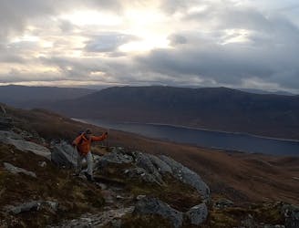
Liathach
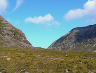
Torridon is the archetypal west coast range, and if you like your scenery on an epic scale it's unequalled.
Extreme Hiking
- Distance
- 15 km
- Ascent
- 1.3 km
- Descent
- 1.3 km
Explore Highland with curated guides of the best hiking trails, mountain bike trails, ski routes, and more. With over 165 3D trail maps in FATMAP, you can easily discover and navigate the best trails in Highland.
No matter what your next adventure has in store, you can find a guide on FATMAP to help you plan your next epic trip.
Get a top trail recommendation in Highland from one of our 13 guidebooks, or get inspired by the 165 local adventures uploaded by the FATMAP community. Start exploring now!
Torridon is the archetypal west coast range, and if you like your scenery on an epic scale it's unequalled.
Extreme Hiking
A shorter, easier alternative to the neighbouring Ring of Steall - but no less worthwhile.
Extreme Hiking
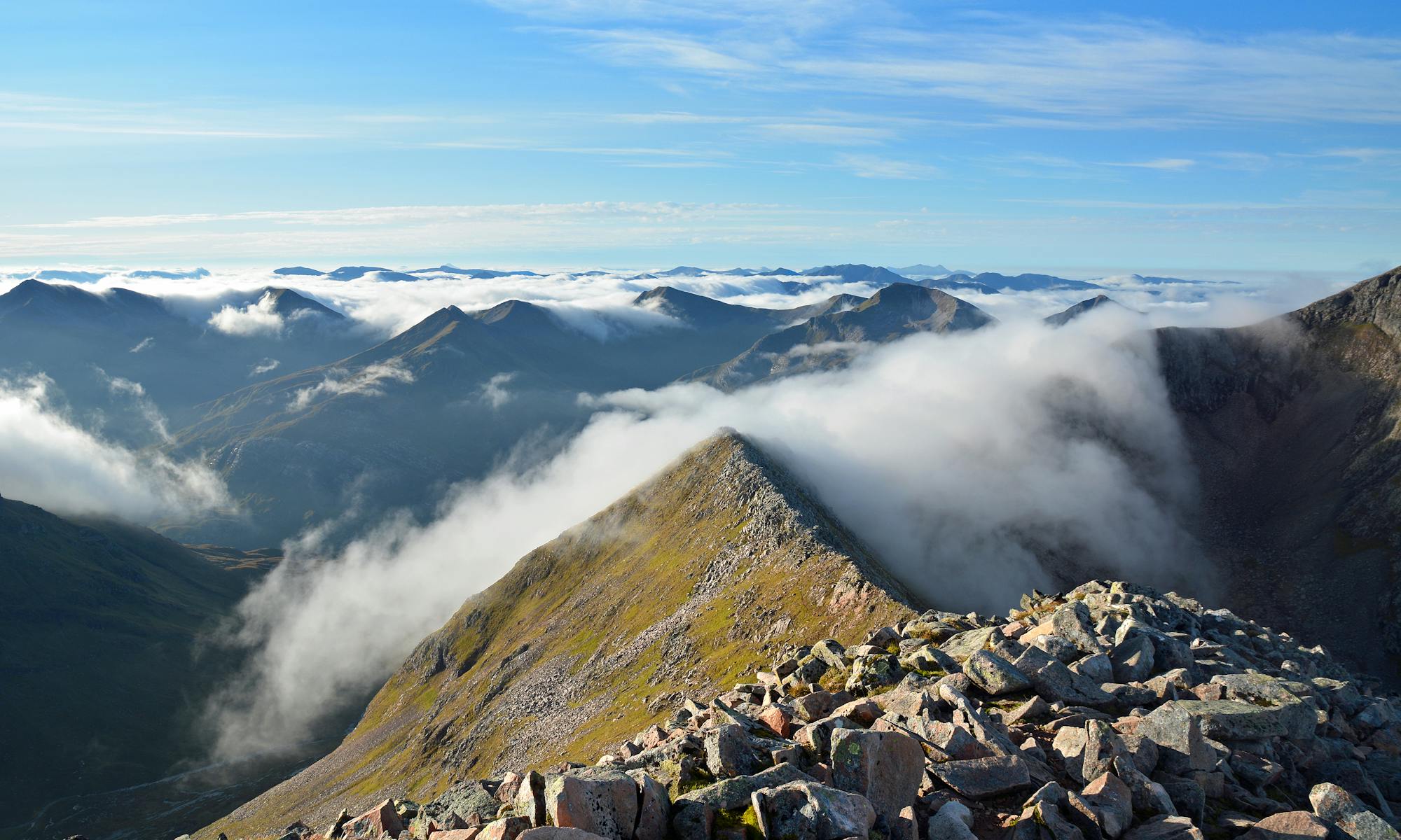
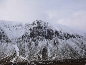
Glen Coe's highest peak, Bidean nam Bian, forms the apex of a complex and majestic massif of several sharp summits, with chiselled crests and deep-gouged corries walled by an impressive array of crags.
Extreme Hiking
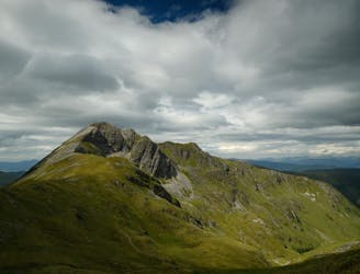
A long and challenging classic ridge walk with a feeling of remoteness.
Extreme Hiking
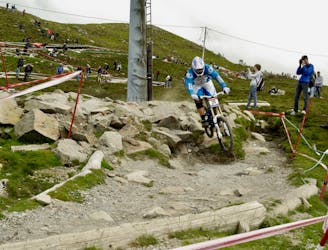
The renowned Fort William World Cup Downhill Track is an iconic test piece for the best downhill MTB racers from around the world!
Extreme Mountain Biking

Take on this endurance challenge with sweeping views.
Severe Hiking

For experienced, fit mountain walkers who do not mind easy scrambling but are not climbers, this is the finest way to climb Ben Nevis.
Difficult Hiking

long ass day on the saddle
Severe Mountain Biking
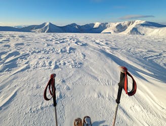
A west coast style "splitter" couloir, only in the Cairngorms...
Extreme Ski Touring

Walk in vis ski resort up to cairn gorm
Severe Hiking

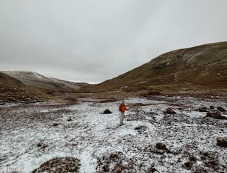
Day 1 approach to Corrour Bothy
Moderate Hiking

Approach for climbs on Fiacaill Buttress. Other sectors more to the left.
Moderate Alpine Climbing
An early season route covering the five highest peaks within the Cairngorms National Park
Severe Ski Touring
Scotland winter - Kintail - Carn Ghluasaid, Sgurr nan Conbhairean & Sail Chaorrain
Difficult Hiking
Scotland Winter - Kintail - Ciste Dhubh
Difficult Hiking
Classic route to reach the summit of munro 'Blà Bheinn' in Isle of Skye. Beautiful 360° view!
Severe Hiking