Stob Coire Creagach (Binnein an Fhidhleir)

Stob Coire Creagach (Binnein an Fhidhleir)
Moderate Hiking
- Distance
- 7 km
- Ascent
- 849 m
- Descent
- 849 m
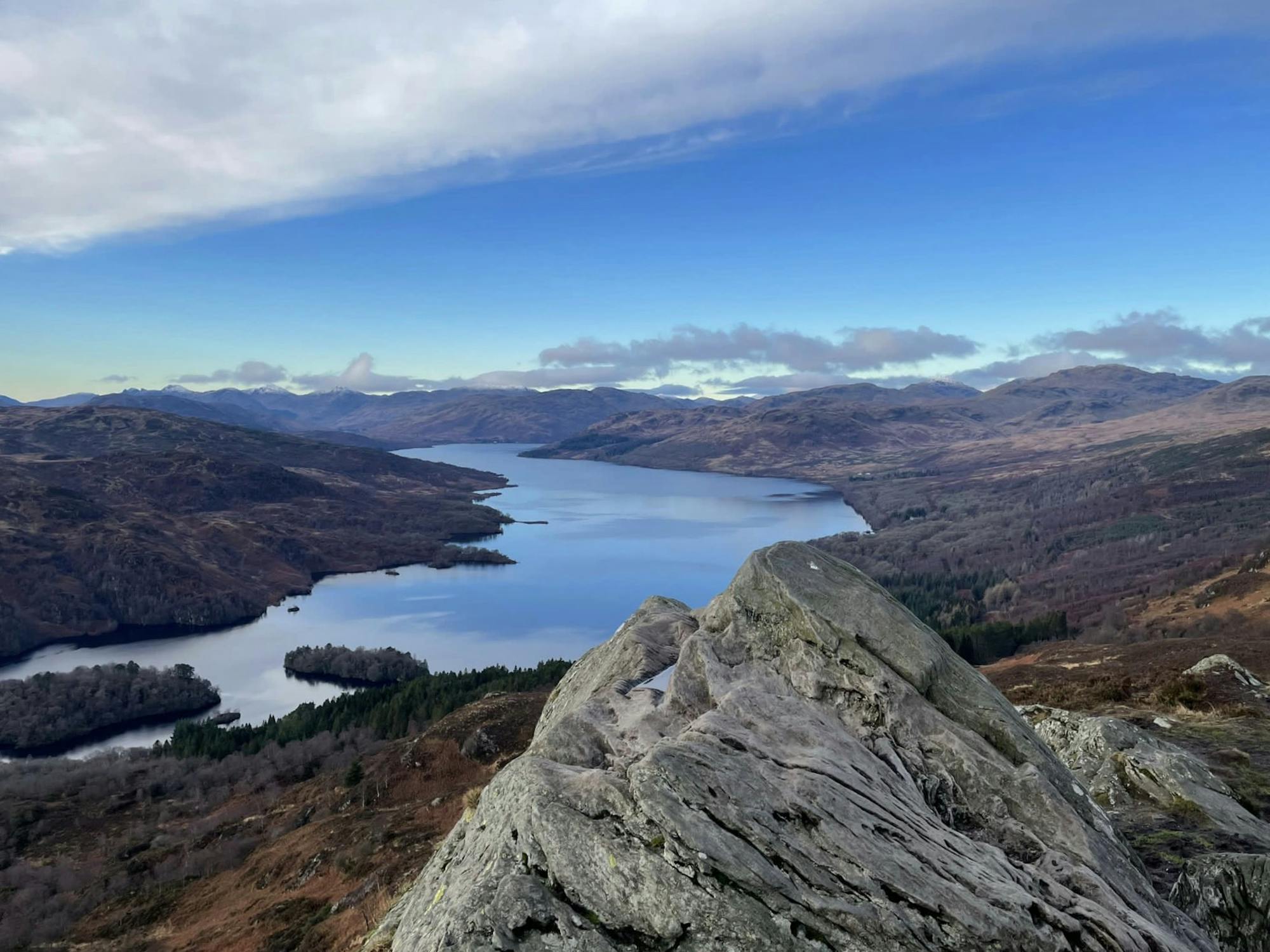
Explore The Loch Lomond and the Trossachs National Park with curated guides of the best hiking trails, and more. With over 27 3D trail maps in FATMAP, you can easily discover and navigate the best trails in The Loch Lomond and the Trossachs National Park.
No matter what your next adventure has in store, you can find a guide on FATMAP to help you plan your next epic trip.
Get a top trail recommendation in The Loch Lomond and the Trossachs National Park from one of our 1 guidebooks, or get inspired by the 27 local adventures uploaded by the FATMAP community. Start exploring now!
Stob Coire Creagach (Binnein an Fhidhleir)
Moderate Hiking

A'Chrois from Succoth (not via Narnain)
Difficult Hiking

Explore the length of Scotland on a bikepacking route between Inverness and Glasgow.
Difficult Mountain Biking
a wee hike up conic hill on a very chilly day
Easy Hiking

Up Tourist and down the best descent
Moderate Trail Running

Ten Miler, all nice and runnable
Moderate Trail Running

Ascend to a panoramic point and enter the Highlands, where lightly traveled tracks lead through varied countryside with woods, moors, hills, and glens.
Difficult Hiking

Reach Callander, nicknamed Gateway to the Highlands, by following grassy tracks and minor roads through forestry and fields, between hills of the Trossachs and past the picturesque Loch Venachar.
Moderate Hiking

Follow Rob Roy Way through forest plantation toward the tourist haven of Aberfoyle, with interesting sights en route like an old iron aqueduct and a glimpse of Ben Lomond in the distance.
Easy Hiking

The beginning of West Highland Way, heading northward from Milngavie to the first of many natural lochs along the trail, among hillier and muddier terrain.
Easy Hiking
Standard Life Mountaineering Club
Difficult Hiking