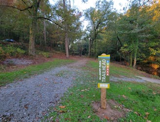
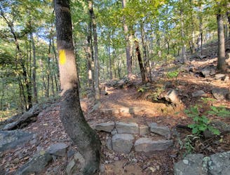
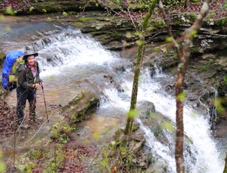
Tanyard Creek Falls
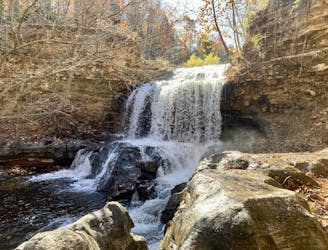
Short hike to a beautiful waterfall.
Easy Hiking
- Distance
- 1.7 km
- Ascent
- 23 m
- Descent
- 23 m

Go hiking in Arkansas with curated guides of the best hikes across the region. With over 107 3D trail maps in FATMAP, you can easily discover and navigate the best trails in Arkansas.
No matter what your next adventure has in store, you can find a guide on FATMAP to help you plan your next epic trip.
Get a top hiking trail recommendation in Arkansas from one of our 17 guidebooks, or get inspired by the 107 local adventures uploaded by the FATMAP community. Start exploring now!
Short hike to a beautiful waterfall.
Easy Hiking
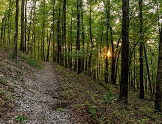
A short and easy walk through the forest near downtown Little Rock.
Easy Hiking
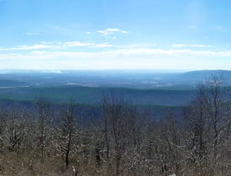
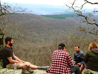
A challenging hike across Rattlesnake Ridge with stunning views of Lake Maumelle.
Difficult Hiking
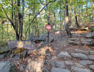
The western and most popular route to summit Pinnacle Mountain.
Difficult Hiking
A moderate hike circumnavigating the base of Pinnacle Mountain.
Moderate Hiking
An epic point-to-point trail in the Ouachita Mountains.
Difficult Hiking
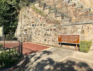
A short hike to one of Hot Spring's must-see overlooks.
Easy Hiking

A popular 2-mile hike on West Mountain with easy access from town.
Moderate Hiking
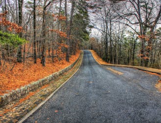
A historic brick walkway designated a National Recreation Trail in 1982.
Easy Hiking
The longest hiking trail in Hot Springs with several popular access points around the park.
Difficult Hiking
The final section of the OHT offers giant boulders, tranquil stream crossings, elk, views into hollows, and “The Narrows.”
Moderate Hiking
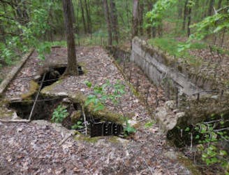
This section contains the interesting remains of another CCC camp, several picturesque stream crossings, the steepest climb on the OHT, and a side trip at the end to a truly unique twin falls.
Moderate Hiking
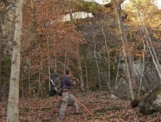
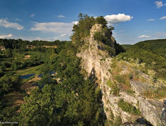
This section routes hikers through one of the most scenic areas in Arkansas and also past a huge natural bridge.
Moderate Hiking
Good drinking water sources, scenic waterfalls, and inviting campsites, plus a tour of an old CCC camp.
Moderate Hiking
At 29.6 miles, this section is one of the longest and least used on the OHT. It also has one of the steepest climbs on the trail; however, it includes plenty of waterfalls and bluff views as payback.
Moderate Hiking
This section routes hikers across the tallest point on the OHT and also through a designated scenic area.
Moderate Hiking