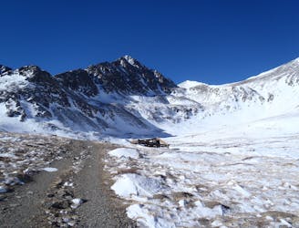
CDT: Copper Mountain (CO-91) to Herman Gulch (I-70)
A 67-mile section of the CDT ideal as a section hike ending with one of Colorado's best 14ers - Grays Peak.
Severe Hiking
- Distance
- 108 km
- Ascent
- 5.1 km
- Descent
- 5 km
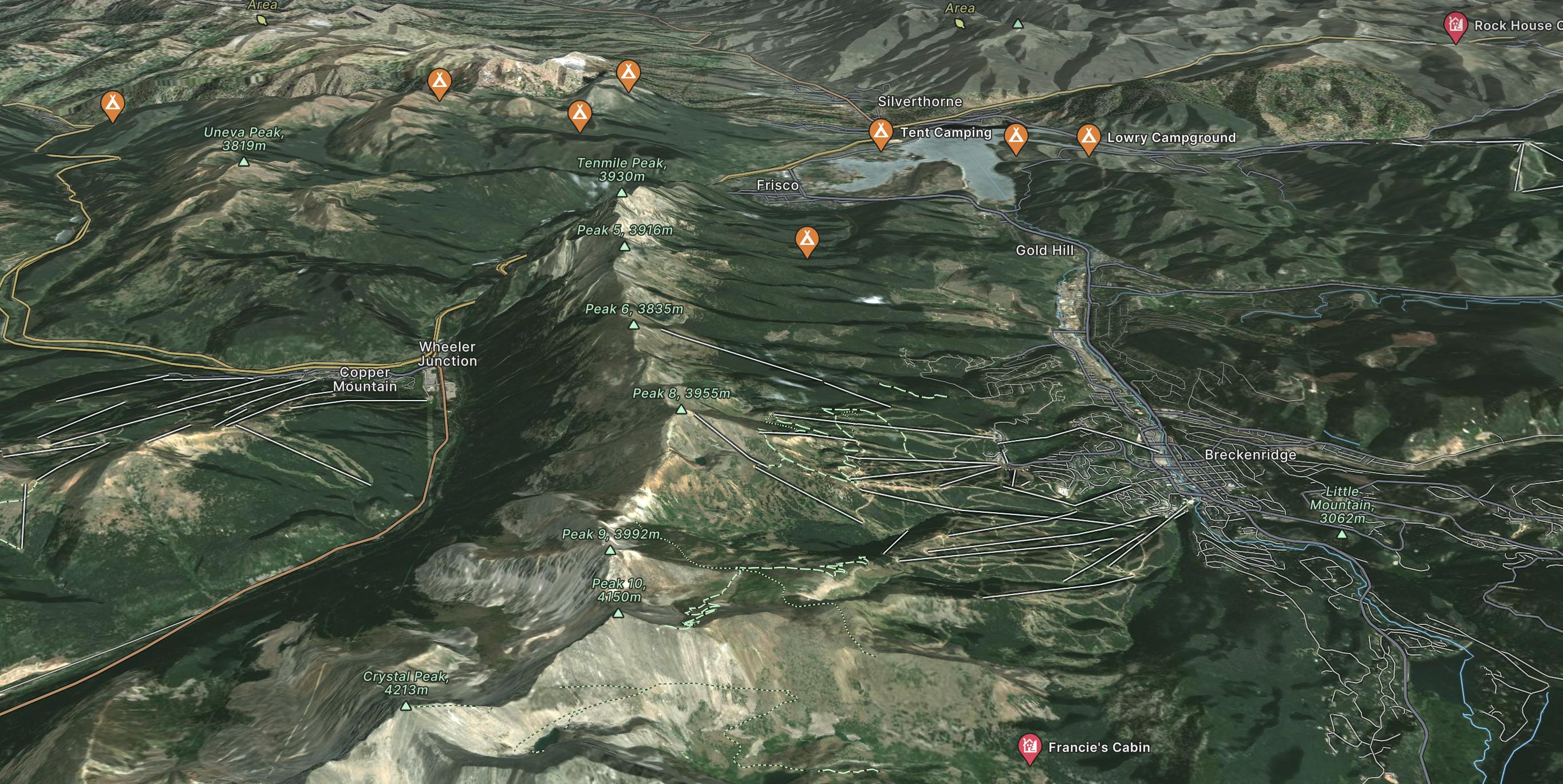
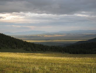
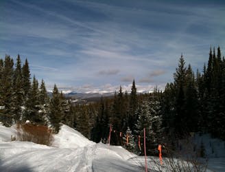
Only 80 miles from Denver, Breckenridge is nestled in Colorado's 10 Mile Range and is one of the most popular ski resorts in the US. Spanning nearly 6 peaks.
Go hiking in Breckenridge with curated guides of the best hikes across the region. With over 156 3D trail maps in FATMAP, you can easily discover and navigate the best trails in Breckenridge.
No matter what your next adventure has in store, you can find a guide on FATMAP to help you plan your next epic trip.
Get a top hiking trail recommendation in Breckenridge from one of our 15 guidebooks, or get inspired by the 156 local adventures uploaded by the FATMAP community. Start exploring now!
A 67-mile section of the CDT ideal as a section hike ending with one of Colorado's best 14ers - Grays Peak.
Severe Hiking
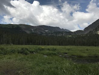
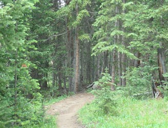
Trail that climbs a out of a forested valley to an alpine basin with lakes and waterfalls, dotted with historic mine sites along the way.
Moderate Hiking
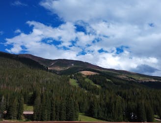
Steep hike on a wide trail to the tallest summit above Breckenridge Ski Resort.
Difficult Hiking
Network of trails through forest and wetlands of a wildlife preserve, nestled between the town and ski resort of Breckenridge.
Easy Hiking

Singletrack connector through the forest between Indiana Creek Road and Boreas Pass Road in Breckenridge.
Easy Hiking
Journey through a forested valley from Frisco to Breckenridge.
Moderate Hiking
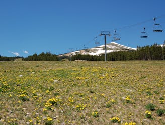
Forest hike that begins from Breckenridge Ski Resort, alongside a trickling stream and beneath brilliant foliage in fall.
Moderate Hiking
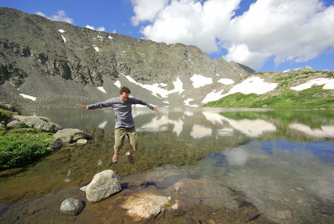
Rugged hike above treeline between two high-elevation lakes near Breckenridge.
Difficult Hiking

16 routes · Hiking
8 routes · Hiking

10 routes · Hiking

40 routes · Hiking