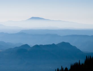
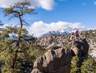
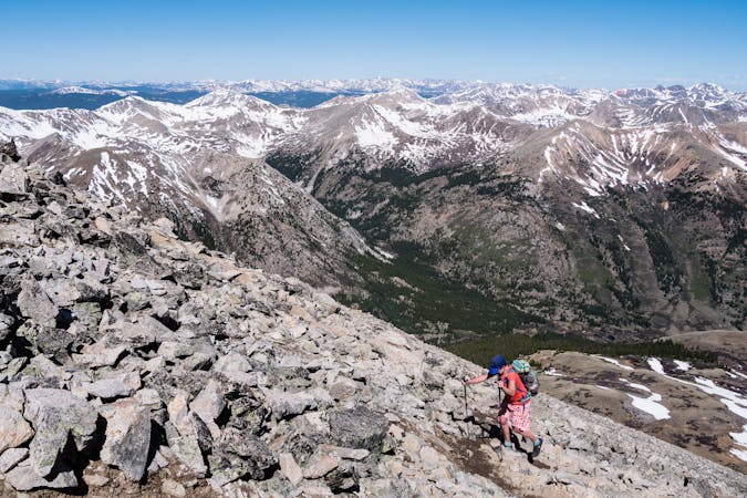
CDT: Monarch Pass (US-50) to Twin Lakes (CO-82)
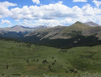
A stunning section of the CDT known for its views of Monumental Peak and passage through the Collegiate Peaks Wilderness.
Difficult Hiking
- Distance
- 131 km
- Ascent
- 4.9 km
- Descent
- 5.5 km
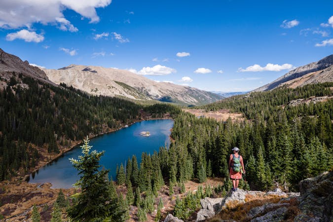
Go hiking in Buena Vista with curated guides of the best hikes across the region. With over 62 3D trail maps in FATMAP, you can easily discover and navigate the best trails in Buena Vista.
No matter what your next adventure has in store, you can find a guide on FATMAP to help you plan your next epic trip.
Get a top hiking trail recommendation in Buena Vista from one of our 18 guidebooks, or get inspired by the 62 local adventures uploaded by the FATMAP community. Start exploring now!

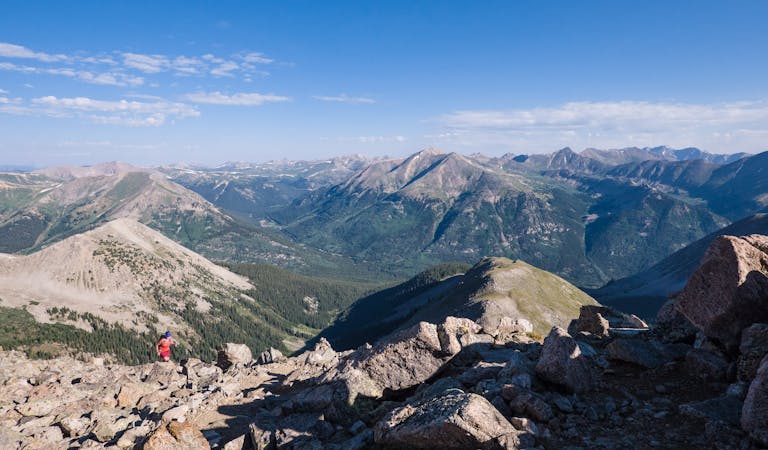
A stunning section of the CDT known for its views of Monumental Peak and passage through the Collegiate Peaks Wilderness.
Difficult Hiking
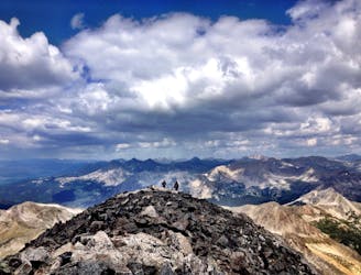
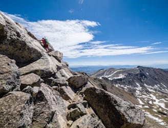
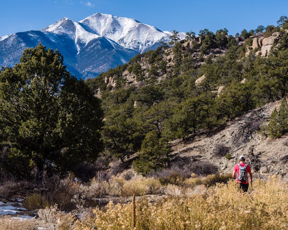
Buena Vista's backyard 14er offers a challenging climb with a rewarding summit view.
Extreme Hiking
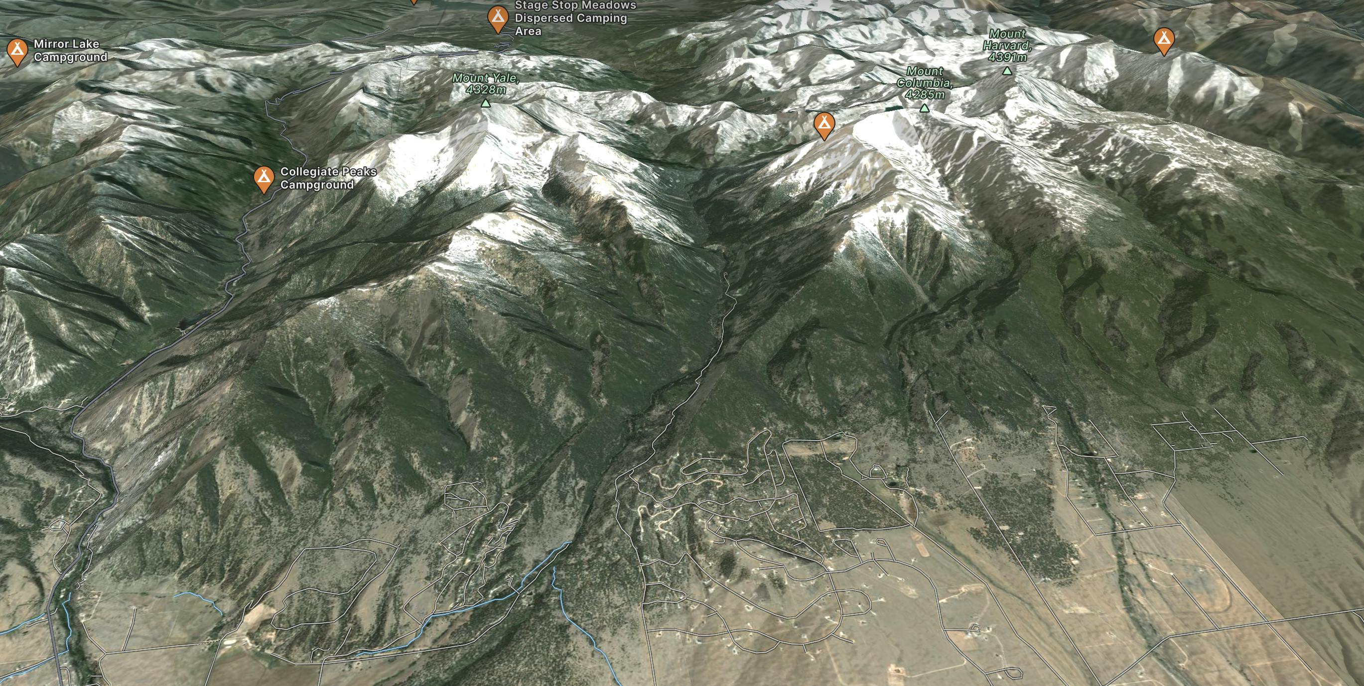
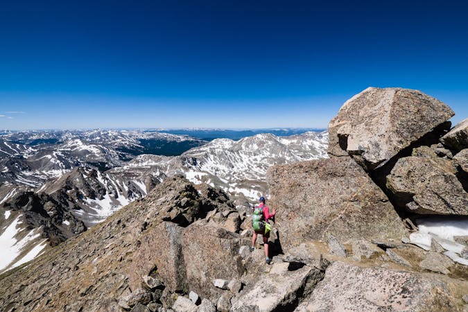
A climb to the summit of the most visibly-impressive 14er in Chaffee County.
Extreme Hiking
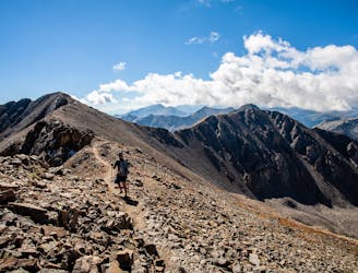
Avoid the crowds and utilize route finding skills by trekking the East Ridge route to summit 14,073' Mt. Columbia.
Extreme Hiking
This 14-mile roundtrip hike to the 14,420' summit of Mt. Harvard, complete with a final scramble up the summit-block, is truly a top-notch 14er experience!
Extreme Hiking
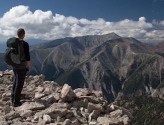
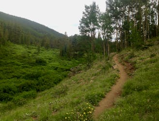
An autumn backpacking excursion in Missouri Gulch is the best way to experience the splendor of 14,067' Missouri Mountain.
Extreme Hiking
Out-and-back hike to the top of the pass on the Tumble Creek Trail.
Difficult Hiking
The best-of-the-best in Browns Canyon National Monument.
Difficult Hiking
10 routes · Alpine Climbing · Hiking

16 routes · Hiking
11 routes · Alpine Climbing · Hiking
13 routes · Alpine Climbing · Hiking
6 routes · Alpine Climbing · Hiking

46 routes · Alpine Climbing · Hiking
5 routes · Alpine Climbing · Hiking

10 routes · Hiking