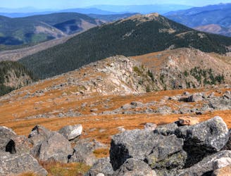
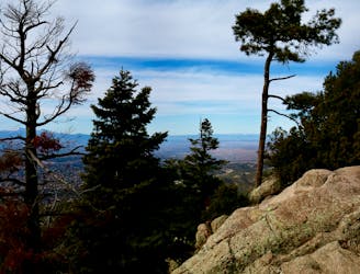
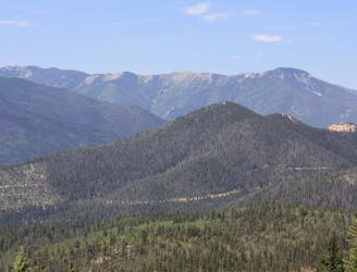
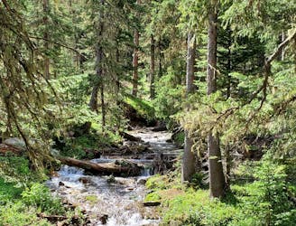
Placitas North Loop
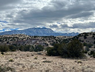
A logical loop hitting the best trails in the little-used Placitas North trail system.
Easy Hiking
- Distance
- 11 km
- Ascent
- 195 m
- Descent
- 195 m
Go hiking in New Mexico with curated guides of the best hikes across the region. With over 208 3D trail maps in FATMAP, you can easily discover and navigate the best trails in New Mexico.
No matter what your next adventure has in store, you can find a guide on FATMAP to help you plan your next epic trip.
Get a top hiking trail recommendation in New Mexico from one of our 28 guidebooks, or get inspired by the 208 local adventures uploaded by the FATMAP community. Start exploring now!
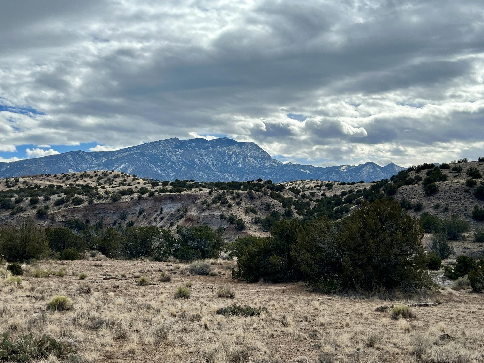
A logical loop hitting the best trails in the little-used Placitas North trail system.
Easy Hiking
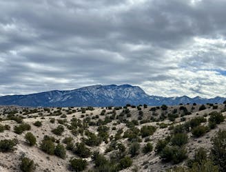
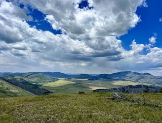
A short but scenic loop in the Placitas North trail system.
Easy Hiking
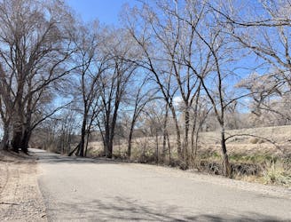
Walk along the beautiful Paseo del Bosque through the heart of Albuquerque.
Easy Hiking
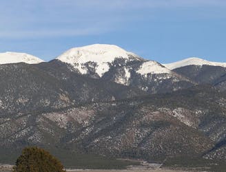
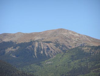
A beautiful climb to the top of New Mexico's 5th-tallest mountain.
Difficult Hiking
The hike up Pajarito Mountain doesn't follow the best trail ever, but the view from the top is truly incredible!
Difficult Hiking
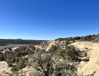
Short hike to a UFO crash site!
Easy Hiking
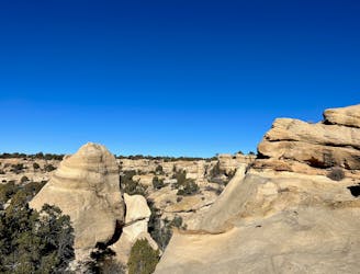
Hike the most scenic of the Alien Run trails.
Easy Hiking
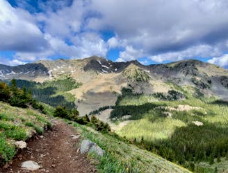
An achievable peak hike from the outskirts of Santa Fe.
Difficult Hiking
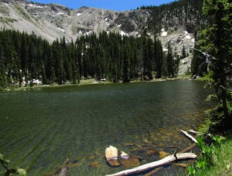
The most popular alpine lake hike in Santa Fe.
Difficult Hiking
Hike to the top of the third-tallest mountain in New Mexico.
Difficult Hiking
A lengthy hike to the second-tallest peak in New Mexico.
Difficult Hiking
A beautiful above-alpine peak in the Sangres.
Difficult Hiking
A non-technical but steep climb to Lobo Peak
Difficult Hiking
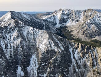
The most direct route to New Mexico's 13,161-foot high point.
Severe Hiking
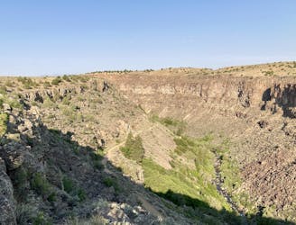
Enjoy stunning views of the Rio Grande Gorge!
Easy Hiking
The most popular trail in Taos Ski Valley—but for good reason!
Moderate Hiking