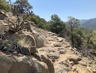
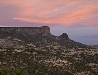
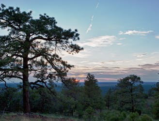
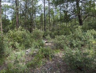
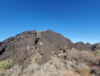
Gavilan Trail

Steep climb to beautiful views of the Sangres.
Difficult Hiking
- Distance
- 7.7 km
- Ascent
- 690 m
- Descent
- 690 m

Go hiking in New Mexico with curated guides of the best hikes across the region. With over 207 3D trail maps in FATMAP, you can easily discover and navigate the best trails in New Mexico.
No matter what your next adventure has in store, you can find a guide on FATMAP to help you plan your next epic trip.
Get a top hiking trail recommendation in New Mexico from one of our 28 guidebooks, or get inspired by the 207 local adventures uploaded by the FATMAP community. Start exploring now!
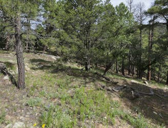
Steep climb to beautiful views of the Sangres.
Difficult Hiking
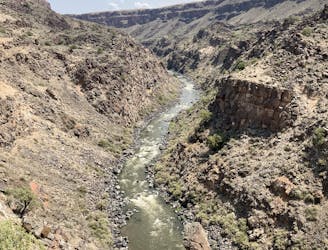
An easy hike to stunning views of the Rio Grande.
Moderate Hiking
A scenic, accessible peak climb close to Taos
Difficult Hiking
The northernmost section of the CDT in New Mexico as it crosses over some of the state's highest peaks.
Difficult Hiking
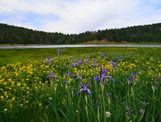
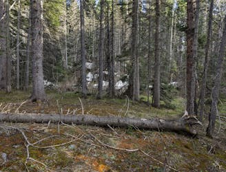
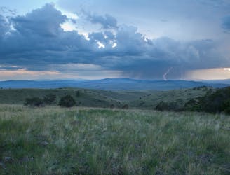
Two long wilderness traverses through vast meadows, deep canyons, and stands of spruce and pine.
Difficult Hiking
The long, 100+ mile stretch through remote wilderness between Grants and Cuba.
Difficult Hiking
A long road walk followed by a tour around the stunning El Malpais National Monument.
Moderate Hiking

A quiet section of the CDT ending with a long road walk into the world-famous Pie Town.
Moderate Hiking
A long westward traverse defined by grassy canyonlands and high mountain peaks.
Difficult Hiking
Hike along the rim of a canyon, the transition into the rugged Aldo Leopold Wilderness, some of New Mexico's wildest and most rugged mountains.
Difficult Hiking
A shorter section of the CDT connecting the Gateway Community of Silver City to Sapillo Campground, via the historic Pinos Altos Mountains.
Difficult Hiking
Hike this section of the CDT as it transitions from the barren Chihuahuan Desert, into the Big Burro Mountains.
Difficult Hiking

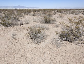
A barren wasteland of solitude as you round out the southernmost section of the CDT.
Moderate Hiking
The southernmost section of the CDT as it explores the Chihuahuan Desert and crosses the Big Hatchet Mountains.
Moderate Hiking
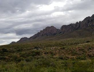
A day hike around Dripping Springs Natural Area with impressive views of the Organ Mountains to the east.
Moderate Hiking
An interpretive boardwalk hike through an field of ancient lava flow.
Easy Hiking