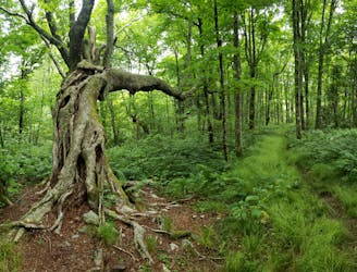
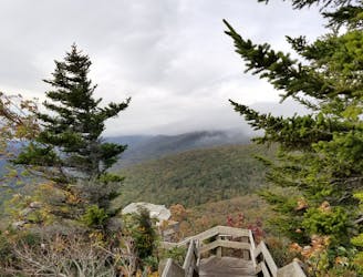
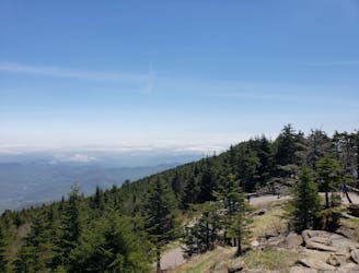
Turkey Pen Loop
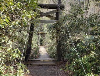
An hike in Turkey Pen pairing an old roadbed to a technical ridgetop traverse.
Difficult Hiking
- Distance
- 10 km
- Ascent
- 421 m
- Descent
- 421 m

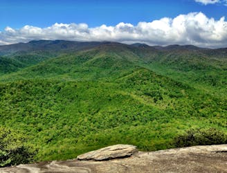
Go hiking in North Carolina with curated guides of the best hikes across the region. With over 233 3D trail maps in FATMAP, you can easily discover and navigate the best trails in North Carolina.
No matter what your next adventure has in store, you can find a guide on FATMAP to help you plan your next epic trip.
Get a top hiking trail recommendation in North Carolina from one of our 38 guidebooks, or get inspired by the 233 local adventures uploaded by the FATMAP community. Start exploring now!
An hike in Turkey Pen pairing an old roadbed to a technical ridgetop traverse.
Difficult Hiking
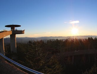
Paved path to an observation tower at the highest point in Great Smoky Mountains National Park.
Easy Hiking
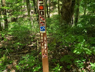
A challenging hike through dense tunnels of rhododendron.
Difficult Hiking
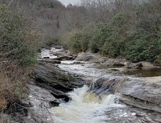
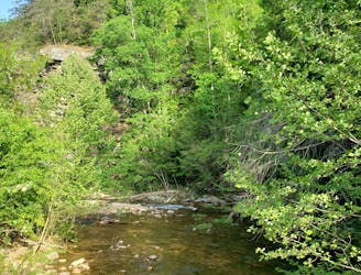
A classic waterfall hike along the Blue Ridge Parkway.
Moderate Hiking

An easy family-friendly hike in Bent Creek.
Moderate Hiking
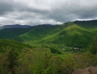
An epic ridgetop traverse connecting the Blue Ridge Parkway to NC-197.
Difficult Hiking
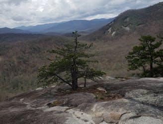
Hike to one of the most impressive viewpoints in Pisgah National Forest.
Difficult Hiking
A classic hike from the Smokemont Campground.
Moderate Hiking
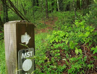
The MST as it passes through North Carolina's high country.
Moderate Hiking
The Mountains to Sea Trail as it passes Grandfather Mountain.
Difficult Hiking
A classic route from the fish hatchery with phenomenal views from John Rock.
Moderate Hiking
A scenic, yet demanding, loop highlighting some of the best views in Montreat.
Difficult Hiking
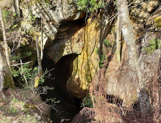
A wild loop with waterfalls, sweeping views, and a trek past an abandoned mica mine.
Difficult Hiking
An incredibly challenging, yet rewarding, approach to Mount Mitchell.
Severe Hiking
A steep, remote loop not far from Hot Springs with plenty of views and river access.
Difficult Hiking
A gem of a hike showcasing some of the best features in Pisgah National Forest.
Difficult Hiking