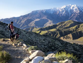
Legendary thru hike of America’s West Coast states, from the southern deserts at the Mexico border, through some of the country’s highest mountains, to the Northwest forests and the Canadian border.
Difficult Hiking
- Distance
- 4133 km
- Ascent
- 57 km
- Descent
- 56 km
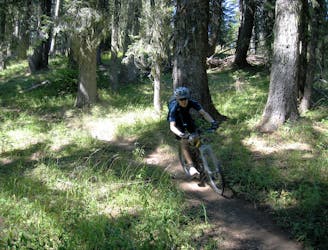
Known as the "crown jewel" of Oakridge, the Alpine Trail easily ranks among the best shuttle routes in the world.
Difficult Mountain Biking
- Distance
- 26 km
- Ascent
- 769 m
- Descent
- 1.6 km
One of the most famous trails in Oregon, the singletrack is entertaining and the views are second to none!
Difficult Mountain Biking
- Distance
- 37 km
- Ascent
- 380 m
- Descent
- 888 m

The East Catchline will take you back to the East side with an uphill walk.
Moderate Freeride Skiing
- Distance
- 5.4 km
- Ascent
- 87 m
- Descent
- 444 m
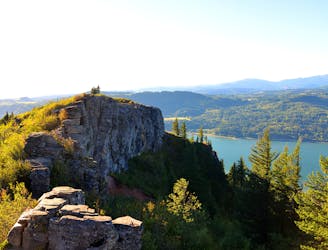
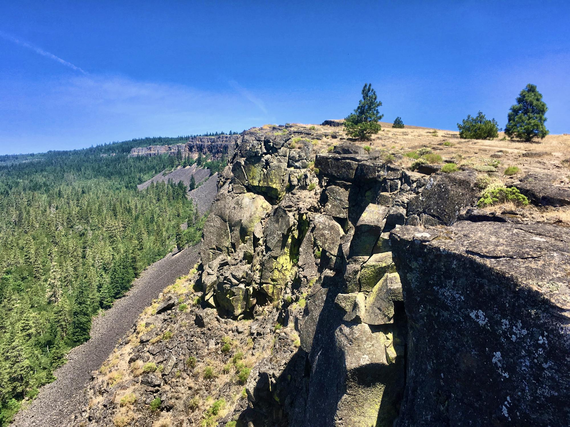
A long but rewarding hike high above a famous river
Difficult Hiking
- Distance
- 9.9 km
- Ascent
- 650 m
- Descent
- 667 m

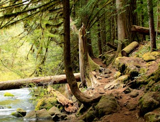
An easy trail "highway" through the woods
Easy Trail Running
- Distance
- 4.6 km
- Ascent
- 92 m
- Descent
- 37 m

Mt. Jefferson - West Rib to North Face approach to the summit pinnacle
Severe Ski Touring
- Distance
- 9.3 km
- Ascent
- 2.3 km
- Descent
- 47 m
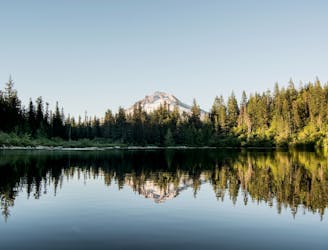
Hike to a scenic lake providing a beautiful reflection of Mount Hood.
Moderate Hiking
- Distance
- 6.7 km
- Ascent
- 219 m
- Descent
- 219 m

Multi-day whitewater trip of Class II-III difficulty.
Moderate Rafting
- Distance
- 74 km
- Ascent
- 41 m
- Descent
- 326 m

Grande Ronde river segment from Ukiah Hilgard to Riverside Park
Difficult Kayaking
- Distance
- 17 km
- Ascent
- 4 m
- Descent
- 87 m

Swiftwater paddling on the Wallowa River
Moderate Kayaking
- Distance
- 17 km
- Ascent
- 4 m
- Descent
- 87 m

A decently long day trip on Broken Top
Difficult Ski Touring
- Distance
- 28 km
- Ascent
- 1.2 km
- Descent
- 1.2 km

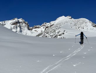
Nice easy backcountry excursion
Moderate Ski Touring
- Distance
- 5.2 km
- Ascent
- 514 m
- Descent
- 514 m
Fun COAC obs. Skied Smiley then Tower Couloir, with snomo access to boundary
Difficult Ski Touring
- Distance
- 50 km
- Ascent
- 1.8 km
- Descent
- 1.8 km

Fun and easy tree skiing across Highway 84 from Mt. Hood Meadows
Easy Ski Touring
- Distance
- 2.6 km
- Ascent
- 62 m
- Descent
- 178 m
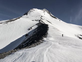
A steep and sustained line on the east face of Mt. Hood
Difficult Ski Touring
- Distance
- 5.2 km
- Ascent
- 67 m
- Descent
- 1.7 km