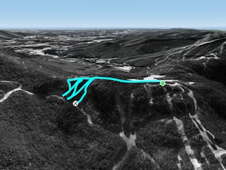
Hershey Highway

A short hike/sidestep some wide side country glades.
Difficult Freeride Skiing
- Distance
- 878 m
- Ascent
- 18 m
- Descent
- 84 m

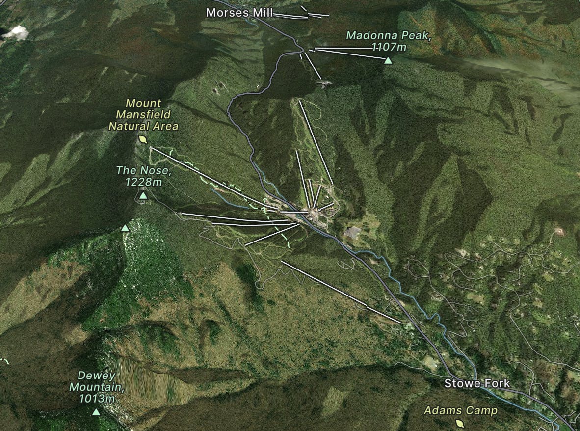
Stowe, Vermont, USA
Explore Stowe with curated guides of the best hiking trails, ski routes, and more. With over 78 3D trail maps in FATMAP, you can easily discover and navigate the best trails in Stowe.
No matter what your next adventure has in store, you can find a guide on FATMAP to help you plan your next epic trip.
Get a top trail recommendation in Stowe from one of our 5 guidebooks, or get inspired by the 78 local adventures uploaded by the FATMAP community. Start exploring now!


A short hike/sidestep some wide side country glades.
Difficult Freeride Skiing

A tight glade skiers right of Smugglers Alley.
Moderate Freeride Skiing

One of the hardest unmarked glades on the mountain.
Severe Freeride Skiing

A tight evergreen glade for expert skiers.
Moderate Freeride Skiing

A short but steep face that terminates into tight trees.
Severe Freeride Skiing

A short little stash off Cross Cut #2
Moderate Freeride Skiing

An expert glade with an interesting history.
Moderate Freeride Skiing

A long traverse, under a massive icefall leads to some fun low angle glades
Moderate Freeride Skiing

Steep chutes with trees and cliffs, accessed by a sidestepping traverse.
Difficult Freeride Skiing

While it may not have any ledges, it does have plenty of room for turns.
Moderate Freeride Skiing

A popular patch of woods that are always fun to ski.
Moderate Freeride Skiing

A fun little chute between National and Liftline.
Moderate Freeride Skiing

A massive backcountry glade with a number of drop ins
Difficult Freeride Skiing

A low angle trail used to cross from Spruce Peak to Sterling Peak and to access the Back Bowls.
Easy Freeride Skiing

A favorite backcountry zone among locals.
Moderate Freeride Skiing

Popular woods between Upper National/Liftline and Starr
Difficult Freeride Skiing