Easy Mile Uphill

A basic route for uphill access during open hours at Stowe.
Easy Resort Ski Touring
- Distance
- 2 km
- Ascent
- 271 m
- Descent
- 0 m
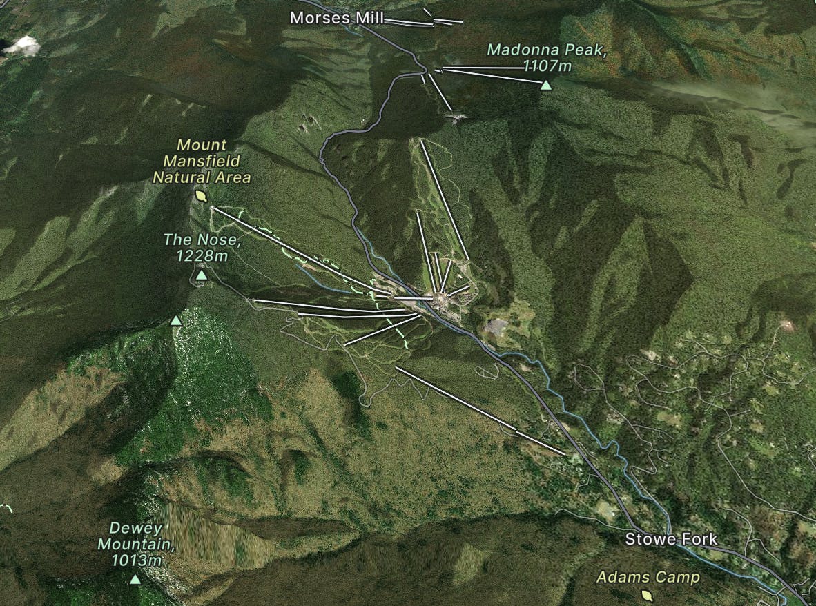
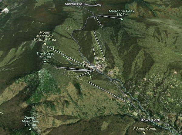
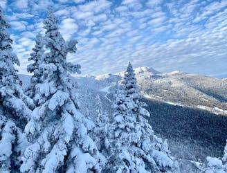
Stowe, Vermont, USA
Explore Stowe with curated guides of the best hiking trails, ski routes, and more. With over 74 3D trail maps in FATMAP, you can easily discover and navigate the best trails in Stowe.
No matter what your next adventure has in store, you can find a guide on FATMAP to help you plan your next epic trip.
Get a top trail recommendation in Stowe from one of our 5 guidebooks, or get inspired by the 74 local adventures uploaded by the FATMAP community. Start exploring now!
A basic route for uphill access during open hours at Stowe.
Easy Resort Ski Touring
The route for morning uphill laps at Stowe.
Difficult Resort Ski Touring
Evening uphill access to the top of Stowe Resort.
Moderate Resort Ski Touring
Ski tour on the historic Toll Road going up Mount Mansfield.
Easy Resort Ski Touring

Forest hike among the ski runs that finishes near a mountainside café, and provides access to higher trails on Mount Mansfield.
Moderate Hiking
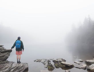
Popular hike to a large pond near the top of a mountain.
Moderate Hiking
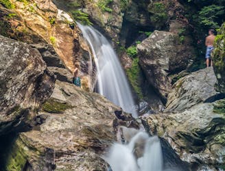
A 40-foot waterfall and summer swimming holes in a mountain stream.
Easy Hiking

Walk to a historic cabin in the woods beside a river.
Easy Hiking

A less exposed and less steep alternative to the Long Trail over the summit of Mount Mansfield.
Severe Hiking
Hike Mount Mansfield bottom to top, starting from just outside Stowe Mountain Ski Resort.
Severe Hiking
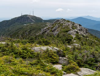
The easiest route to the summit of Mount Mansfield.
Moderate Hiking
Short but strenuous route from the top of the gondola to the summit of Mount Mansfield.
Extreme Hiking
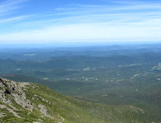
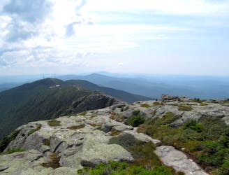
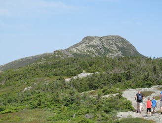
The trek over Mount Mansfield, Vermont's highest peak.
Difficult Hiking

The inbounds continuation of Hershey Highway.
Moderate Freeride Skiing

A handful of turns through unmarked woods.
Moderate Freeride Skiing

Short little stash off Lower Chilcoot.
Moderate Freeride Skiing