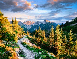
Oyster Dome: Out-and-Back
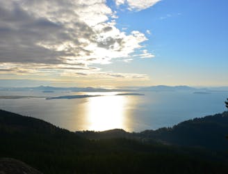
Climb to a stunning view of Puget Sound.
Severe Hiking
- Distance
- 9.6 km
- Ascent
- 588 m
- Descent
- 588 m
Go hiking in Washington with curated guides of the best hikes across the region. With over 498 3D trail maps in FATMAP, you can easily discover and navigate the best trails in Washington.
No matter what your next adventure has in store, you can find a guide on FATMAP to help you plan your next epic trip.
Get a top hiking trail recommendation in Washington from one of our 36 guidebooks, or get inspired by the 498 local adventures uploaded by the FATMAP community. Start exploring now!
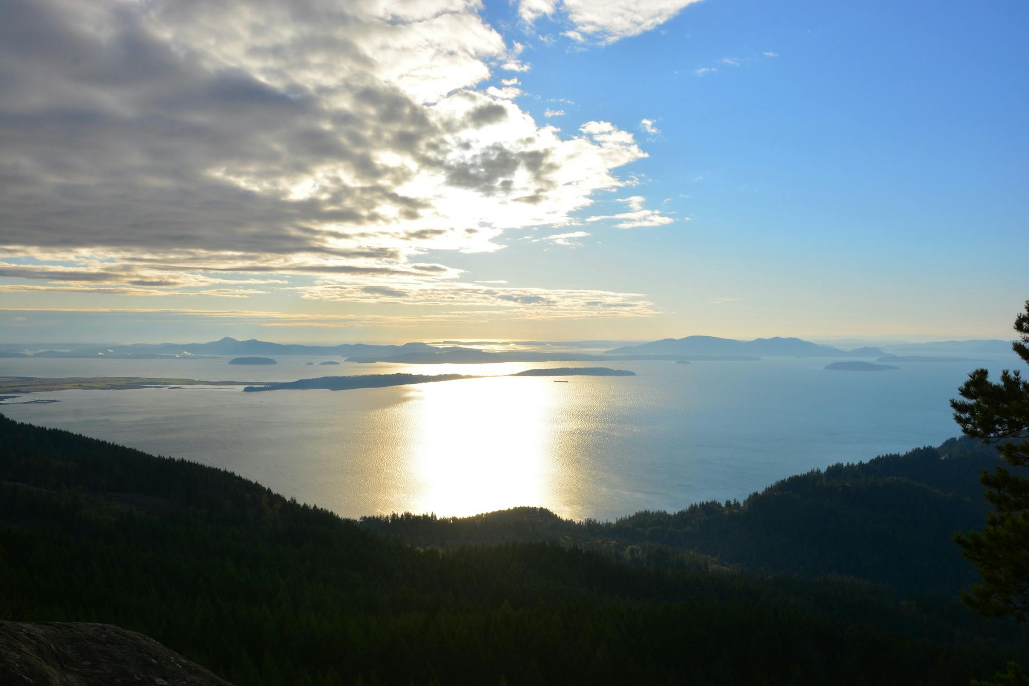
Climb to a stunning view of Puget Sound.
Severe Hiking
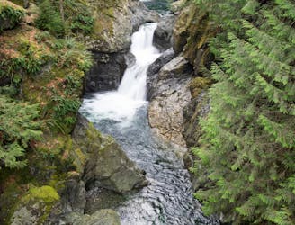
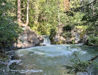
Hike to two incredible waterfalls in a narrow gorge.
Moderate Hiking
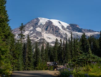
Hike to beautiful views from a historic fire tower in Mount Rainier National Park
Moderate Hiking
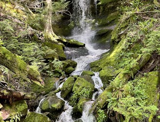
Hike to one of Bellingham's little-known waterfalls.
Easy Hiking

Enjoy two different waterfalls along Austin Creek.
Easy Hiking
Whatcom Falls is by far the easiest waterfall to access in Bellingham, yet this impressive two-part cascade is well-worth the visit!
Easy Hiking
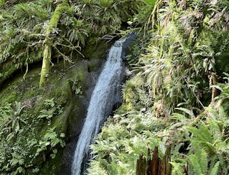
Discover beautiful Chuckanut Falls, just outside of downtown Bellingham.
Moderate Hiking
A technically easy but aerobically difficult climb to an elevated overlook of Lake Whatcom.
Moderate Hiking
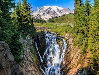
Reach a stunning view of Myrtle Falls framed by Mount Rainier.
Easy Hiking
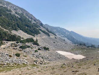
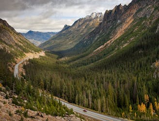
An easy paved hike to a stunning overlook of a glacier-carved valley.
Easy Hiking
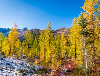
Miles 2622-2652.6 of the northbound PCT: The homestretch to Canada, along the Cascade Crest among golden larches and victorious views.
Moderate Hiking
Miles 2591.1-2622 of the northbound PCT: The last of the big elevation swings in the North Cascades, featuring high ridges with larch trees and a sheltered valley with abundant creeks.
Moderate Hiking
Miles 2571.9-2591.1 of the northbound PCT: Through a lush river valley in North Cascades National Park.
Easy Hiking
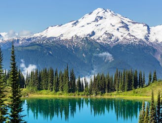
Miles 2464.1-2571.9 of the northbound PCT: A long expanse through the Glacier Peak Wilderness, centered on Washington's most isolated stratovolcano.
Difficult Hiking
Miles 2393.2-2464.1 of the northbound PCT: Stunning views along a series of big ups and downs, between high mountain lakes and lush valley forest in the Alpine Lakes Wilderness.
Difficult Hiking
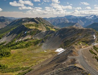
Leaving Mount Rainier on a lofty mountain crest, then traveling miles of forest mosaic on a long series of hills to reach Snoqualmie Pass.
Moderate Hiking