Please note: Until further notice the brine pipeline between Bad Ischl and Hallstatt is closed! However, it is possible to walk along the Engleitenstraße and the sidewalk next to the main road to Bad Goisern/Steeg. Afterwards you can walk along the Ostuferwanderweg to Hallstatt.Length: 10 km / Walking time: 2 h 30 min
Moderate Hiking
- Distance
- 7 km
- Ascent
- 112 m
- Descent
- 86 m
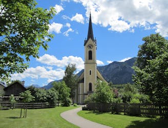
A leisurely walk through the centre of Bad Goisern on the theme "The beginnings of the labour movement". On this short hike you will pass all important historical buildings of the climatic health resort Bad Goisern at the Hallstättersee. Along the way there are also
Easy Hiking
- Distance
- 1.8 km
- Ascent
- 8 m
- Descent
- 8 m
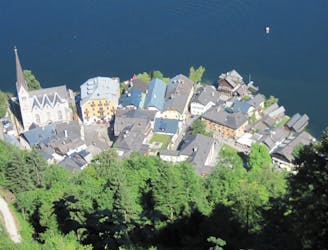
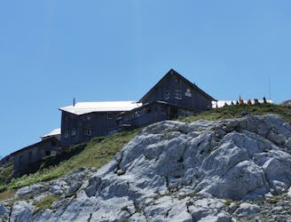
Guided tour: Simonyhütte - Wiesberghaus - Tiergartenhütte - Echerntal - Hallstatt
Difficult Hiking
- Distance
- 14 km
- Ascent
- 97 m
- Descent
- 1.8 km

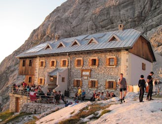
Guided route: Adamekhütte - Snow hole - Hoßwandscharte - High trough - Simonyhütteh
Extreme Hiking
- Distance
- 7.1 km
- Ascent
- 611 m
- Descent
- 601 m
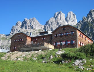
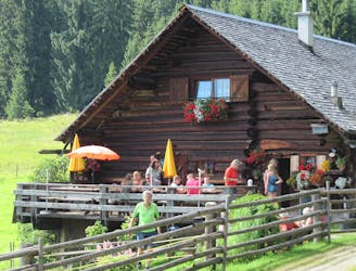
Guided tour: Hofpürglhütte - Reißgangsattel - Hochkesseleck - Adamekhütteh
Extreme Hiking
- Distance
- 8.1 km
- Ascent
- 904 m
- Descent
- 418 m
Guided route: Gablonzer Hütte - Stuhlalm - Hofpürglhütte via the "Austriaweg "h
Difficult Hiking
- Distance
- 10 km
- Ascent
- 601 m
- Descent
- 408 m
Guided route: Gosau-Hintertal - Vorderer Gosausee - Hinterer Gosausee - Adamekhütte h
Difficult Hiking
- Distance
- 14 km
- Ascent
- 1.5 km
- Descent
- 120 m
Guided tour: Hallstatt - by boat to the railway station - Obertraun - Koppenbrüllerhöhle - Koppenschlucht - Bad Ausseeh
Easy Hiking
- Distance
- 18 km
- Ascent
- 498 m
- Descent
- 357 m
Trail path: Gosau-Hintertal - Löckernmoos - Plankensteinalm - Passage - Salzberg - Hallstatth
Difficult Hiking
- Distance
- 15 km
- Ascent
- 1 km
- Descent
- 1.3 km
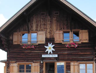
Guided tour: Goiserer Hütte - Gosau - Gablonzer Hütte - Vord. Gosausee - Gosau Hintertal
Difficult Hiking
- Distance
- 22 km
- Ascent
- 906 m
- Descent
- 1.7 km
Travel path: Bad Ischl - valley station of the Katrin cable car - Katrinalm - Weißenbach bei Goisern - Hochmuth - Goiserer Hütteh
Difficult Hiking
- Distance
- 20 km
- Ascent
- 2.1 km
- Descent
- 1 km
Heilbronn circular hiking trail at Krippenstein
Easy Hiking
- Distance
- 7.9 km
- Ascent
- 116 m
- Descent
- 404 m
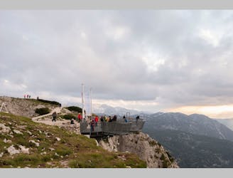
Hike to the 5fingers
Easy Hiking
- Distance
- 1.1 km
- Ascent
- 18 m
- Descent
- 60 m
You have the choice to either take the Salzberg funicular to the Salzberg, or to hike up in serpentines high above Hallstatt through a forest of banns.
Difficult Hiking
- Distance
- 6.3 km
- Ascent
- 1.3 km
- Descent
- 16 m
A natural spectacle for the whole family.
Easy Hiking
- Distance
- 2.2 km
- Ascent
- 79 m
- Descent
- 78 m
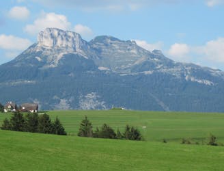
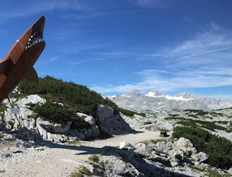
High alpine and scenically unique hike into the glacier forefield under the Hohe Dachstein.
Difficult Hiking
- Distance
- 13 km
- Ascent
- 708 m
- Descent
- 658 m