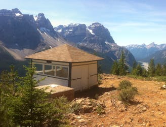
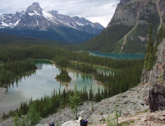
Mount Schaffer
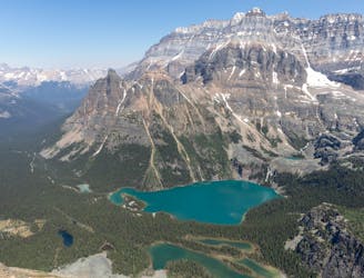
One of the more challenging routes at Lake O'Hara with no shortage of amazing views.
Extreme Hiking
- Distance
- 9.4 km
- Ascent
- 729 m
- Descent
- 729 m
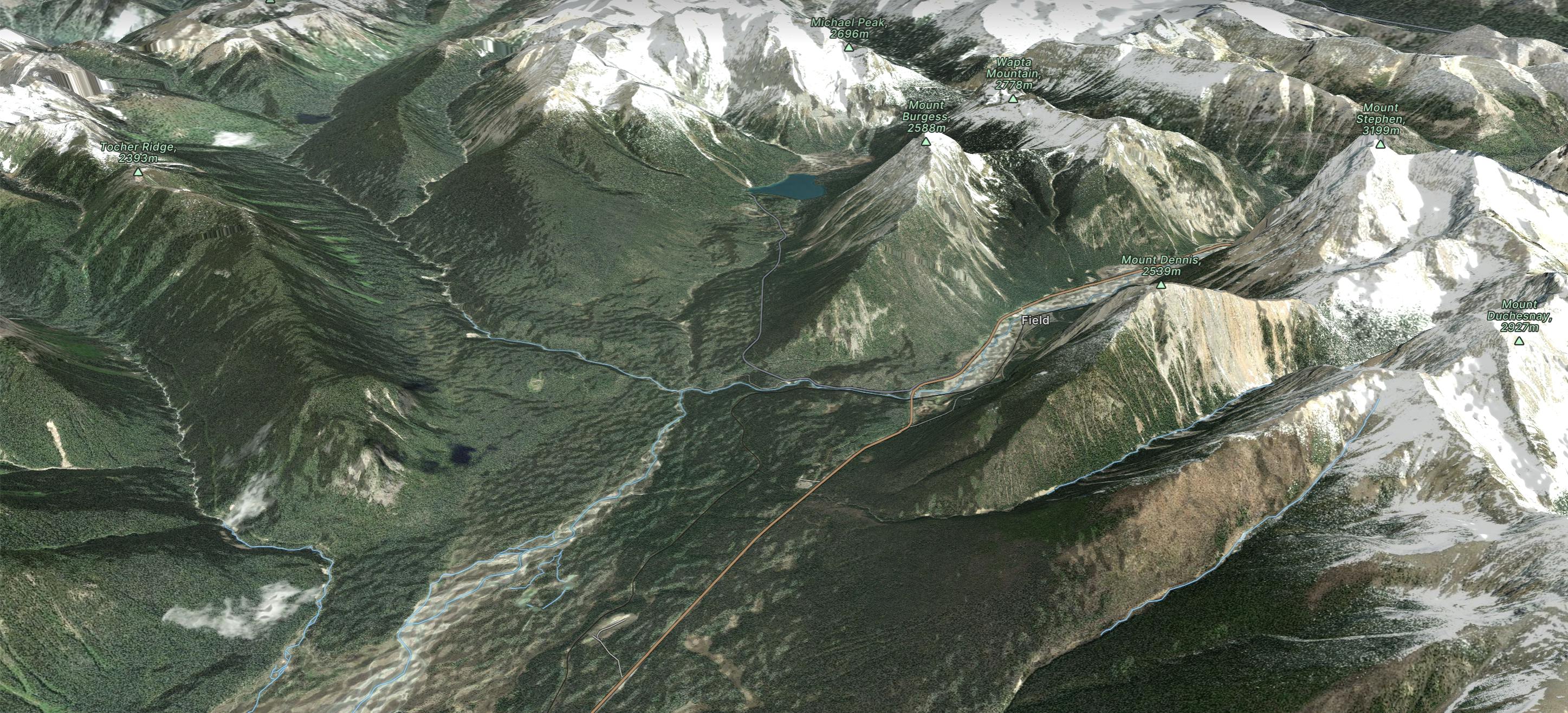
Go hiking in Yoho National Park with curated guides of the best hikes across the region. With over 34 3D trail maps in FATMAP, you can easily discover and navigate the best trails in Yoho National Park.
No matter what your next adventure has in store, you can find a guide on FATMAP to help you plan your next epic trip.
Get a top hiking trail recommendation in Yoho National Park from one of our 9 guidebooks, or get inspired by the 34 local adventures uploaded by the FATMAP community. Start exploring now!
One of the more challenging routes at Lake O'Hara with no shortage of amazing views.
Extreme Hiking
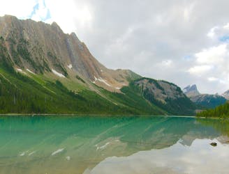
Forest hike to a lake in a valley surrounded by peaks and streaked by avalanche paths.
Moderate Hiking
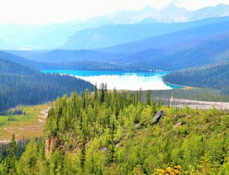
A mountainside view of surrounding peaks and two expansive river valleys.
Difficult Hiking
Hike over Yoho Pass to link some of the park’s most iconic sights in half a day.
Difficult Hiking
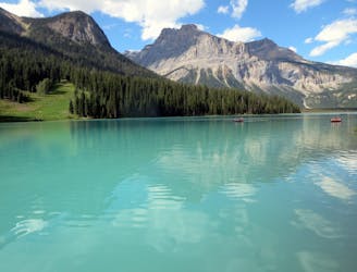
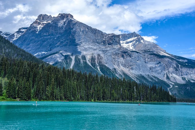
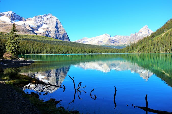
A peaceful stroll around the shore of a stunning alpine lake.
Easy Hiking
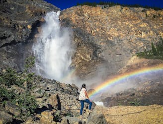
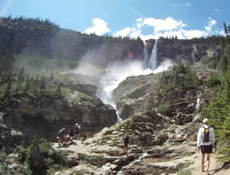
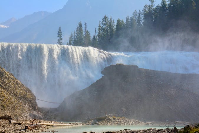
Short walk to a better view of Yoho's tallest waterfall.
Easy Hiking
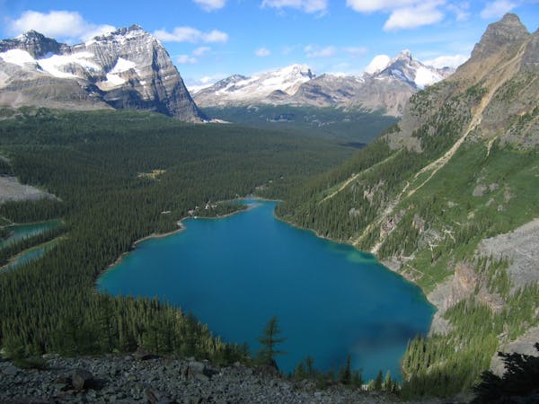
The most direct route to the single best viewpoint over Lake O'Hara.
Difficult Hiking
Yoho’s best trek for waterfall viewing, making a challenging one-day or overnight circuit.
Difficult Hiking
4 routes · Hiking
4 routes · Hiking
7 routes · Hiking
5 routes · Hiking
4 routes · Hiking