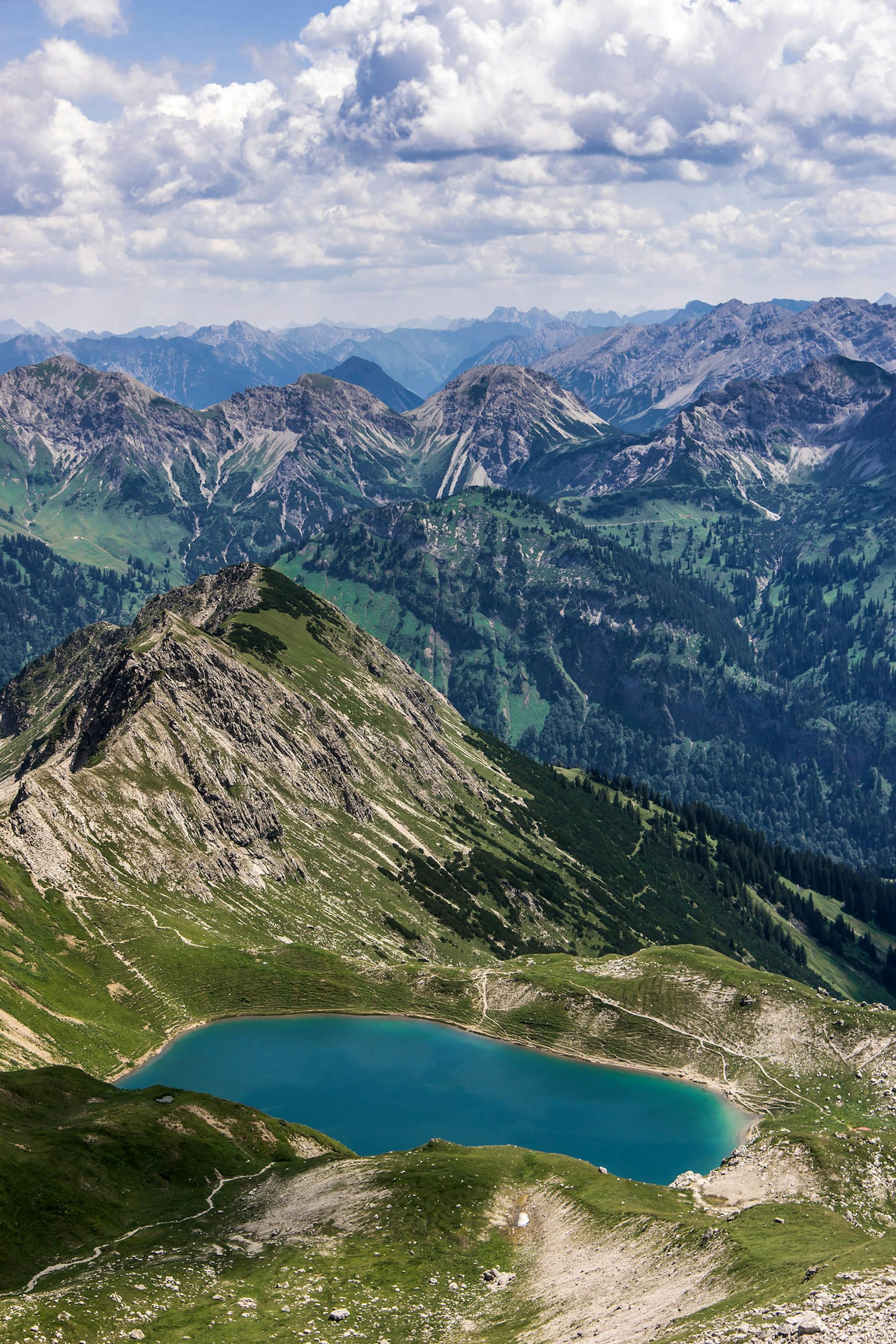
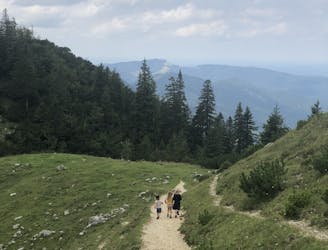
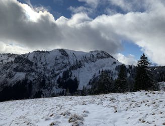
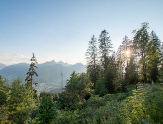
Engeratsgundsee
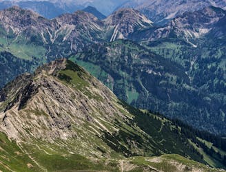
An easygoing hike with wonderful views of the Allgäu mountain range.
Moderate Hiking
- Distance
- 9.6 km
- Ascent
- 251 m
- Descent
- 1.1 km
Go hiking in Bayern with curated guides of the best hikes across the region. With over 76 3D trail maps in FATMAP, you can easily discover and navigate the best trails in Bayern.
No matter what your next adventure has in store, you can find a guide on FATMAP to help you plan your next epic trip.
Get a top hiking trail recommendation in Bayern from one of our 7 guidebooks, or get inspired by the 76 local adventures uploaded by the FATMAP community. Start exploring now!
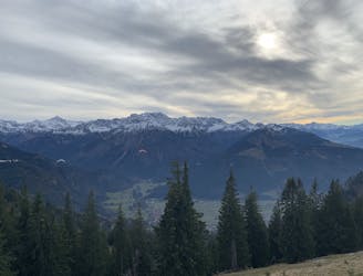
An easygoing hike with wonderful views of the Allgäu mountain range.
Moderate Hiking
Durch das Tal des Schwarzen Regen vorbei an Teisnach - Gumpenried - Schnitzmühle bis nach Viechtach
Easy Hiking
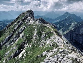
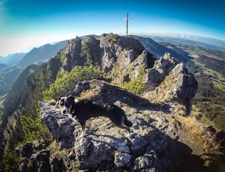
The ideal and most scenic route to climb the fascinating Hochplatte in the Ammergauer Alpen.
Moderate Hiking
Beautiful Alm with cows, chicken, and even a lama
Moderate Hiking
Parkplatz Renksteg to Bergbauerndorf Gerstruben
Easy Hiking
From Alpenhaus Toni to Reuterwanne Summit
Easy Hiking
South face hike up to the top of Grünten
Easy Hiking
A variation on a classic round tour in the Allgauer Alps
Easy Hiking
Round tour starting at Oberjoch and taking in the two speaks of Großer Hirschberg and Ornach
Easy Hiking
Hike up to the Austrian Germany border!
Easy Hiking
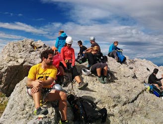
Full round tour of the Watzmann Ridge
Moderate Hiking
Steep hike up to Säuling summit from Pflach
Easy Hiking