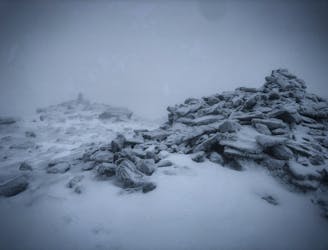
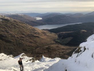
The Brack (787m)
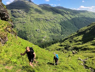
Simple and effective, without sacrificing the view!
Difficult Hiking
- Distance
- 3.7 km
- Ascent
- 755 m
- Descent
- 6 m

A dozen of the finest walks in one of Scotland's most beautiful regions
Hiking Moderate, Difficult
Also in Stirling, United Kingdom
The Loch Lomond and Trossachs National Park – otherwise known as ‘Pàirc Nàiseanta Loch Laomainn is nan Tròisichean’ in ancient Scottish Gaelic – is one of only two national parks in Scotland. This 1,865km2 area is steeped in history, and culture, and is filled with mountain ranges that attract around 2.9 million visitors every year to admire this incredible landscape. Its centrepiece – Loch Lomond, provides a home to an abundant array of wildlife with its steep shores covered in oak woodlands that rise majestically to meet the stunning terrain of the Southern Highlands. This mixture of water, woodlands and mountains creates some of the best hiking terrain in the UK, all of it accessible within a day trip from the international city of Glasgow.
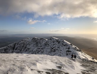
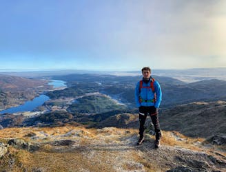
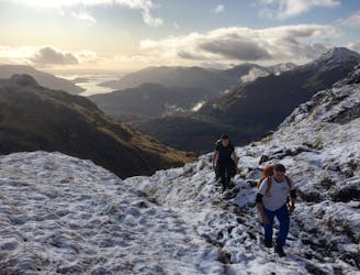
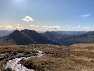
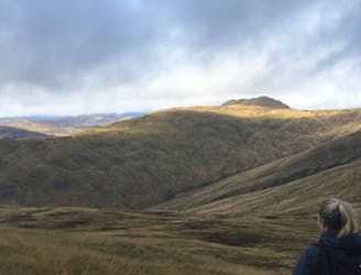
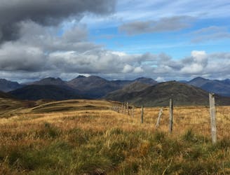
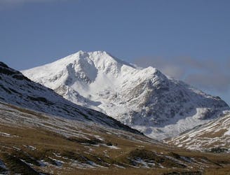
Popular hiking terrain within the Loch Lomond and Trossachs National Park can be found in the Arrochar Alps – a mountain range on the Cowal Peninsula near the village of Arrochar. Well-travelled trails allow for quick and easy access in gaining altitude to admire the incredible scenery that this mystical land beholds. Local classics such as Ben Vane, Ben Ìme and ‘The Cobbler’ provide excellent day trips that can be linked via ridges and saddles to tick off numerous peaks. Further east lies the Trossachs – an enchanting land made up of Glens and Lochs with Scottish woodlands that sway back and forth throughout the region. Ben Lomond, Ben Venue and Ben Ledi allow this scenery to be viewed from above creating spectacular hiking vistas. To the north of the park lies the edge of the Tyndrum Hills – a range of mountains offering a truly rugged and wild landscape. Examples include Ben Lui and Beinn a’Chleibh that display terrain often fantasied in a J.R.R Tolkien novel.
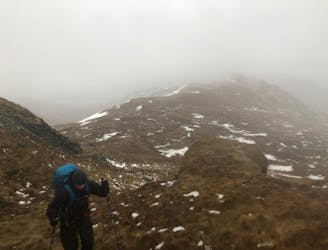
However, as enchanting as this land may be, warning must be given of the dangers which await intrepid adventurers. Arduous ascents, deep glens and perilous mountain tops require precise planning to navigate through this ancient land stooped in mystical legends. Above the topography lies the Scottish troposphere; a weather system that can harness the power of the nearby rising air from the Atlantic Ocean to form the most violent weather in a matter of minutes - causing rivers to rise, blizzards to blind and winds that will rip unwary travellers down steep slopes. The mountain Gods rule this terrain and the weather depends on their mood. Respect this land for what it is and always be prepared to face tough conditions.
Throughout this guidebook you will notice the mountains classified as a Graham, Corbett, or Munro. Here’s the local lowdown on what these terms mean:
Simple and effective, without sacrificing the view!
Difficult Hiking
Fantastic views of Loch Lomond and beyond!
Difficult Hiking
Small in size but big in character!
Moderate Hiking
A relentless ascent but well worth it for this Loch Lomond classic!
Difficult Hiking
A long ascent to reach the Loch Lomond and Trossach's highest peak!
Difficult Hiking
A big day, a big car park fee and a big load of tourists, but beat that and you'll have fantastic hike on three local area classics!
Difficult Hiking
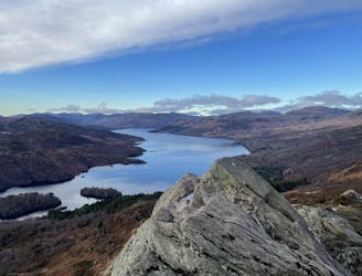
A popular hike in a romantic landscape
Difficult Hiking
A pleasant 'wee' day out, but still packs a punch with the view!
Moderate Hiking
Short and stubborn, a great hike nonetheless
Difficult Hiking
A grand mountain for a grand adventure!
Difficult Hiking
A wild, rugged, and isolated landscape. Be prepared for a grind.
Difficult Hiking
The miniature mountain offering big views!
Moderate Hiking