2.9 km away
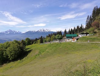
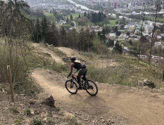
Arzler Experience
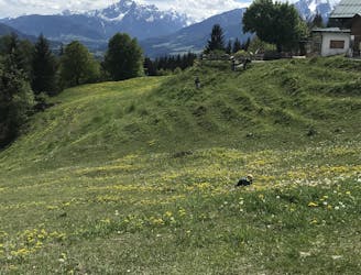
All the way up from the city to Arzler Alm - where the single trail starts.
Moderate Mountain Biking
- Distance
- 6.9 km
- Ascent
- 563 m
- Descent
- 59 m
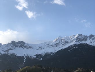
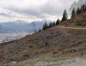
Hidden gem in Innsbruck
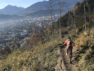
Mountain Biking Moderate

Although not too well known outside Tyrol, this trail is well hidden in the forests around Innsbruck. It begins close to the small town of Patsch, next to the Brenner Highway. After a forest road, a small crossing awaits which then leads to the trail. This natural singletrack winds down through the forest with plenty of flow and some roots until it reaches a street, which then leads back to Innsbruck. Since its not the most well known trail, it usually is in good condition and offers plenty of options to play around with. Watch out for occasional hikers.
Moderate
Mostly stable trail tread with some variability, with unavoidable obstacles 8in/20cm tall or less. Other obstacles such as rock gullies and steep sections may exist. Ideal for lower intermediate riders.
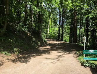
2.9 km away
All the way up from the city to Arzler Alm - where the single trail starts.
Moderate Mountain Biking
2.9 km away
A nice spin on the cycling paths alongside the Inn.
Easy Mountain Biking
2.9 km away
Mini Gravel route just outside the city center.
Easy Mountain Biking
2.9 km away
Gravel experience of Nordkette from west to east.
Difficult Mountain Biking
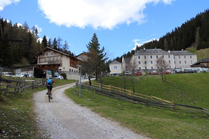
4 km away
A technically easy but physically hard ride to a stunning and rustic mountain hut.
Moderate Mountain Biking
4 km away
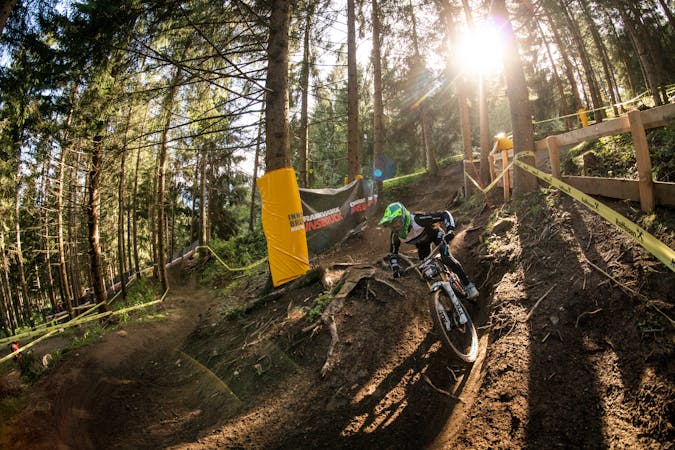
Innsbruck's best known trail is worth the hype!
Difficult Mountain Biking
4 km away
A sunny and beautiful trip between 5 classic Austrian mountain huts.
Easy Mountain Biking
4 km away
A stunning and non-technical trip to a couple of lovely mountain huts.
Easy Mountain Biking
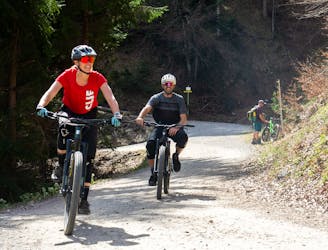
4.1 km away
A very easy to access trail, thanks to the public transportation in Innsbruck
Moderate Mountain Biking
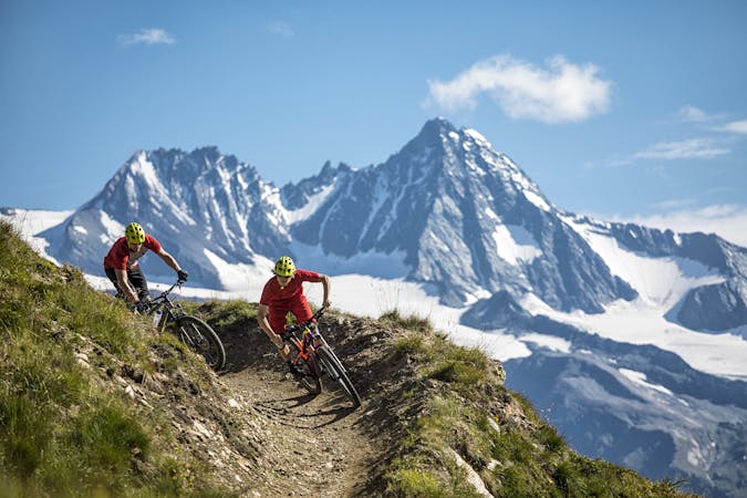
4.9 km away
The longest single trail in Innsbruck - enjoy the breathtaking view in between a feature and the next one.
Difficult Mountain Biking
1 routes · Mountain Biking
5 routes · Mountain Biking

24 routes · Mountain Biking
7 routes · Mountain Biking