2.1 km away
Train Wreck
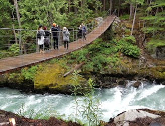
A mysterious scattering of crashed train cars and urban artwork in the forest.
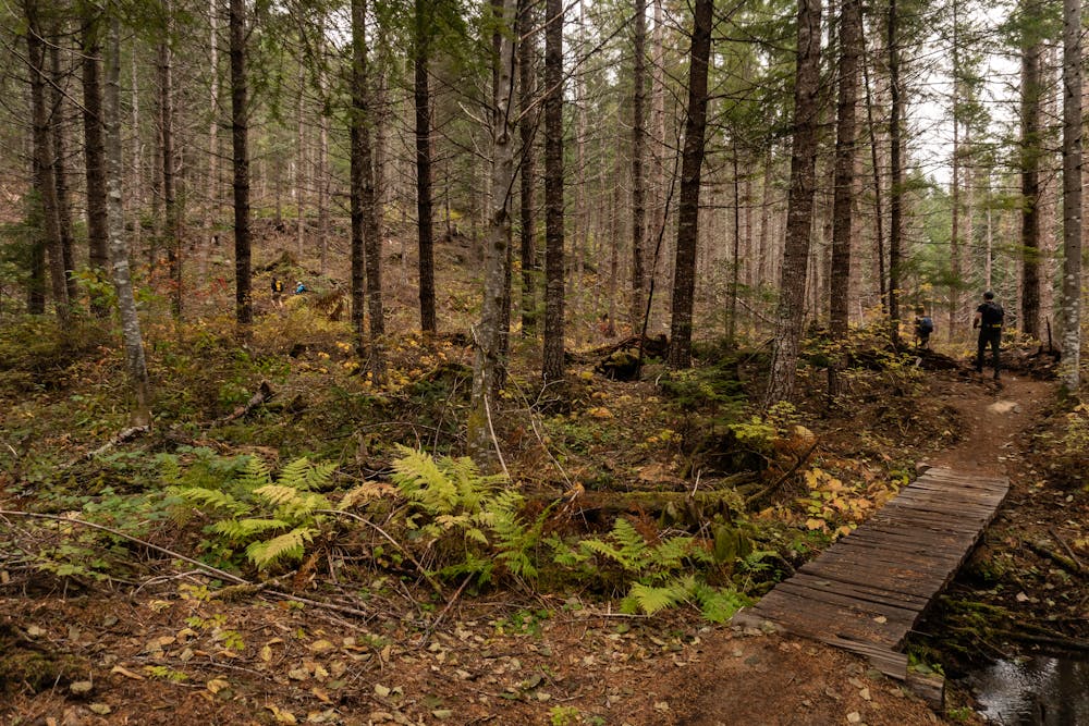
Easy Hiking
- Distance
- 2.8 km
- Ascent
- 79 m
- Descent
- 79 m
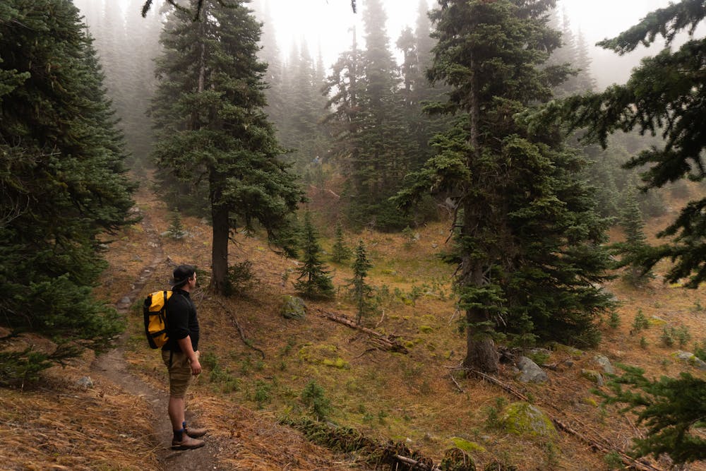
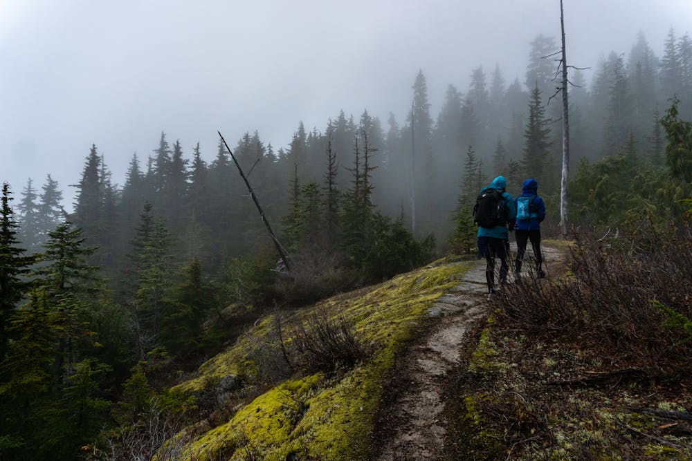
Lesser known route with incredible forest viewing, and stunning alpine views.
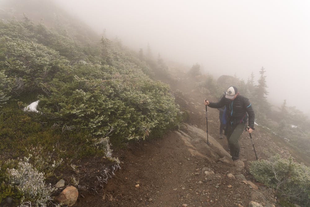
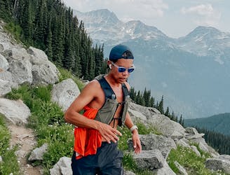
Hiking Difficult

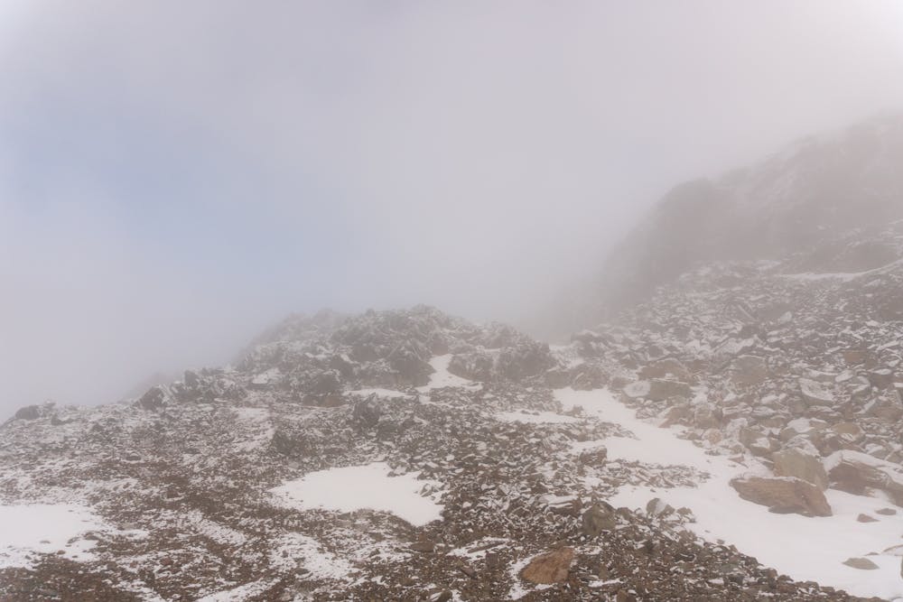
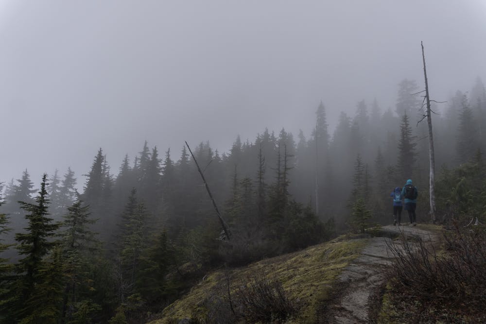
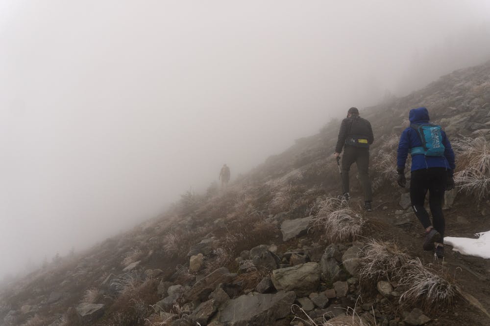
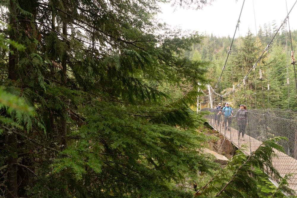
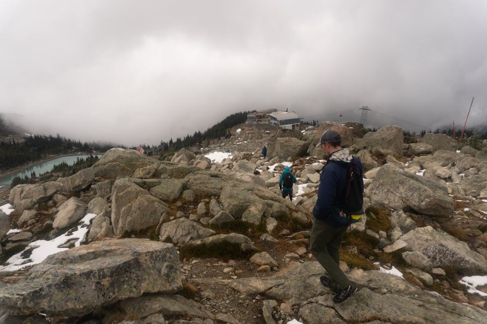
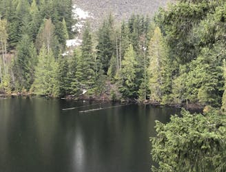
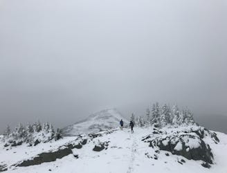
A barely known trail that showcases the best of the incredible forests, alpine views and interesting terrain. A great route to escape the crowds.
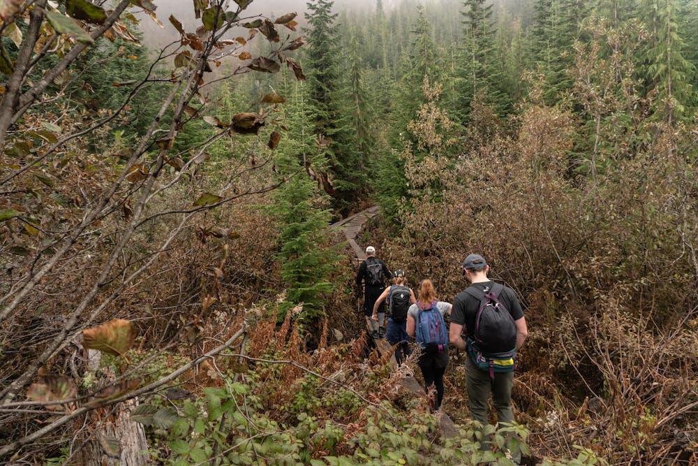
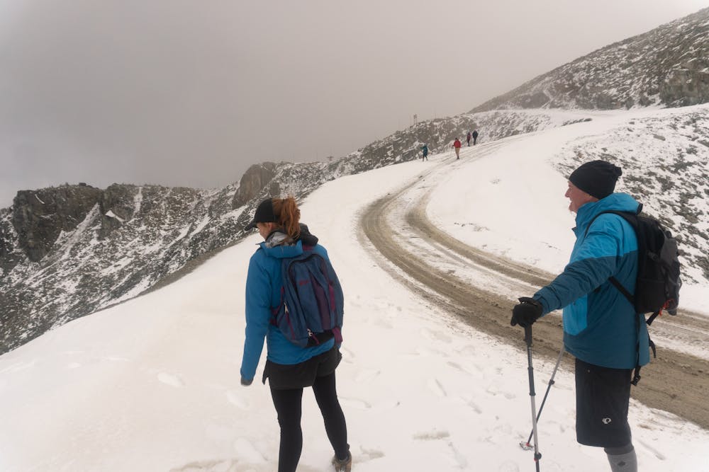
The best way to get here if you plan on looping the route is taking the bus to Function Junction to get to the trailhead. If you park here, be sure to have a way to get back to your car as this route ends in Whistler Village (where you can catch a bus back).
The first half follows mountain bike trails so be sure to be mindful of bikes coming down. Also for navigation purposes the route using the bike trail names as found on this app.
Difficult
Hiking trails where obstacles such as rocks or roots are prevalent. Some obstacles can require care to step over or around. At times, the trail can be worn and eroded. The grade of the trail is generally quite steep, and can often lead to strenuous hiking.

Some trail sections have exposed ledges or steep ascents/descents where falling could cause serious injury.

Away from help but easily accessed.
2.1 km away
A mysterious scattering of crashed train cars and urban artwork in the forest.
Easy Hiking
2.6 km away
Semi-quiet trail with some scenic vistas accessible via local transit.
Difficult Hiking
3.9 km away
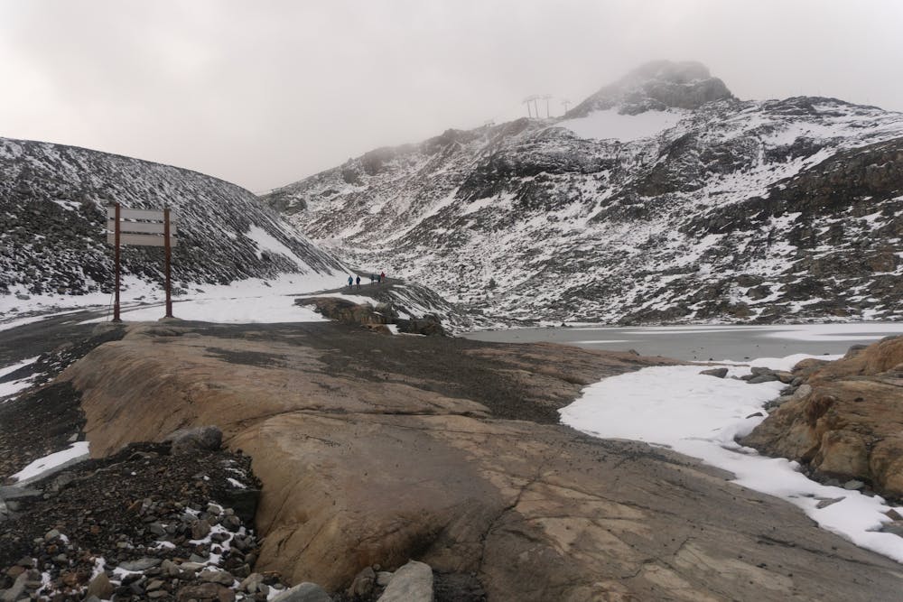
A 1-2 day extension to the Rubble-Helm Circuit
Extreme Hiking
3.9 km away
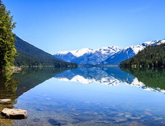
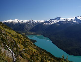
Walk among huge trees to a milky blue lake with swim spots and campsites in Garibaldi Provincial Park.
Moderate Hiking
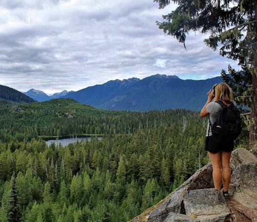
6.2 km away
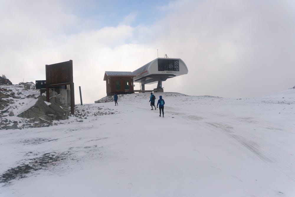
A classic hike atop Whistler Peak that utilizes the Peak Express Lift to form a loop known for its endless views.
Moderate Hiking
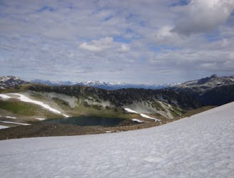
6.2 km away
Hike from Whistler Resort through mountain meadows along an eye-popping ridgeline, to a small lake tucked high in the alpine.
Difficult Hiking
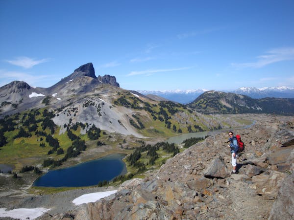
6.2 km away
Explore the alpine meadows, pristine lakes & rugged peaks of Whistler on this picturesque 10km route.
Difficult Hiking
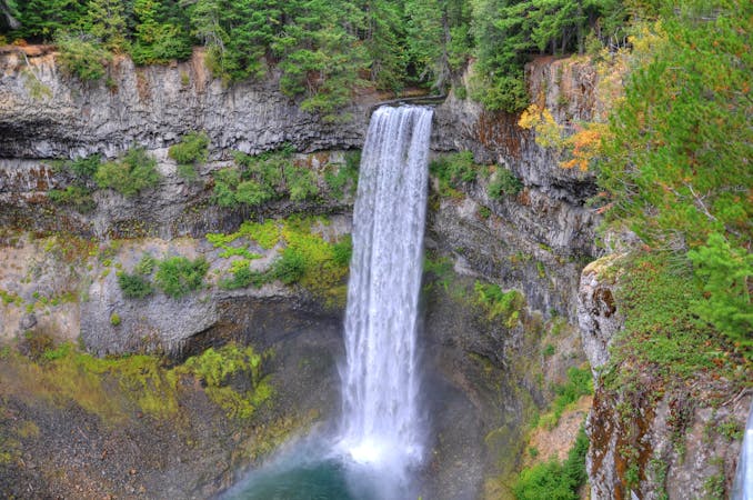
7 km away
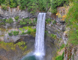
Short walk to a viewing platform over a picture-perfect, 70-meter waterfall.
Easy Hiking
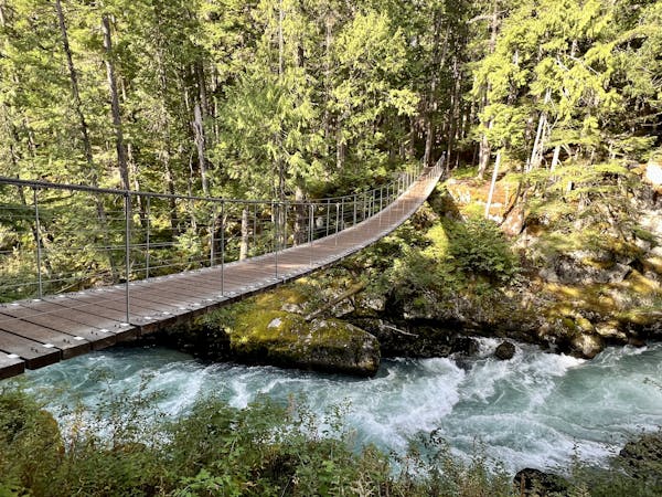
7 km away
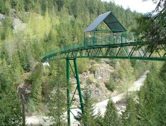
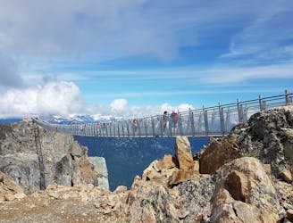
A longer spin on a classic Whistler hike that visits both Brandywine Falls and the Whistler Bungee Bridge.
Moderate Hiking
8 km away
A popular backpacking route with options to form a loop and camping options along Russet Lake.
Difficult Hiking
10 routes · Hiking
3 routes · Hiking
6 routes · Hiking
18 routes · Hiking