2 m away
Crater Rim Trail
Semi-quiet trail with some scenic vistas accessible via local transit.
Difficult Hiking
- Distance
- 9.3 km
- Ascent
- 372 m
- Descent
- 372 m
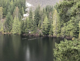
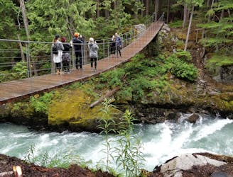
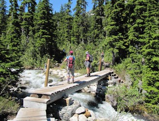
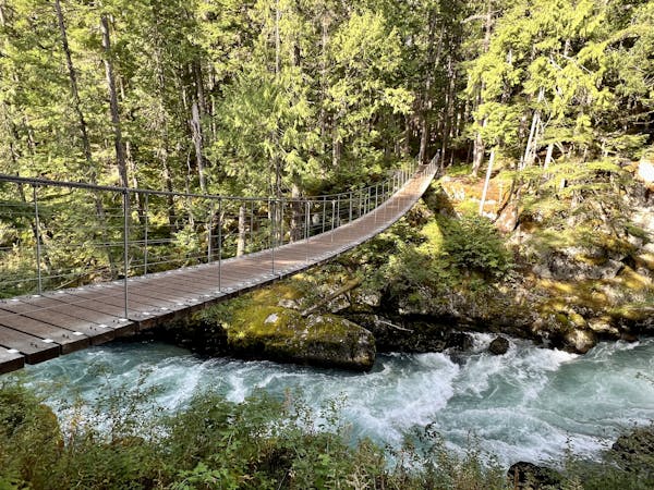
A Whistler favorite and fun family adventure along the banks of the Cheakamus River.
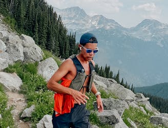
Hiking Moderate

The Riverside/Farside Loop is one of the most popular day hikes to explore the stunning Whistler Interpretive Forest. Rushing waters, lush forests, and a suspension bridge make this one of the top must-do hikes if planning a trip through the area.
The entire hike is easy overall, but those newer to hiking may consider it more difficult. The terrain tends to be non-technical, though mud is always an option with most trails in this region.
Enjoy the loop clockwise or counter-clockwise beginning near the Sea to Sky Highway, and note that leashed dogs are welcome to accompany their owners.
Moderate
Hiking along trails with some uneven terrain and small hills. Small rocks and roots may be present.

The path is on completely flat land and potential injury is limited to falling over.

Away from help but easily accessed.
2 m away
Semi-quiet trail with some scenic vistas accessible via local transit.
Difficult Hiking
878 m away
A mysterious scattering of crashed train cars and urban artwork in the forest.
Easy Hiking
5.9 km away
A 1-2 day extension to the Rubble-Helm Circuit
Extreme Hiking
6 km away
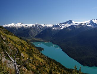
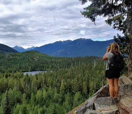
Walk among huge trees to a milky blue lake with swim spots and campsites in Garibaldi Provincial Park.
Moderate Hiking
6.1 km away
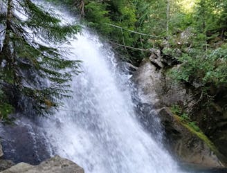
Gradual uphill hike through diverse forest, past a waterfall, to an alpine lake just outside Whistler.
Moderate Hiking
6.1 km away
A shorter loop hike in Whistler with spectacular views of Rainbow Falls.
Easy Hiking
6.7 km away
A classic hike atop Whistler Peak that utilizes the Peak Express Lift to form a loop known for its endless views.
Moderate Hiking
6.7 km away
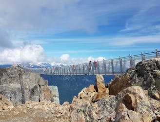
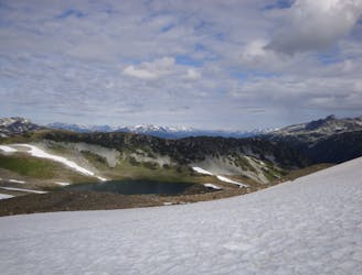
Hike from Whistler Resort through mountain meadows along an eye-popping ridgeline, to a small lake tucked high in the alpine.
Difficult Hiking
6.7 km away
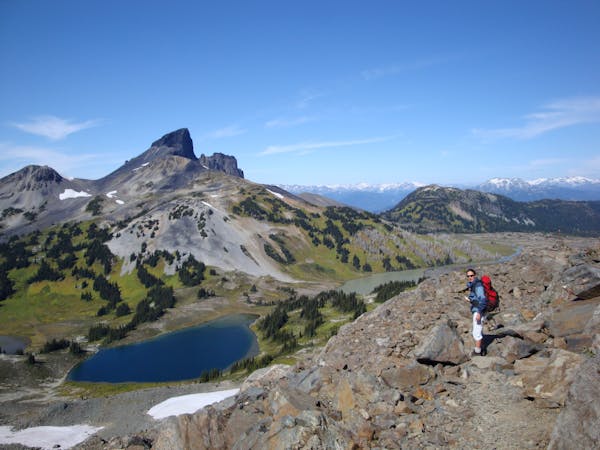
A popular backpacking route with options to form a loop and camping options along Russet Lake.
Difficult Hiking
6.7 km away
Explore the alpine meadows, pristine lakes & rugged peaks of Whistler on this picturesque 10km route.
Difficult Hiking
10 routes · Hiking
6 routes · Hiking
18 routes · Hiking