35 m away
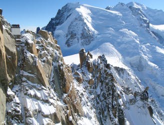
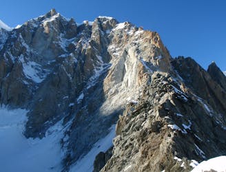
Mont Blanc du Tacul, 4248m. Normal Route
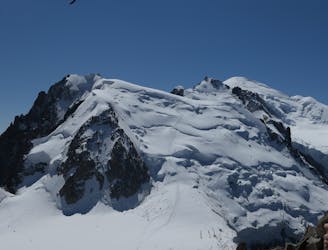
Though this a normal route it is a relatively steep route up a N Face and is an avalanche black spot
Moderate Alpine Climbing
- Distance
- 7.7 km
- Ascent
- 980 m
- Descent
- 980 m
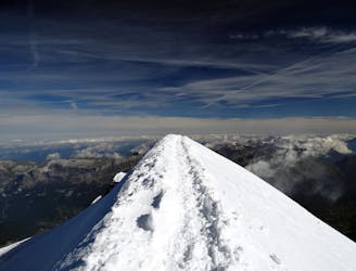
Difficult acclimatization hike before summiting Mont Blanc
Alpine Climbing Difficult

This is a popular alpine climbing route which is generally considered to be difficult. It's remote, it features medium exposure and is typically done between June and September. From a low point of 3.5 km to the maximum altitude of 4.3 km, the route covers 4.9 km, 895 vertical metres of ascent and 322 vertical metres of descent. You'll need ice axe, crampons and glacier kit to complete it safely.
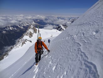
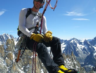
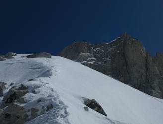
Mountaineering hike from Aiguille du Midi to Mont Maudit
Difficult
The beginning of truly technical terrain which might involve pitched climbing on rock and/or ice, exposed terrain and complex route finding in ascent and descent. Equivalent to AD, AD+

The route features some exposed and/or difficult to protect sections.
Away from help but easily accessed.
35 m away
Though this a normal route it is a relatively steep route up a N Face and is an avalanche black spot
Moderate Alpine Climbing
40 m away
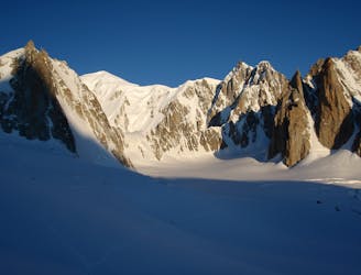
A characterful N Face in a wild location, but with relatively easy access.
Difficult Alpine Climbing
42 m away
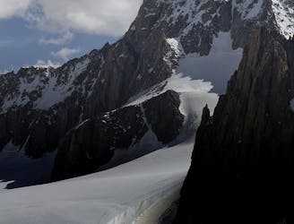
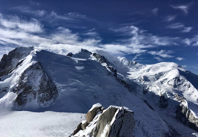
A huge day out through very complicated glacial terrain to the highest peak in Western Europe
Moderate Alpine Climbing
49 m away
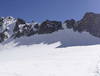
A wonderful high mountain journey through huge, wild mountains
Moderate Alpine Climbing
49 m away
A truly classic route, which is serious and exposed but not technically difficult.
Difficult Alpine Climbing
294 m away
An iconic and accessible route with great and varied climbing, with amazing exposure down to Chamonix
Difficult Alpine Climbing
5.1 km away
A popular and exposed route to a stunning granite spire, with epic views.
Difficult Alpine Climbing
5.1 km away
A great training route that can be done in either direction, easier N to S as described.
Moderate Alpine Climbing
5.1 km away
A memorable technical mountaineering route up one of the finest ridges of its standard in the Alps, the Frontier Ridge.
Severe Alpine Climbing
5.2 km away
An aesthetic short traverse and a good introduction to steeper snow.
Difficult Alpine Climbing
5 routes · Alpine Climbing

12 routes · Alpine Climbing · Hiking

15 routes · Alpine Climbing · Hiking

6 routes · Alpine Climbing · Hiking

9 routes · Alpine Climbing · Hiking

6 routes · Alpine Climbing

9 routes · Alpine Climbing · Hiking

18 routes · Alpine Climbing · Hiking

10 routes · Alpine Climbing