2 m away
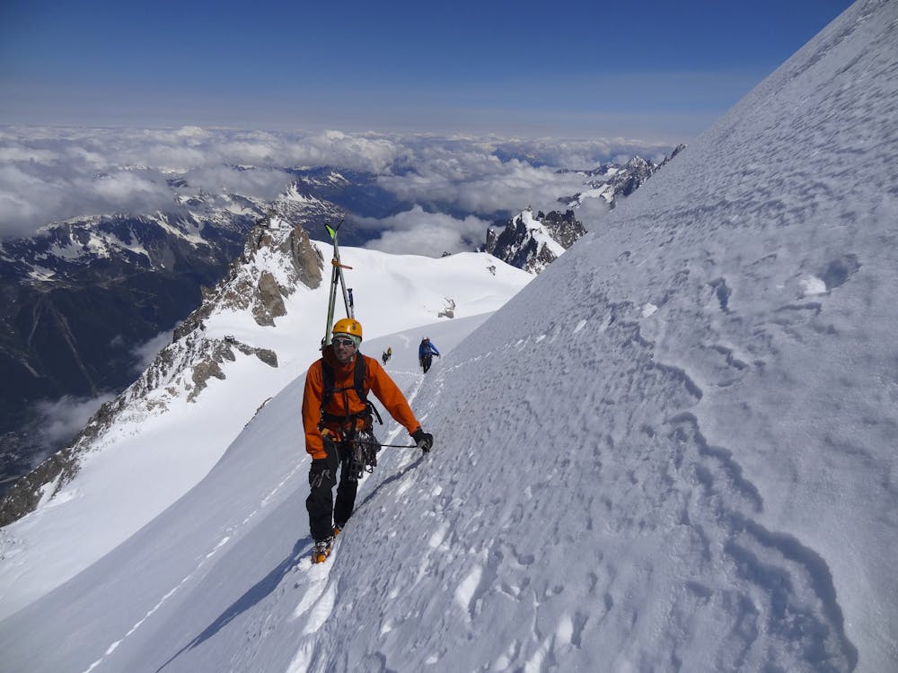
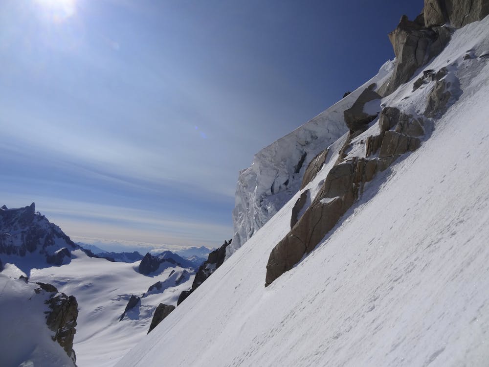
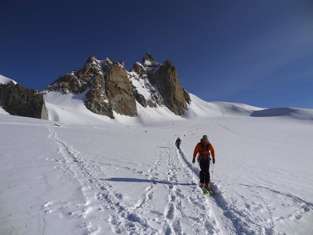
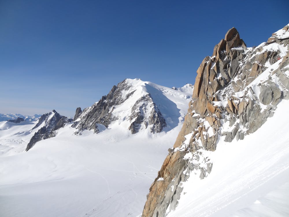
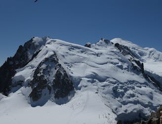
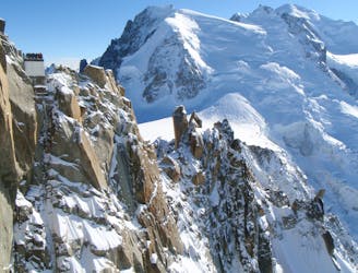
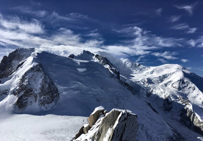
Mont Blanc, 4808m. The 3 Monts Route
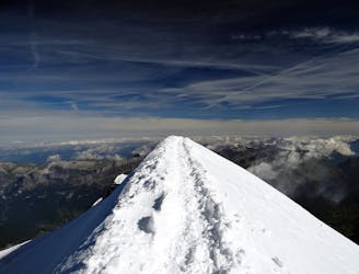
A huge day out through very complicated glacial terrain to the highest peak in Western Europe
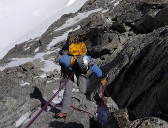
Moderate Alpine Climbing
- Distance
- 15 km
- Ascent
- 1.5 km
- Descent
- 2.9 km
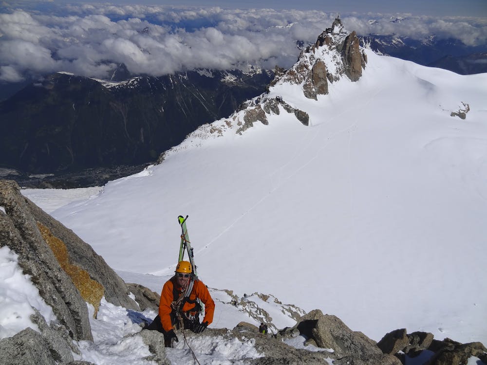
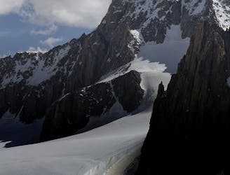
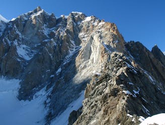
A characterful N Face in a wild location, but with relatively easy access.
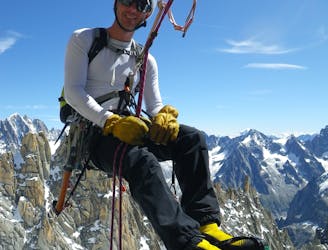
Alpine Climbing Difficult

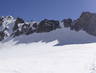
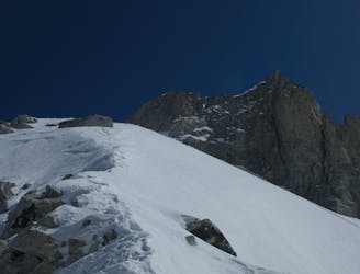
Access, as for most routes in this area, is by the Aiguille du Midi cable car. Descend the sharp ridge from the Midi (which has fixed ropes in the spring) then head down under its S Face and across the Col du Midi. The route lies on the L side of the NE triangle of Mont Blanc du Tacul, but to the R of, and not threatened by, the large hanging seracs on the far L side. Pass to the L of and under the lowest rocks on the L of the NE triangle and then head upwards, crossing the bergschrund at the least unfriendly point. Now head up and R, staying close to the rocks, with possible belays. The route follows the easiest line, as it is the least difficult on the face. Continue up the snow and ice to a shoulder, then branching slightly L up easy mixed ground, largely avoiding the rocks, but with odd rocky runners and belays if needed. There is a snowy rampline just before the final mixed steepening. Again pick the line of least resistance until you are above all the rocks, at the summit of the triangle, at about 3970m. The safest line is to continue up the snowy/icy ridge above, in the direction of the summit. You can avoid the summit by traversing R and joining the numerous tracks that have come up the standard route on Mont Blanc du Tacul. Descend the obvious well-travelled track descending the NW slope of Mont Blanc du Tacul. An alternative descent is traverse off much lower down and find the rappel line of the Couloir Chéré. This can be tricky to find, and there's an avalanche prone traverse across to it. You may also find lots of people on it, hence the aesthetic up and over journey may be much more desirable!
Difficult
The beginning of truly technical terrain which might involve pitched climbing on rock and/or ice, exposed terrain and complex route finding in ascent and descent. Equivalent to AD, AD+

The route features some exposed and/or difficult to protect sections.

Little chance of being seen or helped in case of an accident.
2 m away
A huge day out through very complicated glacial terrain to the highest peak in Western Europe
Moderate Alpine Climbing
10 m away
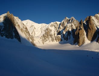
Though this a normal route it is a relatively steep route up a N Face and is an avalanche black spot
Moderate Alpine Climbing
13 m away
A wonderful high mountain journey through huge, wild mountains
Moderate Alpine Climbing
15 m away
A truly classic route, which is serious and exposed but not technically difficult.
Difficult Alpine Climbing
256 m away
An iconic and accessible route with great and varied climbing, with amazing exposure down to Chamonix
Difficult Alpine Climbing
5 km away
A popular and exposed route to a stunning granite spire, with epic views.
Difficult Alpine Climbing
5.1 km away
A great training route that can be done in either direction, easier N to S as described.
Moderate Alpine Climbing
5.1 km away
A memorable technical mountaineering route up one of the finest ridges of its standard in the Alps, the Frontier Ridge.
Severe Alpine Climbing
5.2 km away
An aesthetic short traverse and a good introduction to steeper snow.
Difficult Alpine Climbing
5.2 km away
An amazingly exposed rocky ridge, but never too hard, with incredible views
Difficult Alpine Climbing
5 routes · Alpine Climbing

12 routes · Alpine Climbing · Hiking

15 routes · Alpine Climbing · Hiking

6 routes · Alpine Climbing · Hiking

9 routes · Alpine Climbing · Hiking

6 routes · Alpine Climbing

9 routes · Alpine Climbing · Hiking

18 routes · Alpine Climbing · Hiking

10 routes · Alpine Climbing