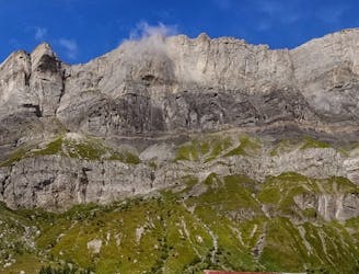
1.4 km away
Tête Rousse Hut
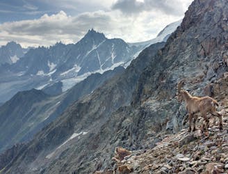
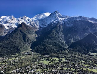
A challenging loop showcasing the diversity of the Mont Blanc mountain range.
Severe Hiking
- Distance
- 23 km
- Ascent
- 2.2 km
- Descent
- 2.2 km
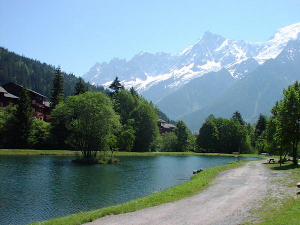
A relaxing spot with kids in the summer
Hiking Easy

This is a popular hiking route which is generally considered to be easy. It's an unknown remoteness, it features unknown exposure and is typically done in an unknown time of year. From a low point of 1 km to the maximum altitude of 1 km, the route covers 495 m, 2 vertical metres of ascent and 2 vertical metres of descent.
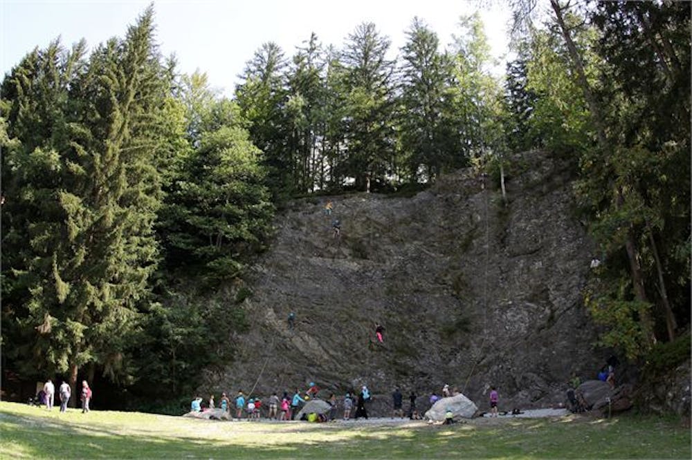
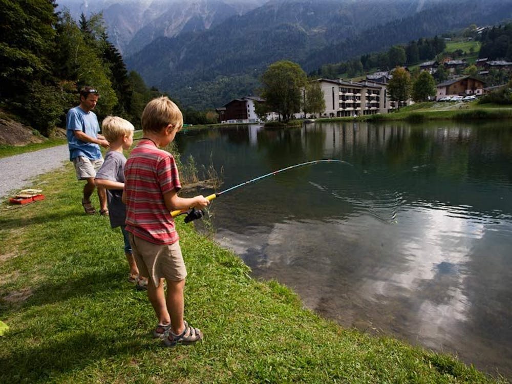
A great place for a family stroll, some fishing or some easy rock climbing.
Easy
Walking along a well-kept trail that’s mostly flat. No obstacles are present.
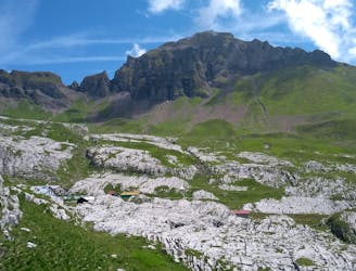
1.4 km away
A challenging loop showcasing the diversity of the Mont Blanc mountain range.
Severe Hiking
1.6 km away
Easy hike to the statue du Christ-Roi.
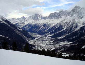
Moderate Hiking
2.4 km away
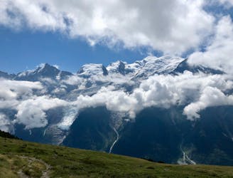
Day 2: An excellent day taking in a huge variety of views, from alpine meadows to hanging glaciers and rocky ridges.
Difficult Hiking
2.6 km away
A pleasant hike with views of the Mont Blanc Massif
Moderate Hiking
3.4 km away

While one of the less interesting sections of the TMB, this stretch still offers a few hidden trail gems.
Moderate Hiking
5.2 km away
A famous hike which was the starting point for Jacques Balmat and Michel Paccard when they made the first ascent of Mont Blanc in 1786.
Difficult Hiking
6 km away

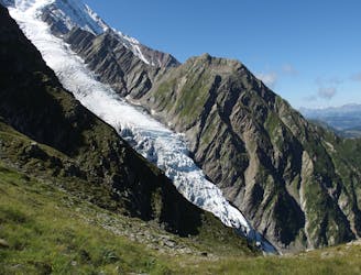
Circumnavigate the iconic Mont Blanc massif on this epic multi-day route.
Severe Hiking
6 km away

Day 1: A gentle downhill day on the sun-kissed south-facing slopes of the Brévent peak.
Moderate Hiking
7 km away
A stunning loop taking in some of the best Mont Blanc views you'll find
Difficult Hiking
7 km away
Beautiful loop with enough alternatives to fit any hiker's taste and endurance
Severe Hiking

6 routes · Hiking

14 routes · Hiking

5 routes · Hiking

12 routes · Hiking