131 m away
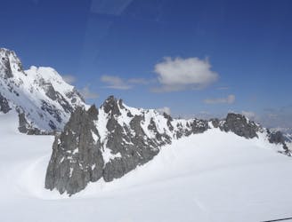
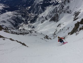
Marbree Couloir
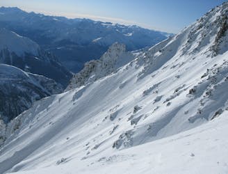
Probably the most spectacular descent on the Hellbronner, this line goes through some huge terrain and features steep freeriding.
Severe Ski Touring
- Distance
- 6.2 km
- Ascent
- 96 m
- Descent
- 2 km
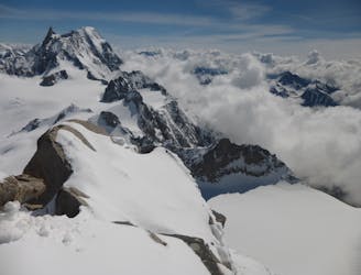
An amazing route in a grandiose environement
Ski Touring Difficult

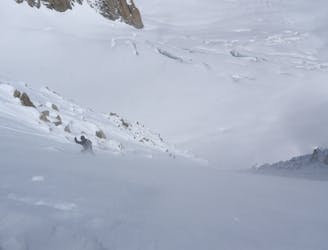
This is a popular ski touring route which is generally considered to be difficult. It's extremely remote, it features medium exposure (e2) and is typically done between January and April. From a low point of 1.3 km to the maximum altitude of 3.7 km, the route covers 13 km, 798 vertical metres of ascent and 2897 vertical metres of descent. You'll need rope, skins, ice axe, crampons and glacier kit to complete it safely.
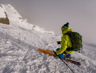
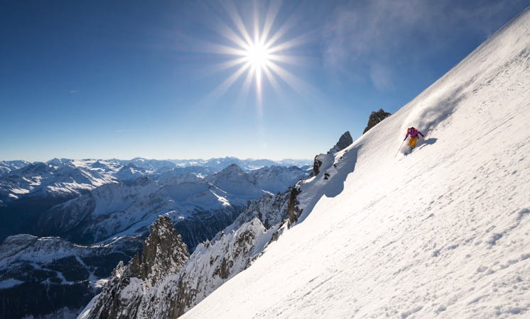
A ride from the top of the Tour Ronde to the valley through the big Brenva Glacier.
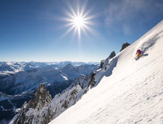
Difficult
Serious gradient of 30-38 degrees where a real risk of slipping exists.

As well as the slope itself, there are some obstacles (such as rock outcrops) which could aggravate injury.

In the high mountains or remote conditions, all individuals must be completely autonomous in every situation.
131 m away
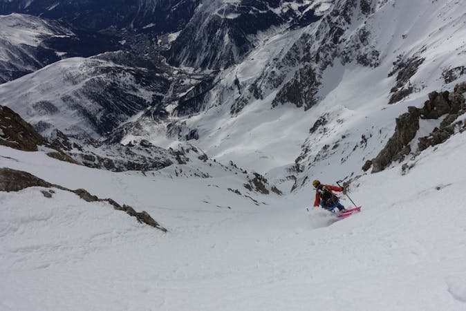
Probably the most spectacular descent on the Hellbronner, this line goes through some huge terrain and features steep freeriding.
Severe Ski Touring
146 m away
A steeper but more elegant variation to the classic Marbrée descent
Severe Ski Touring
836 m away
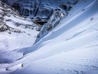
An incredible steep glacial face with blind rollovers, it is not often in condition these days.
Extreme Ski Touring
837 m away
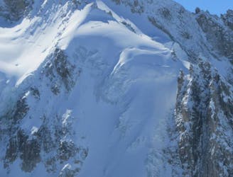
A huge and exposed face beneath one of the most iconic 4000ers.
Extreme Ski Touring
837 m away
Shorter alternative to the Dent du Géant South Face
Extreme Ski Touring
1.5 km away
A wild setting sets the tone for an incredible descent, steep and committing.
Severe Ski Touring
1.7 km away
A wild and committing descent. When conditions are good, this is as good as adventurous ski touring gets!
Severe Ski Touring
1.7 km away
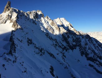
The most straightforward way to ski the Tour Ronde out of its four skiable sides.
Extreme Ski Touring
1.8 km away
A stunning and rarely descended line starting from 4000 meters on one of the most famous ridgelines of the Alps.
Extreme Ski Touring
1.9 km away
One of the areas classic steep north faces. Only 300 meters high, but the top slope is extremely serious
Extreme Ski Touring

10 routes · Freeride Skiing · Ski Touring
4 routes · Ski Touring

15 routes · Freeride Skiing · Ski Touring
9 routes · Freeride Skiing · Ski Touring