9 m away
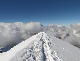
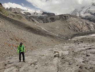
Approach to the Rossi e Volante Bivouac Hut
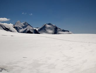
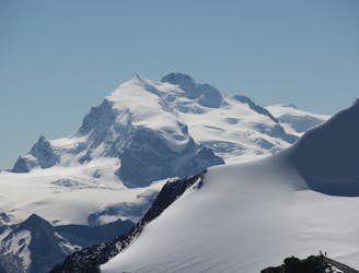
A simple but beautiful glacial journey
Easy Alpine Climbing
- Distance
- 3.8 km
- Ascent
- 191 m
- Descent
- 244 m
The ascent is on the glacier always the time and the sloppe isn't steep.
Alpine Climbing Easy

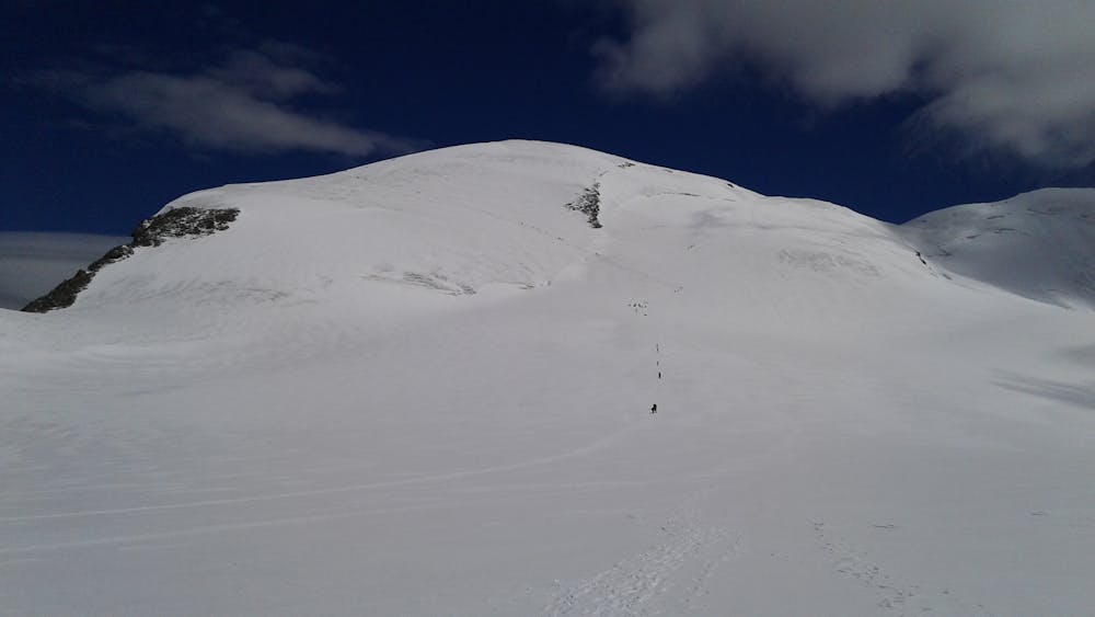
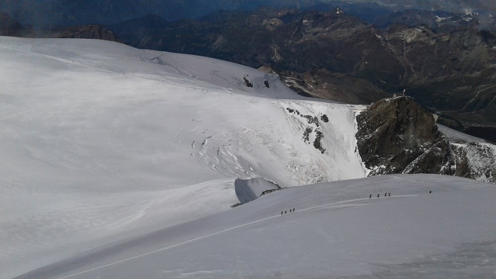
After the exit of the Klein Matterhorn follow the ski trail and go on the left to the glacier. The trail to the summit continue on the left. Under the top the trail turn on the left until the ridge and go on the right on the ridge until the top. The descent follow the same trail. Generally the trail is printed by the the other alpinist because this route is a lot frequent.
Easy
The ascent involves simple glacier hiking and/or short, straightforward rock scrambles. Equivalent to Alpine F, F+

The route is well protected or easy enough that protection is not required.
Close to help in case of emergency.
9 m away
A simple but beautiful glacial journey
Easy Alpine Climbing
14 m away
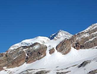
A popular route on a beautifully positioned peak.
Moderate Alpine Climbing
3.3 km away
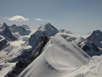
One of the best easier 4000m ridge traverses in the Alps
Difficult Alpine Climbing
3.4 km away
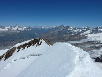
A classic high traverse of a major 4000m peak
Moderate Alpine Climbing
3.4 km away
A relatively minor summit, but a 4000m peak nonetheless, surrounded by others.
Moderate Alpine Climbing
5.9 km away
A brand new route to the hut, taking a beautiful but easy glacial mountain journey
Easy Alpine Climbing
6.3 km away
A condition dependent high altitude traverse over the shoulder of Lyskamm
Moderate Alpine Climbing
6.3 km away
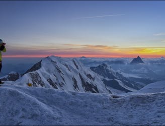
A huge journey for the very ambitious and very well acclimatised mountain athlete.
Moderate Alpine Climbing
6.5 km away
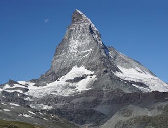
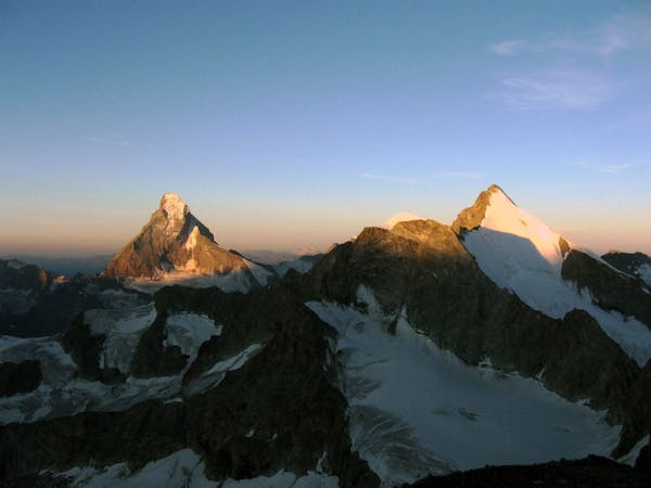
The least difficult route up the most famous mountain in the Alps, if not the world.
Difficult Alpine Climbing
7 km away
A huge day to the second highest peak in Europe.
Moderate Alpine Climbing
6 routes · Alpine Climbing · Hiking
6 routes · Alpine Climbing

11 routes · Alpine Climbing · Hiking

6 routes · Alpine Climbing

6 routes · Alpine Climbing · Hiking

10 routes · Alpine Climbing · Hiking

9 routes · Alpine Climbing · Hiking

20 routes · Alpine Climbing · Hiking