1.1 km away
Adobe Jack -> Javelina Loop
One of Sedona's easiest mountain bike rides.
Difficult Mountain Biking
- Distance
- 7.9 km
- Ascent
- 176 m
- Descent
- 176 m
A technical, but gorgeous, loop around Airport Butte.
Mountain Biking Severe

While the Airport Loop doesn’t make most lists of the best rides in Sedona, for the technically-adept rider this chundery trail is a true sleeper hit.
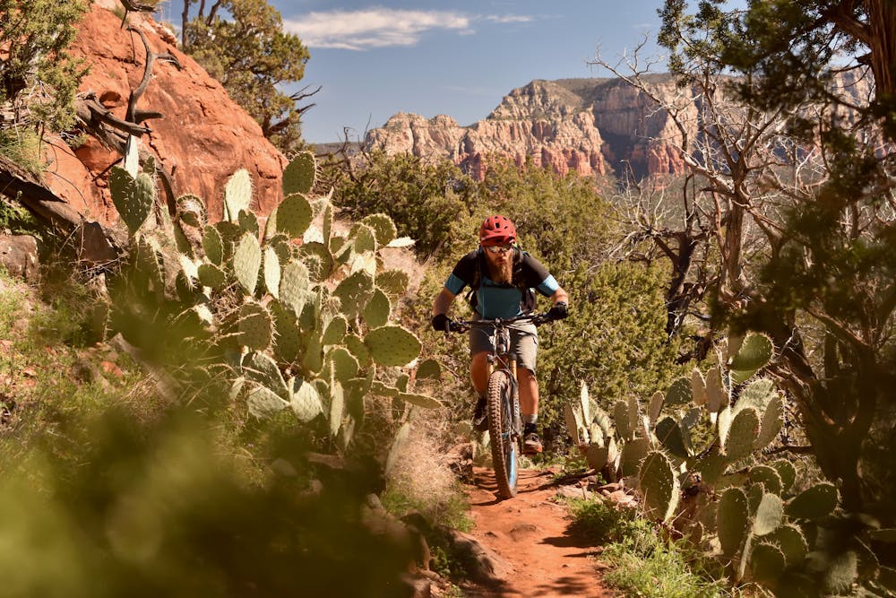
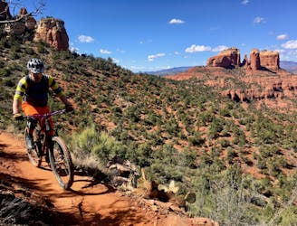
The loop can be ridden in either direction, although most people recommend clockwise. At only 3.3 miles it’s not much of a ride by itself, but it can easily be connected to the Scorpion / Pyramid route via the Bandit trail.
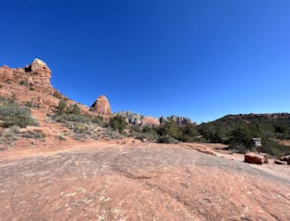
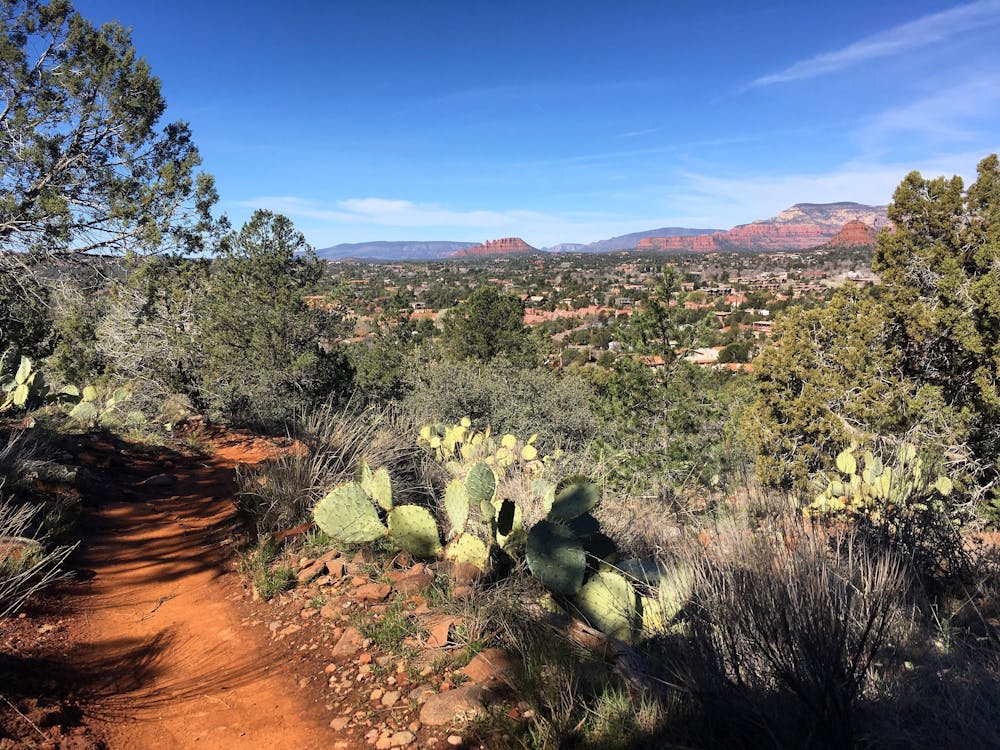
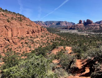
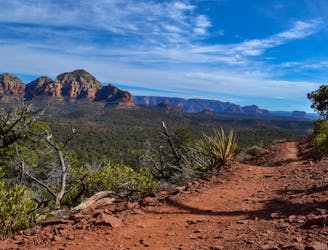
From the primary trailhead, the loop begins with stunning views of Red Rock Country. The vantage of the valley provided by Airport Butte is one of the best in the region, so bring your camera!
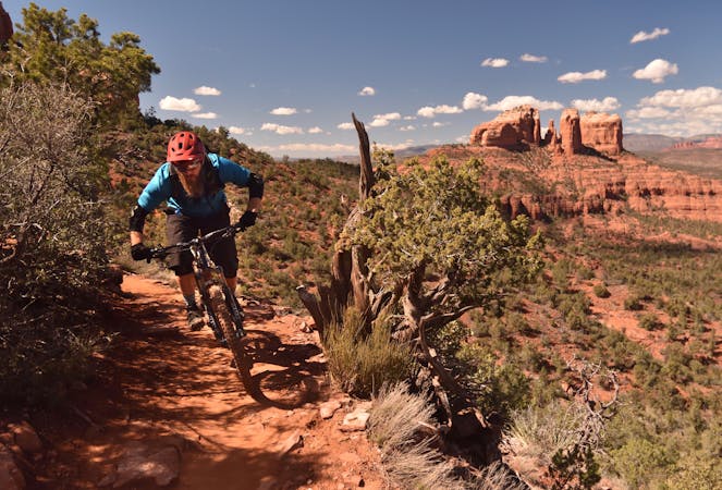
Ridden in this combination, the most exposed section of trail comes first. The exposure on Airport Loop rivals the Hiline trail and even Hangover, and it’s only compounded by the fact that this trail is most definitely NOT bike-optimized. Unlike Hiline and Hangover, this route wasn’t constructed with bikes in mind, so some of the obstacles are very awkward and off camber.
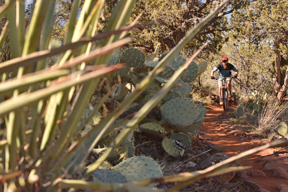
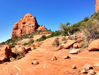
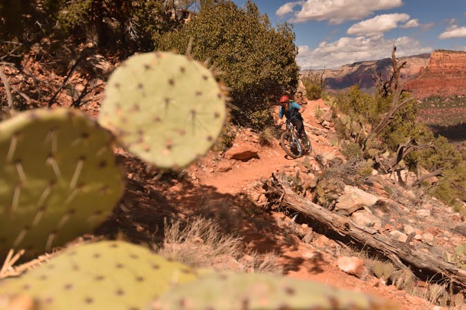
After leaving the truly exposed section, the trail begins to ascend and arguably, only gets more and more difficult. The rocks are blocky and off camber, and yet, despite a few hike-a-bike sections, most of this trail is rideable for a decent advanced rider.
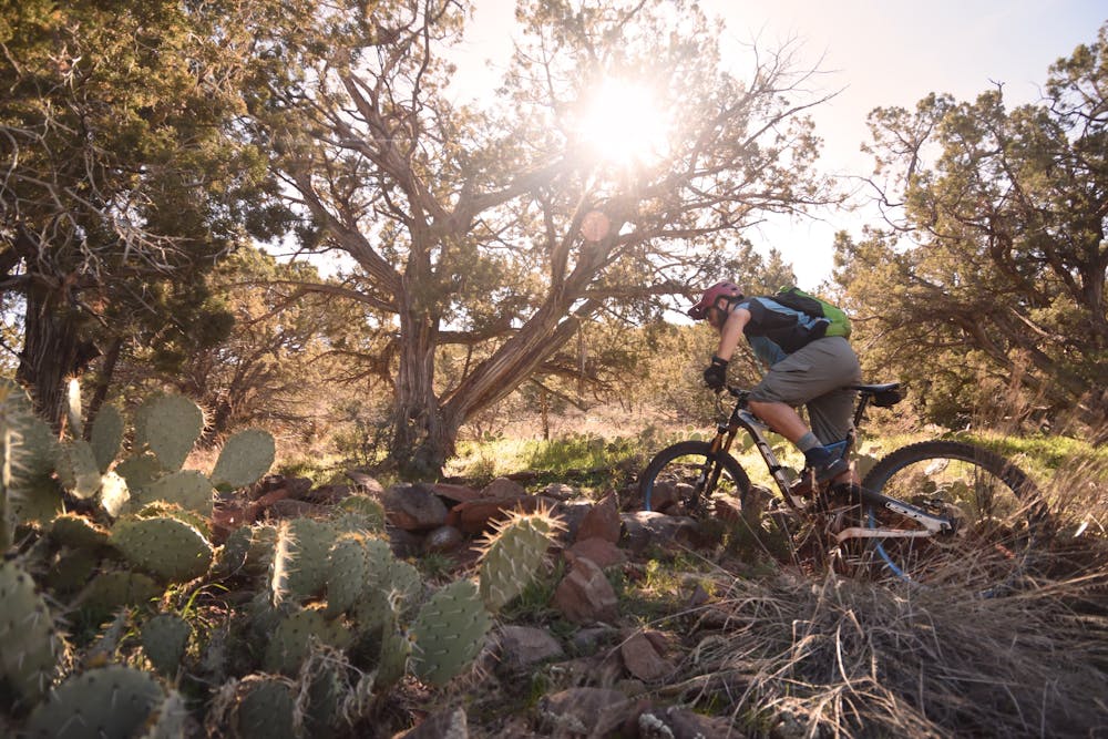
The back side of the loop drops into a lush forested area—a rarity in Sedona. The trail is still rocky, but slightly less so than on the front side. Finally, you’ll finish the ride with a short, flowy descent, that pops out right at the trailhead.
Severe
Widely variable, narrow trail tread with steeper grades and unavoidable obstacles of 15in/38cm tall or less. Obstacles may include unavoidable bridges 24in/61cm wide or less, large rocks, gravel, difficult root sections, and more. Ideal for advanced-level riders.

Some trail sections are extremely exposed where falling will almost certainly result in serious injury or death.

Close to help in case of emergency.
1.1 km away
One of Sedona's easiest mountain bike rides.
Difficult Mountain Biking
2.4 km away

The Hogs are some of the most entertaining—and challenging—trails in Sedona, with technical rock rolls and rock gardens, cliff exposure, and of course—beautiful views!
Severe Mountain Biking
3.1 km away
Extreme exposure coupled with brutally-technical rock moves make Hangover one of the most technical--and dangerous--trails in the nation.
Extreme Mountain Biking
3.4 km away

Combine a longtime Sedona classic trail with a flowy loop on the end.
Severe Mountain Biking
4 km away
A loop connecting some of the newest singletrack that Sedona has to offer.
Severe Mountain Biking
4.5 km away
Hiline offers stunning views of the Red Rocks region from exposed mountainside singletrack. Finish it off with a raucous descent down a black-diamond plunge!
Extreme Mountain Biking
4.7 km away

A long loop connecting Sedona trails both old and new.
Difficult Mountain Biking
5.4 km away
This intermediate-friendly primer to Sedona's red rock will entertain expert-level riders as well.
Difficult Mountain Biking
5.5 km away

A short but rewarding descent that can be ridden independently, or in conjunction with Hiline.
Difficult Mountain Biking
10 routes · Mountain Biking

25 routes · Mountain Biking

37 routes · Mountain Biking
3 routes · Mountain Biking

25 routes · Mountain Biking

10 routes · Mountain Biking