FATMAP by Strava

Hangover

Sedona

Extreme exposure coupled with brutally-technical rock moves make Hangover one of the most technical--and dangerous--trails in the nation.

Mountain Biking Extreme

Distance
13 km
Ascent
375 m
Descent
375 m
Duration
1-2 hrs
Low Point
1.4 km
High Point
1.6 km
Gradient
Hangover Map

If it's possible for a mountain bike trail to go viral, Hangover has done it. Every Youtube mountain bike channel must now have a Hangover video. Almost every mountain bike publication has written an article about it. And photos of Hangover have flooded Instagram and other social media websites.

Description

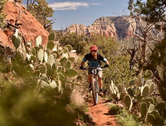
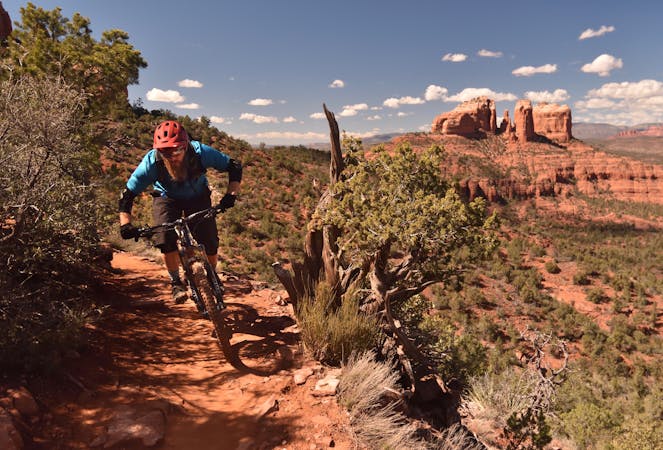
If any trail is worthy of the fame, it is Hangover.

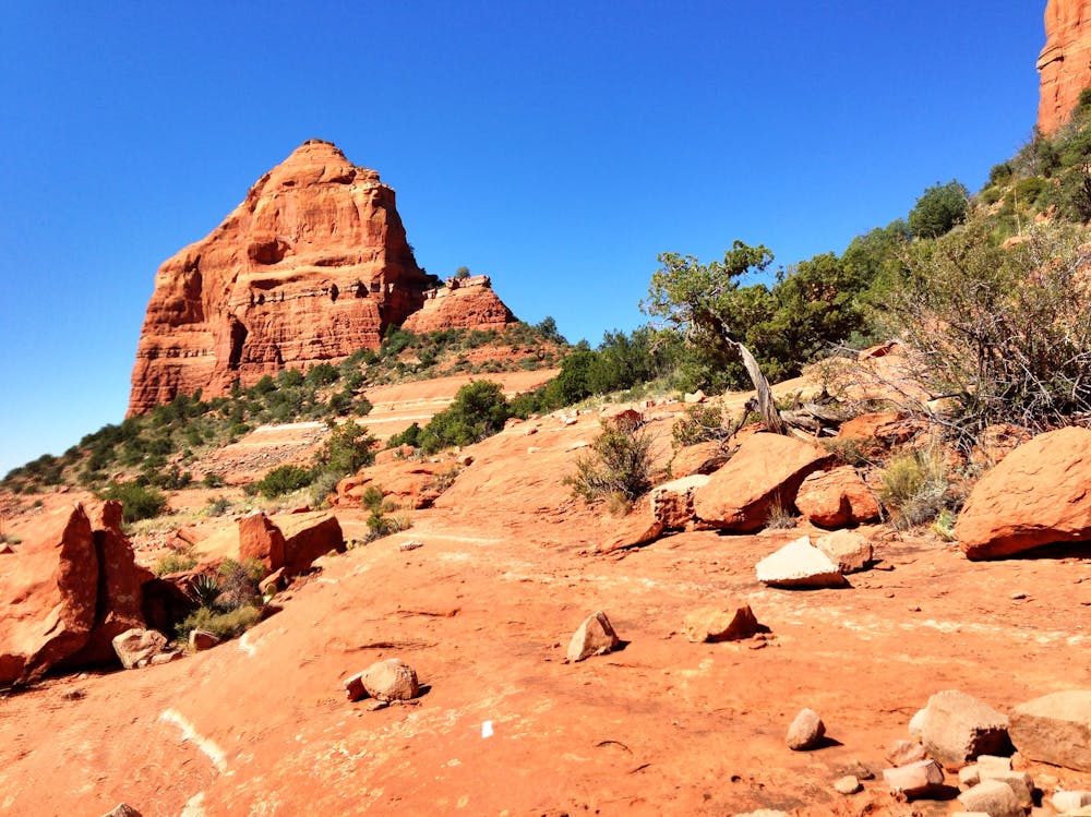
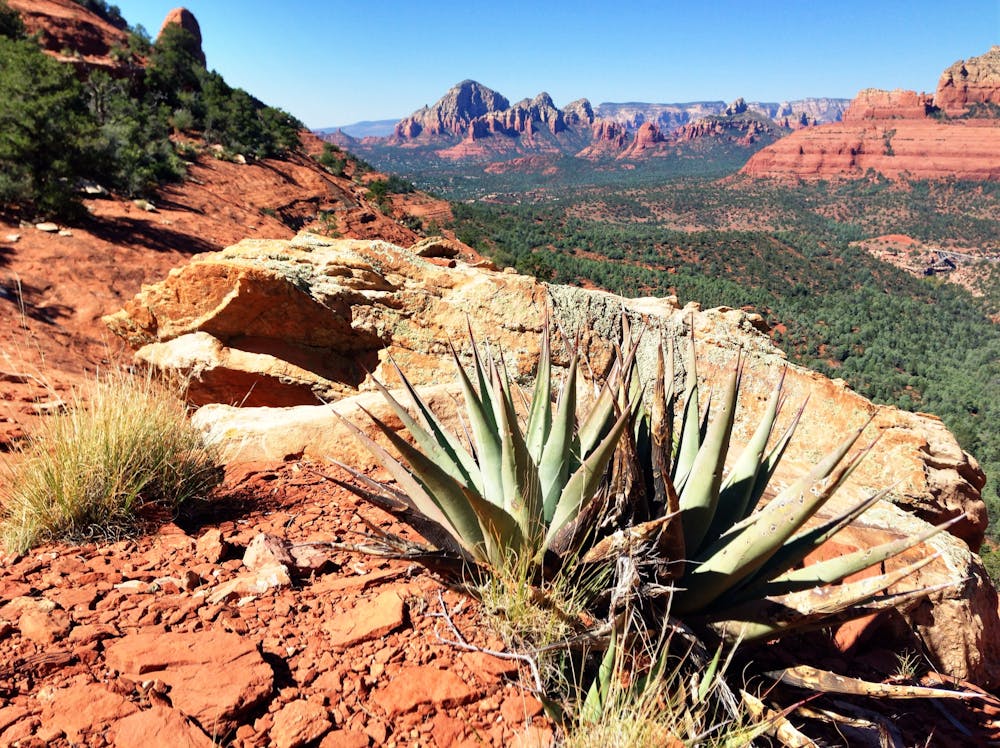
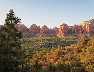
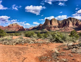
The trail begins with a climb up some slickrock humps. The trail then turns, skirting along a steep cliff band with serious exposure and consequences. After some harrowing riding, the trail eventually gains a unique saddle in the slickrock ridge, with beautiful views of the entire valley.

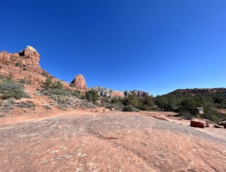
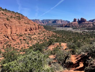
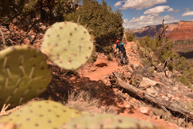
Once you've dropped down the steep backside of the saddle on exposed slickrock, the singletrack dives into the trees, hugging the side of the cliff face. While the trees make this section feel less exposed, one wrong slip of the tire and it's a long tumble down! In many places, the cliff overhangs the trail, hence the name "Hangover."

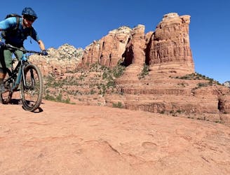
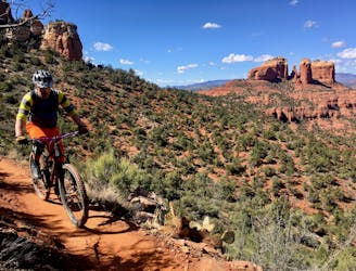
Hangover pops out of the trees and onto the front face of the ridge--and the most technical section of trail! Steep rock rolls and/or ledge drops cascade down the exposed slickrock face. One crash here could lead to a non-stop ragdoll tumble down the rock face. For less-skilled riders or those for whom the risk isn't worth the reward, there's no shame in walking this section.

Eventually the trail mellows back out, rolling down to the parking lot and the end of the route.

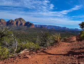
All told this isn't a long route, but the iconic views and technical riding in a seemingly-impossible location makes Hangover stand out from the crowd.

Difficulty

Extreme

Very steep, difficult, narrow singletrack with widely variable and unpredictable trail conditions. Unavoidable obstacles could be 15in/38cm tall or greater, and unavoidable obstacles with serious consequences are likely to be present. Obstacles could include big rocks, difficult root sections, drops, jumps, sharp switchbacks, and more. Ideal for expert-level riders.

Extreme Exposure

4 out of 4

Some trail sections are extremely exposed where falling will almost certainly result in serious injury or death.

Remoteness

2 out of 4

Away from help but easily accessed.

Best time to visit

between September and May

Features

  • Technical
  • Drops
  • Rock Rolls
  • Rock Slabs
  • Rock Gardens

Similar routes nearby

Guidebooks in this area