150 m away
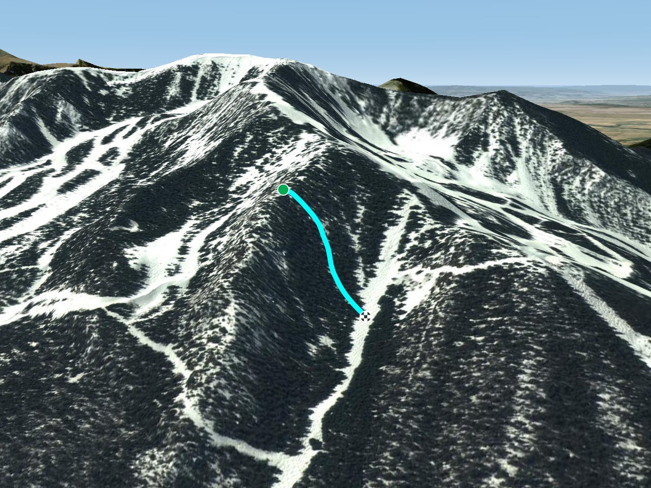
Werner Trib

A steep chute with trees and an open section.
Difficult Freeride Skiing
- Distance
- 203 m
- Ascent
- 0 m
- Descent
- 135 m
A steep line through trees and big rocks.
Freeride Skiing Severe
R and R is between Werner Chute and Pierre’s. Like Pierre’s, it can be sketchy at the top. It’s tight trees and lots of watching out for dead ends on big rocks. Once you get further into it, there are some great lines through the trees. The line finishes on Longhorn. Ski here with a buddy.
Severe
Steep skiing at 38-45 degrees. This requires very good technique and the risk of falling has serious consequences.

Little chance of being seen or helped in case of an accident.
150 m away
A steep chute with trees and an open section.
Difficult Freeride Skiing
313 m away
Steep trees with a fun drop at the exit.
Difficult Freeride Skiing
552 m away

A steep chute with trees.
Difficult Freeride Skiing
630 m away

Steep and technical chutes needing a lot of snow.
Severe Freeride Skiing
738 m away

A short glade.
Difficult Freeride Skiing
830 m away

A more difficult version of Whitefeather.
Easy Freeride Skiing
851 m away

A line that splits the skier's left of T-Bird Trees and High Somewhere.
Difficult Freeride Skiing
852 m away

A waterslide-like line through the trees which is not steep.
Moderate Freeride Skiing
925 m away

Tight and steep trees.
Severe Freeride Skiing
929 m away

Runs along a technical spine then spills into open skiing.
Severe Freeride Skiing