1.8 km away
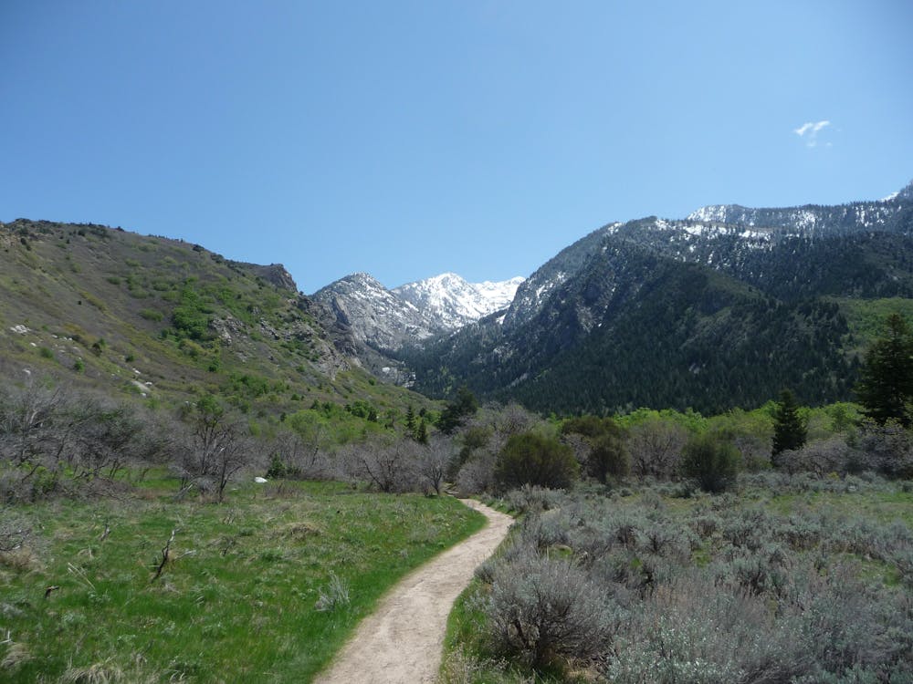
Little Cottonwood Canyon Trail
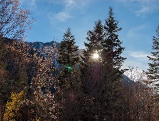
This 7 mile out and back trail covers moderate ground as it climbs along the creek for 1,700 feet.
Moderate Hiking
- Distance
- 7.2 km
- Ascent
- 542 m
- Descent
- 10 m
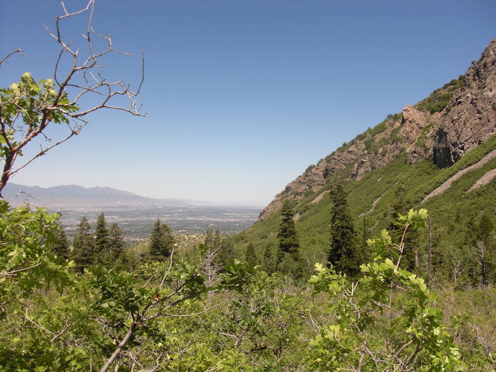
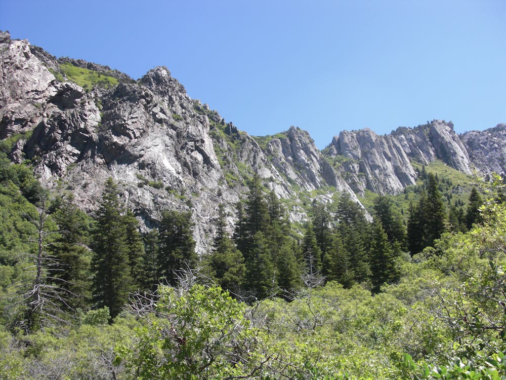
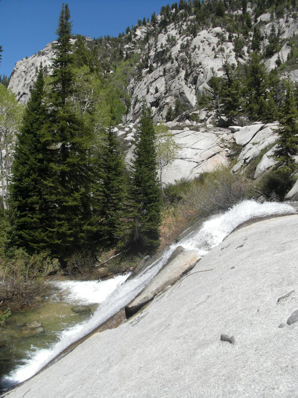
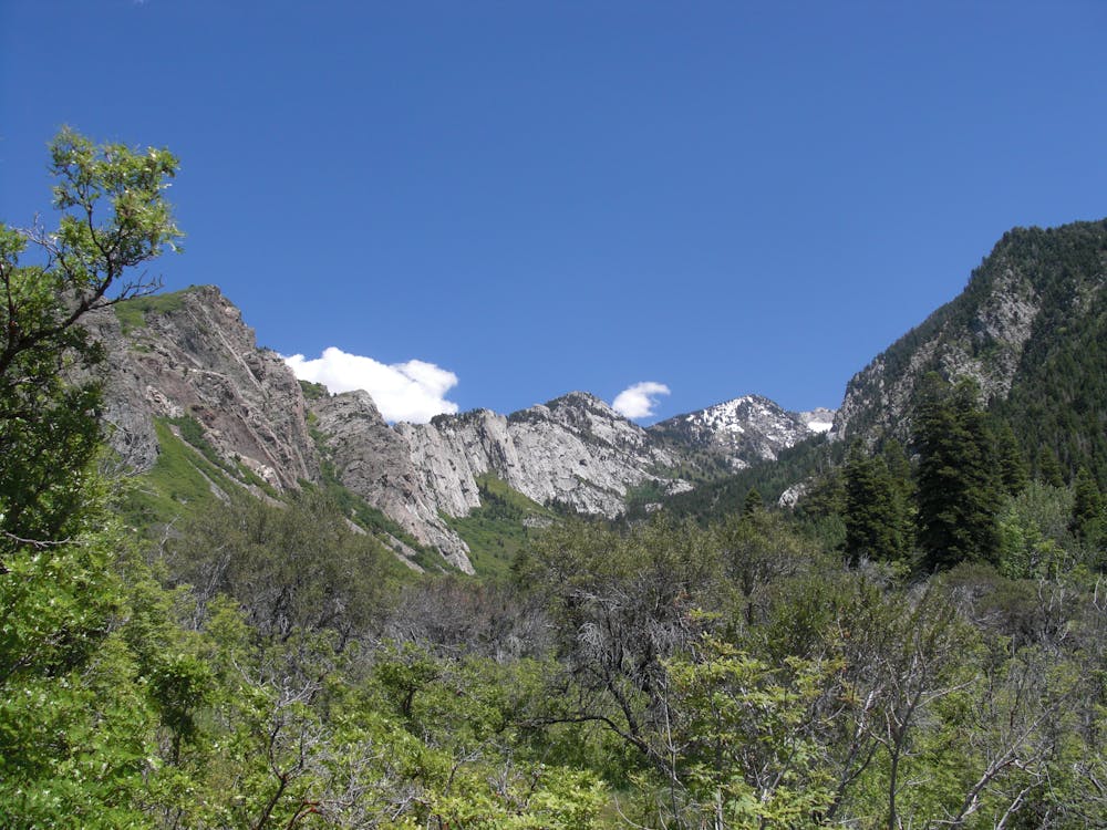
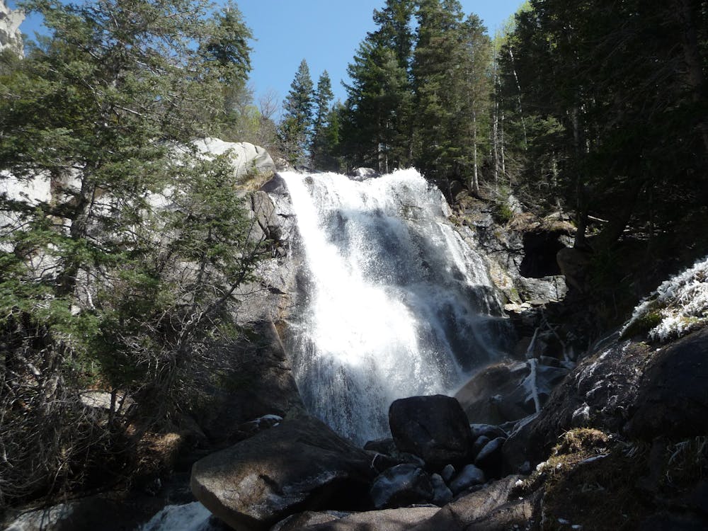
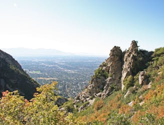
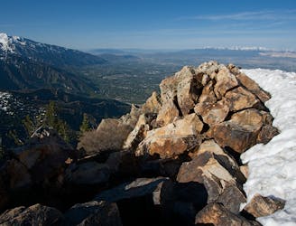
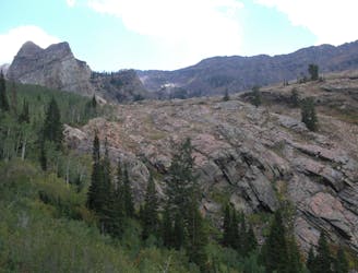
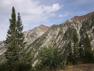
Bells Canyon is a very steep, long trail that takes you past beautiful waterfalls and into the rugged heart of the Wasatch Mountains.
Hiking Difficult

Bells Canyon trail is a Wasatch classic. You start right from the valley floor at the Granite Trailhead, pass by a beautiful reservoir, and enjoy a shady, steep hike along the water rushing down the canyon. One of the highlights, and often even the destination, is the lower waterfall. The two prominent waterfalls lower in the canyon draw a fair amount of traffic, but most people don't go beyond these attractions.
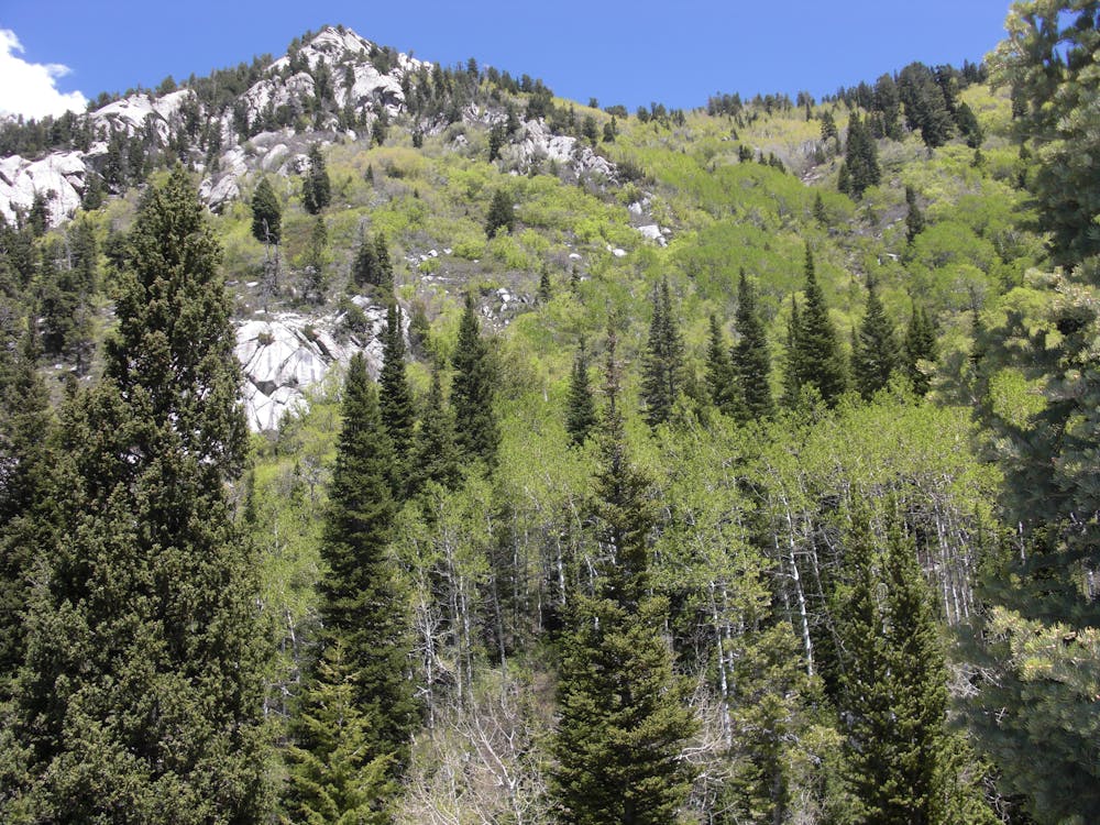
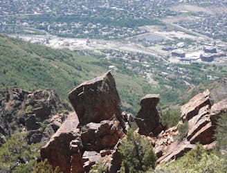
If you continue on you'll pop out into an upper meadow. From here, the trail crosses the stream and switches back through the woods, heading south.
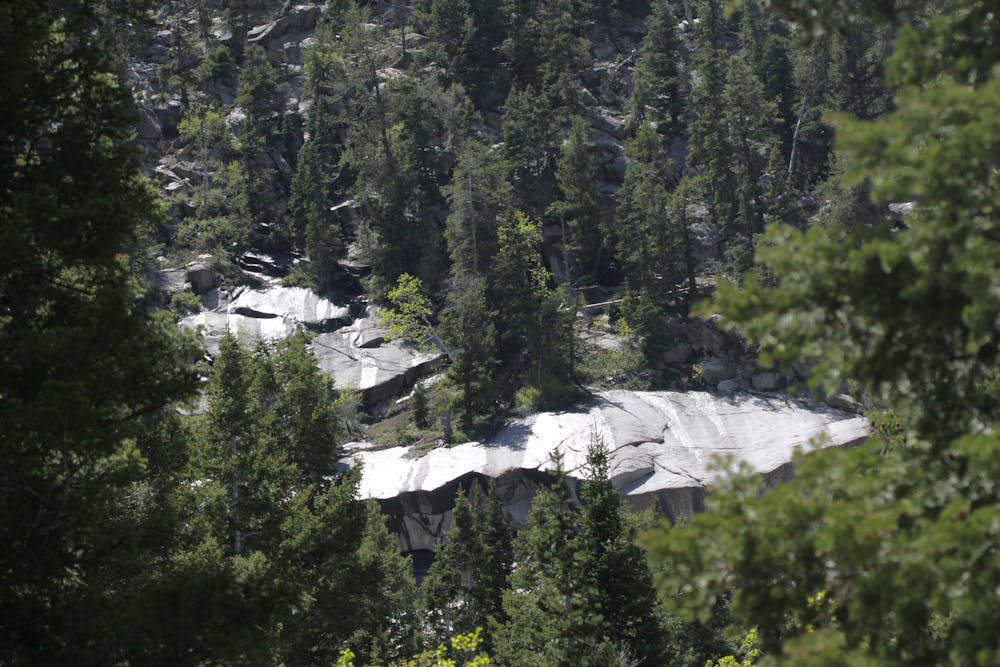
This trail will take you to the Upper Bells Canyon Reservoir and then into the upper basin beneath Lone Peak. It's very rugged and full of boulders, which makes following the trail difficult. Follow the rock cairns, or create your own route through the rocks.
The trail can be very wet from all the run-off in the spring months, so wear proper footwear.
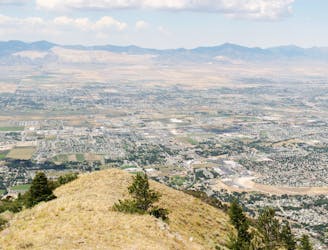
Difficult
Hiking trails where obstacles such as rocks or roots are prevalent. Some obstacles can require care to step over or around. At times, the trail can be worn and eroded. The grade of the trail is generally quite steep, and can often lead to strenuous hiking.
1.8 km away
This 7 mile out and back trail covers moderate ground as it climbs along the creek for 1,700 feet.
Moderate Hiking
4.3 km away
The Ferguson Canyon hike is a quick way to get out and away from the city.
Difficult Hiking
7.4 km away
Short and easy hike right out of the valley. Great place to walk the dog, or enjoy the waterfall that's in existence through the spring and early summer.
Moderate Hiking
8.8 km away
The effort on this unique and worthwhile hike puts you on top of one of the tallest and most dramatic peaks in the Wasatch Range.
Extreme Hiking
8.9 km away
Mount Olympus is one of the most visible and well known peaks along the Wasatch Front.
Extreme Hiking
9.2 km away
The mighty Twin Peaks are the most visible and prominent mountains in the Wasatch front.
Extreme Hiking
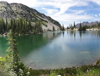
9.2 km away
This is a moderate hike that gains access to one of the most scenic lakes in the Wasatch.
Difficult Hiking
9.8 km away
White Pine trail is a classic moderate hike that follows an old jeep road high up into the central Wasatch to enjoy a quiet pristine lake in the rugged alpine landscape
Moderate Hiking
9.8 km away
This is a strenuous, but classic hike that contains a mix of shaded forrest and high alpine environments.
Extreme Hiking

10 routes · Hiking

10 routes · Hiking

10 routes · Alpine Climbing · Hiking