1 m away
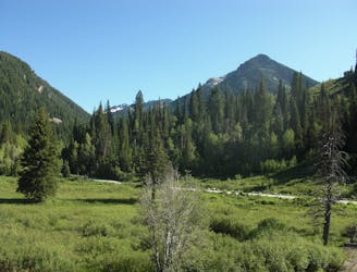
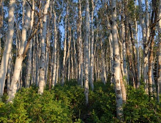
Desolation Lake
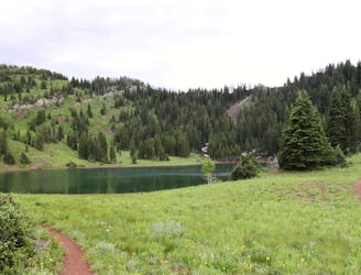
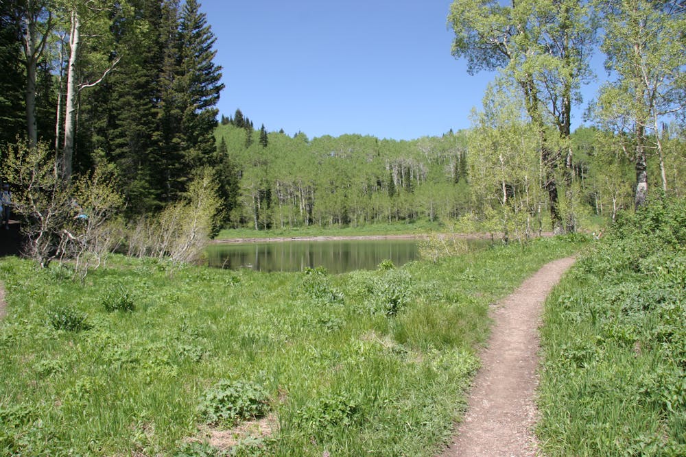
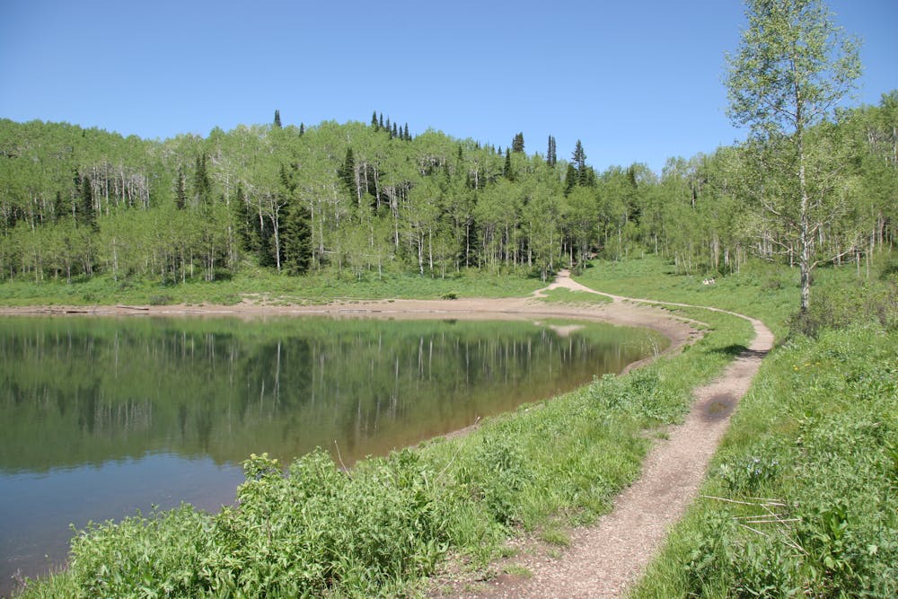
This is a lovely moderate hike through some large aspen groves reaching a quiet little lake.
Moderate Hiking
- Distance
- 12 km
- Ascent
- 606 m
- Descent
- 606 m
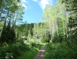
This is a short, moderate hike to one of the most popular lakes in the Wasatch through a nice wooded canyon.
Hiking Moderate

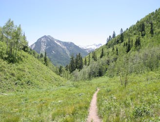
This hike to Dog Lake is a short and wooded trail of mostly easy angle except for one steep final climb to the lake. It climbs a little over 1000 feet in the 2 1/2 miles it takes to gain the lake.
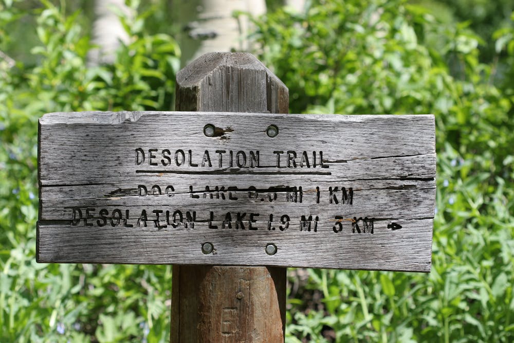
Park at the Mill D north parking lot on the north side of Big Cottonwood Canyon, about 8.8 miles up the road. The trail is well marked and well traveled. Hiking and mountain biking are allowed so keep an eye out for bikes coming down the trail. It starts out with a few switchbacks and then traverses around and into the canyon where it meets up with the creek. The trail parallels the creek and comes to a branch in the trail. Take the left (east) branch marked towards Dog Lake. The trail continues straight and steepens up a gully until it pops out at the lake.
Moderate
Hiking along trails with some uneven terrain and small hills. Small rocks and roots may be present.
1 m away
This is a lovely moderate hike through some large aspen groves reaching a quiet little lake.
Moderate Hiking
65 m away
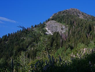
A very steep hike to one of the most prominent peaks in Big Cottonwood Canyon
Extreme Hiking
65 m away
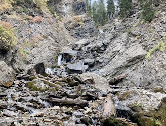
Scenic hike to a small waterfall in a narrow canyon.
Moderate Hiking
65 m away
This is an easy hike up an old road grade through a beautiful drainage lined by rugged alpine peaks.
Moderate Hiking
1.2 km away
This is a 7 mile loop with 2,000 feet of elevation that passes through thick woods and opens up with breathtaking views across the canyon.
Difficult Hiking
1.2 km away
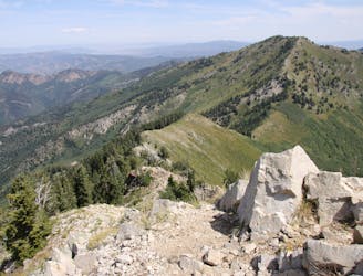
Mount Raymond is one of the tallest and most prominent peaks along the Big Cottonwood/Millcreek ridge.
Severe Hiking
1.2 km away

The trail up Gobblers Knob is a Wasatch classic that offers moderate hiking through aspen groves and into the open alpine.
Difficult Hiking
1.2 km away
The Days Fork trail is a little over 7 miles round trip with some good elevation gain through a heavily wooded canyon that opens up into the Alpine as you gain the Little Cottonwood Ridge.
Difficult Hiking
6.6 km away
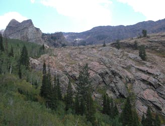
This is a moderate hike that gains access to one of the most scenic lakes in the Wasatch.
Difficult Hiking
6.6 km away
The mighty Twin Peaks are the most visible and prominent mountains in the Wasatch front.
Extreme Hiking

10 routes · Hiking

10 routes · Hiking

10 routes · Alpine Climbing · Hiking