1.9 km away
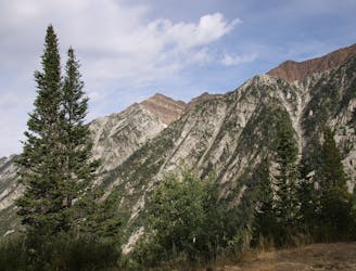
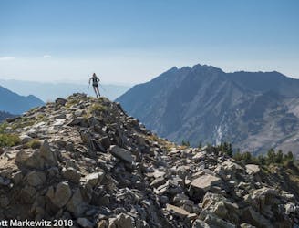
Pfeifferhorn Peak
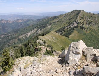
This is a strenuous, but classic hike that contains a mix of shaded forrest and high alpine environments.
Extreme Hiking
- Distance
- 15 km
- Ascent
- 1.2 km
- Descent
- 1.2 km
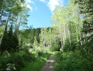
The hike up Hidden Peak is one of the least attractive in the Wasatch due to all the ugly road cuts and development from Snowbird ski area, but there is a restaurant up top and you can enjoy a ride down in the tram, which are nice features.
Hiking Difficult

Hidden Peak trail is a long and strenuous hike up through the many switchbacks and road cuts of Snowbird Resort. It's not a very scenic or wooded hike, but the views from the top are nice. This trail gains 3,000 feet of elevation in roughly 4 miles, staying on loose roads throughout.
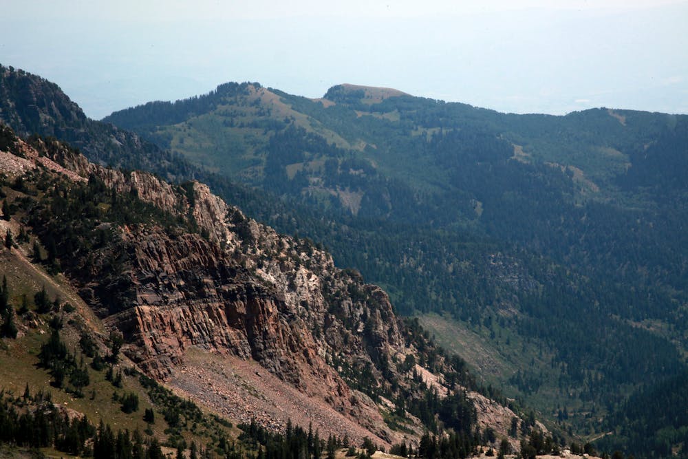
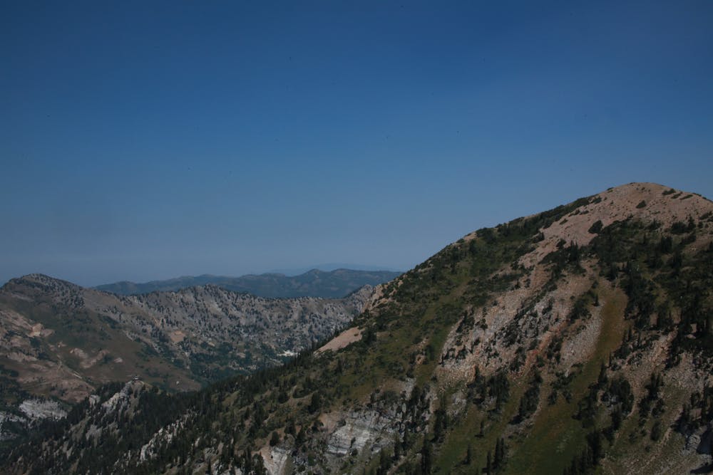
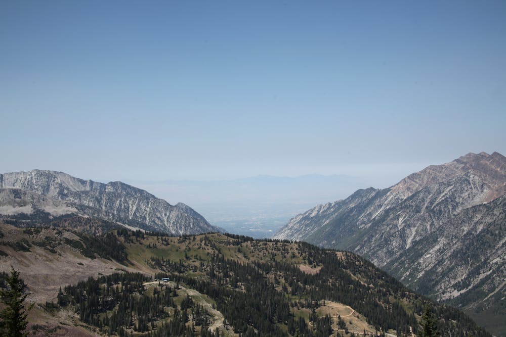
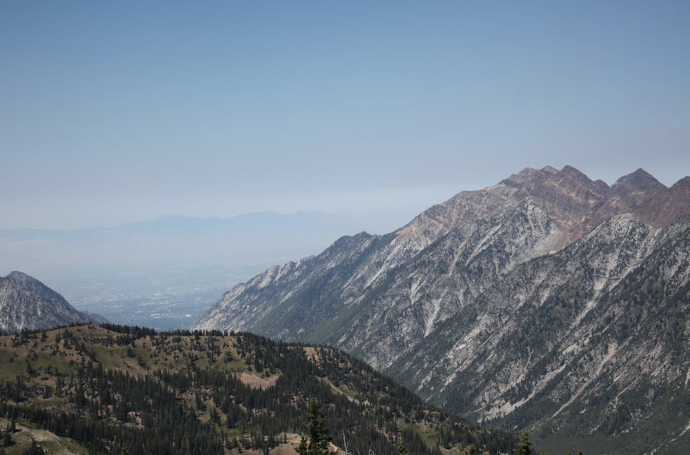
Drive up Little Cottonwood Canyon and take the exit for the tram at Snowbird Ski area. Park in the designated parking and walk through the gate across the bridge and continue up the dirt road toward the tram building. Before you get to the tram deck take the trail to your right on the well marked trail. This jeep road cuts across the hill and switches back in another long switchback and then cuts back in a much steeper road grade. Continue on the road as it works back and forth up the mountain resort. There are some upper variations with well marked trails, or you can stay on the road until it tops out at the peak where you'll most likely encounter large batches of tourists who rode the tram up. The tram is free to ride down if you wish to save your knees.
Difficult
Hiking trails where obstacles such as rocks or roots are prevalent. Some obstacles can require care to step over or around. At times, the trail can be worn and eroded. The grade of the trail is generally quite steep, and can often lead to strenuous hiking.
1.9 km away
This is a strenuous, but classic hike that contains a mix of shaded forrest and high alpine environments.
Extreme Hiking
2 km away
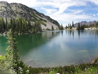
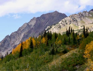
White Pine trail is a classic moderate hike that follows an old jeep road high up into the central Wasatch to enjoy a quiet pristine lake in the rugged alpine landscape
Moderate Hiking
2.2 km away
The most iconic and well-known peak in the Wasatch Mountains.
Severe Hiking
3.9 km away
A fun ridgeline traverse over Devils Castle to Sunset Peak at Alta Ski Area.
Extreme Hiking
3.9 km away
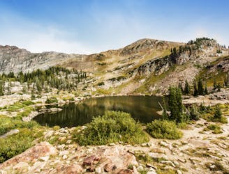
A short and family-friendly hike to a beautiful alpine lake
Moderate Hiking
3.9 km away
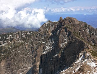
Hiking Devil's Castle is a difficult scramble on an iconic Wasatch peak high above Alta ski area.
Extreme Hiking
3.9 km away
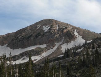
Sugarloaf is a simple and relatively easy hike to the top of one of the Wasatch mountains 11,000 foot peaks.
Moderate Hiking
6.6 km away
A mixed scramble, hike, and trail running loop in Big Cottonwood Canyon featuring Brighton Resort's Major Peaks
Extreme Hiking
7.2 km away
The Days Fork trail is a little over 7 miles round trip with some good elevation gain through a heavily wooded canyon that opens up into the Alpine as you gain the Little Cottonwood Ridge.
Difficult Hiking
7.8 km away
Mount Raymond is one of the tallest and most prominent peaks along the Big Cottonwood/Millcreek ridge.
Severe Hiking

10 routes · Hiking

10 routes · Hiking

10 routes · Alpine Climbing · Hiking