15 m away
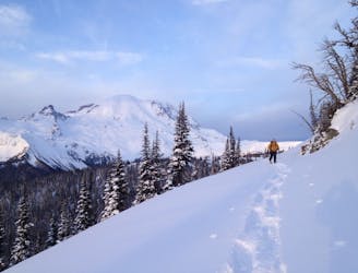
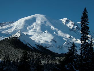
Liberty Ridge to Emmons Glacier Ski Descent on Mt. Rainier
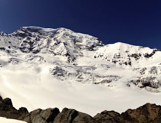
A classic ascent and pleasant ski descent!
Severe Ski Touring
- Distance
- 30 km
- Ascent
- 3.7 km
- Descent
- 3.7 km
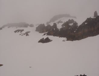
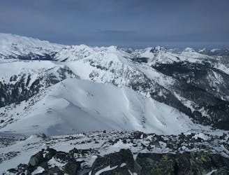
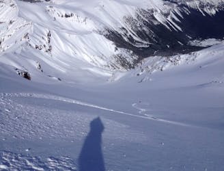
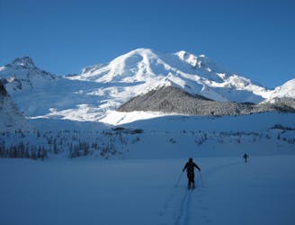
Heading from the Third Burroughs all the way to 410 through the Sourdough Range
Ski Touring Severe

If you are looking at the map and wondering if I’m crazy the answer if sometimes yes. Over the years I spent a lot of time within the Northeast side of Mount Rainier and always wanted to connect it down to 410. Doing this in Early May immediately after the White River road opened I was just itching to do a longer trip. This was a bit of a scouting mission as the second day there weren’t many descents but it was a fun trip nonetheless. It should be said that this late in the season there was no real avalanche danger and if there is this is not a safe route by any means. Since you are camping make sure to get a Permit from the White River Ranger Station.
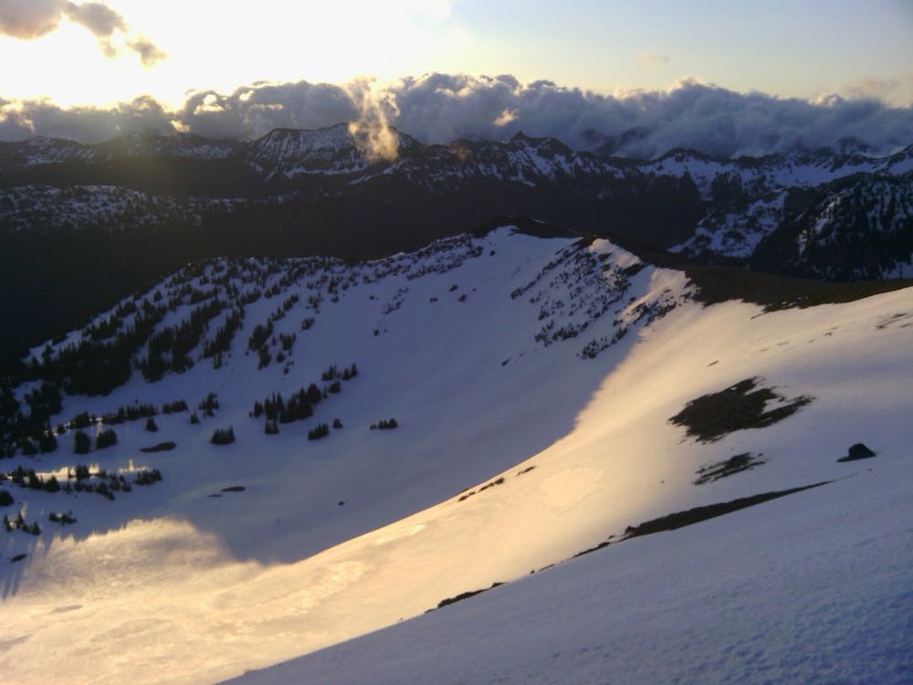
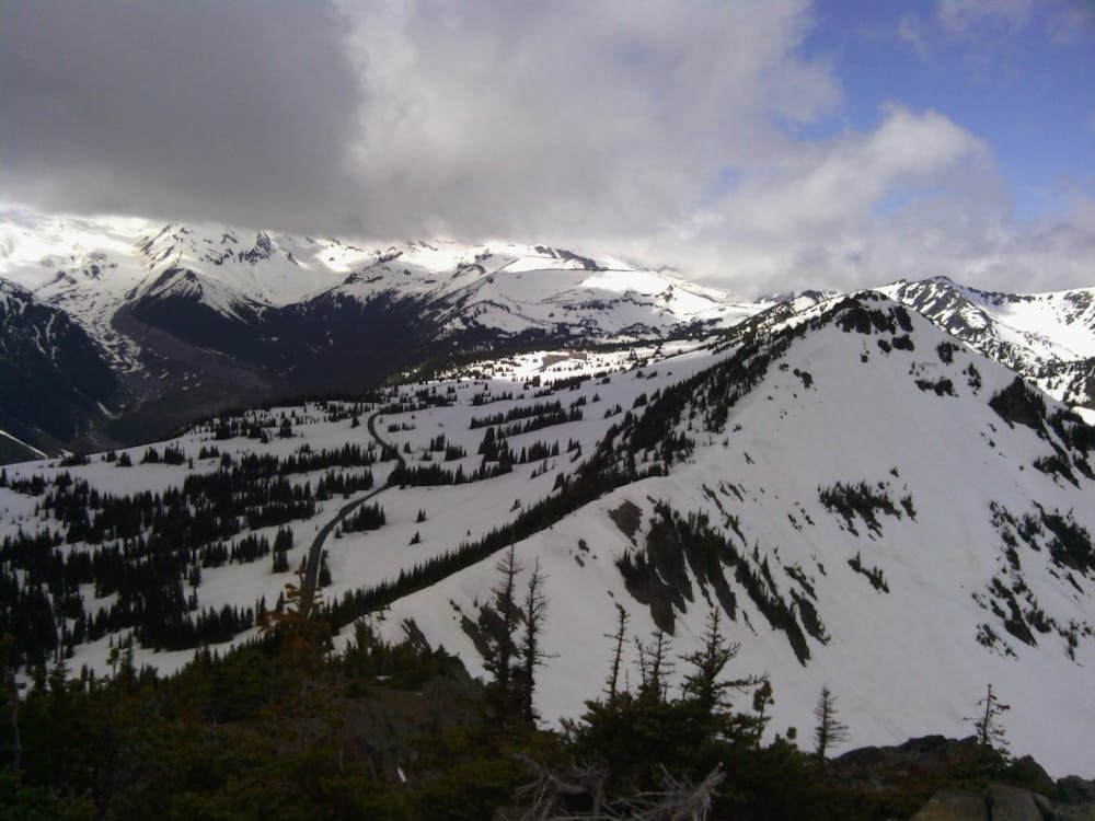
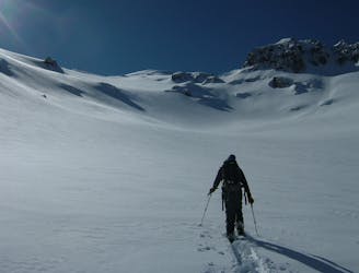
Leaving the White River Campground make your way west up the Glacier Basin Trail until it breaks off to the Sunrise trail. Start heading up through the trees and the moment it hits alpine leave the trail and kept heading up the basin until just below the summit of the Third Burroughs. If the snow allows put in a steep skin track (or just bootpack) all the way up to the summit. Once on top it is time for the first descent heading down the North bowl wrapping skiers right until arriving at the flats where it is time to transition. From here head Northeast until getting on the ridge which you can take all the way to the top of Skyscrapper Mountain.
Once on top of Skyscraper Mountain drop down a few feet before traversing around the west side and heading out to the northern point. From here you can descend the Northeast bowl all the way down to Lodi Creek. Now it is time to start climbing southeast up a side basin and once into the upper basin do a long and steep climb directly west until arriving on the Mount Fremont Summer trail where if looking for a nice break spot you can head over to the lookout.
Now that that sufferfest is out of the way it is time for round 2 of pain.
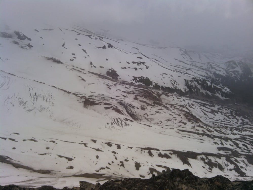
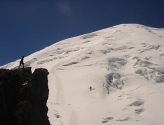
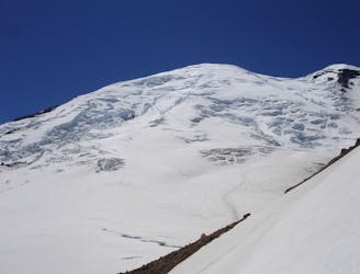
Leaving the Mount Fremont Lookout follow the summer trail down to Frozen Lake before putting on the skis and doing a long traverse past Sunrise. Once at the base of the Southern Slopes of Dege Peak make your way up to the summit. After riding down the Northeast slopes it is once again time for another long skin heading north through the low basins until arriving at Dick’s Lake Camp. From here start heading west up through Hidden lake Basin before heading North to the summit of the Pallisades. Dropping into the Northeast bowl it starts mellow then rolls over to an intimidating pitch. Being that when I was there it was late in the season I feared it didn’t go so I made my way South up and over a col where I was able to ride the Eastern Slopes down towards Upper Pallisades Lake.
Now it is time to head North on the high ridge passing Brown Peak and two other sub summits before reaching the third. Once there the Northeast Bowl is hard to pass up so descend down into the flats of the basin before heading up to the col just Northeast of Slide Mountain. Keep heading North until arriving at a high point with Doe Creek directly below you. Drop into the bowl but make sure to keep your speed and soon enough you will hit the Forest Road 7160. I was fortunate at the time as I had a friend waiting for me with a sled to bring me back down the road but if this isn’t an option just make your way down the road then all the way to 410.
To see my trip in the area and more photos check out this link https://www.whereiskylemiller.com/mt-rainier/sourdough/
Severe
Steep skiing at 38-45 degrees. This requires very good technique and the risk of falling has serious consequences.

As well as the slope itself, there are some obstacles (such as rock outcrops) which could aggravate injury.

In the high mountains or remote conditions, all individuals must be completely autonomous in every situation.
15 m away
A classic ascent and pleasant ski descent!
Severe Ski Touring
28 m away
Making the most out of the alpine terrain within the Sourdough Mountains
Severe Ski Touring
33 m away
Another great south facing line within Glacier Basin
Difficult Ski Touring
35 m away
Linking together two great lines during a single ski tour
Difficult Ski Touring
36 m away
Climbing up the Emmons and descending down the Interglacier in powder
Difficult Ski Touring
85 m away
Making the most out of a spring weekend
Difficult Ski Touring
116 m away
Heading up Glacier Basin to Snowboard the Interglacier in powder conditions
Difficult Ski Touring
194 m away
Descending down the Emmons Glacier on Mount Rainier
Difficult Ski Touring
195 m away
Linking together the two nicest lines in Glacier Basin
Difficult Ski Touring
195 m away
Mid Winter trip up the lower slopes of the Emmons Glacier
Moderate Ski Touring

9 routes · Ski Touring
6 routes · Ski Touring
5 routes · Ski Touring