8 m away
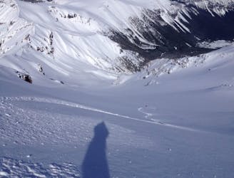
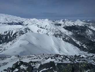
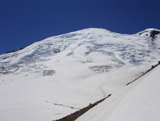
Subsummit of the Third Burroughs
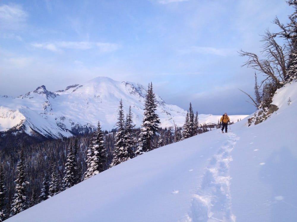
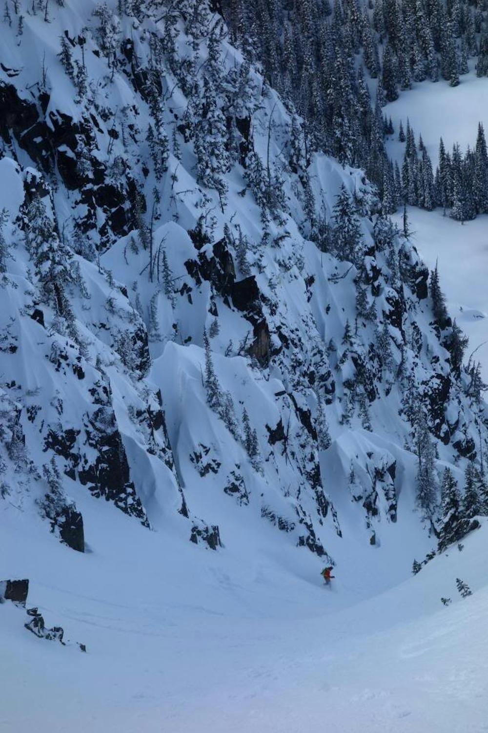
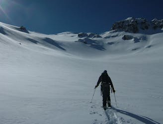
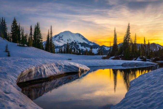
Another great south facing line within Glacier Basin
Difficult Ski Touring
- Distance
- 13 km
- Ascent
- 1.1 km
- Descent
- 1.1 km
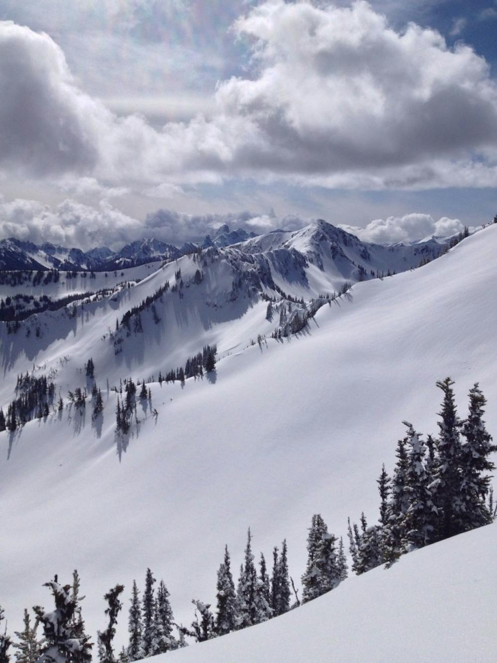
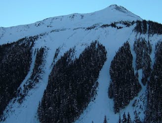
Making the most out of the alpine terrain within the Sourdough Mountains
Ski Touring Severe

If you’ve ever been to Crystal Mountain on a clear day and looked across the valley at the open alpine bowls and wondered what they are like this is the trip for you. The Sourdough region is an alpine gem with numerous different peaks with enough aspects that people with all ranges of experience could enjoy. Like many Crystal Mountain locals I had dreamed of this trip for years looking at the maps and scouting the area in the Summer. The description below is for a mission we did Mid winter but it still applies when both White River and Sunrise open.
Leaving the snowpark at the base of Crystal Mountain Boulevard snowmobile the 16 miles up to White River Campground. Starting there make your way North up the Wonderland trail heading towards Sunrise Visitor Center. This is a super easy trail to follow when in the forest but near the top it gets technical for a few minutes. Once you pass the creek you need to take your skis off and start bootpacking on the lookers right. While it is only around 100 feet it is draining but before long you are back on the flats and heading towards the Sunrise Visitor Center.
Standing at the Sunrise Parking lot start heading East on the snow covered road. You will pass by numerous small summits but once on the southern slopes of Dege Peak climb up to gain the summit. Looking to the East you will see the obvious Northeast ramp which goes into the basin which is finally your first turns of the trip. Dropping into the flats start heading North slowly gaining elevation until you are right below the ridge. Heading up to the ridge and drop into another sweet Northeast facing slope. By now you have ticked off two lines but still aren’t even halfway through the trip.
Transitioning at the open alpine flat you need to head directly west up to a small col before heading north along the ridge. Standing on top you will have the third sweet northeast facing bowl where you need to ride down to the flat and open basin at 5,500 feet. From here on the route gets a bit more complex as you wrap around Marcus Peak and just before you hit Dick’s Lake Camp start climbing west up the main drainage. Passing by Hidden Lake keep heading west over the low col before heading north to gain the summit of the Pallisades. Standing on the high point descend into the Northeast bowl which starts out nice and mellow. When the terrain rolls over to the north you will find a steep chute that goes all the way to the valley below.
It’s already been a long day so far but you still have a ways to go as you transition on the flats and climb west over the low northern Ridge of the Pallisades and descend into the valley. Now you need to start heading South up the valley towards the top of Marcus Peak where just below the summit ride Southwest to the valley below. Follow the main drainage South and once in the alpine bowl head skiers right to the summit between Antler and Dege Peaks. From the top drop into the South slopes and start doing a hard traverse skiers right. The moment you hit the road switch over to skinning and start heading west towards the Sunrise visitor center. We decided to camp here as it was a brutally long tour but if you needed to get back to White River I would just follow the Wonderland Trail back down.
While reading that was a bit confusing I promise the trip itself is even More Confusing.
To see my trip in the area and more photos check out this link https://www.whereiskylemiller.com/mt-rainier/sunrise-sourdoughs-traverse/
Severe
Steep skiing at 38-45 degrees. This requires very good technique and the risk of falling has serious consequences.

As well as the slope itself, there are some obstacles (such as rock outcrops) which could aggravate injury.

Little chance of being seen or helped in case of an accident.
8 m away
Another great south facing line within Glacier Basin
Difficult Ski Touring
11 m away
Climbing up the Emmons and descending down the Interglacier in powder
Difficult Ski Touring
13 m away
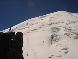
A classic ascent and pleasant ski descent!
Severe Ski Touring
28 m away
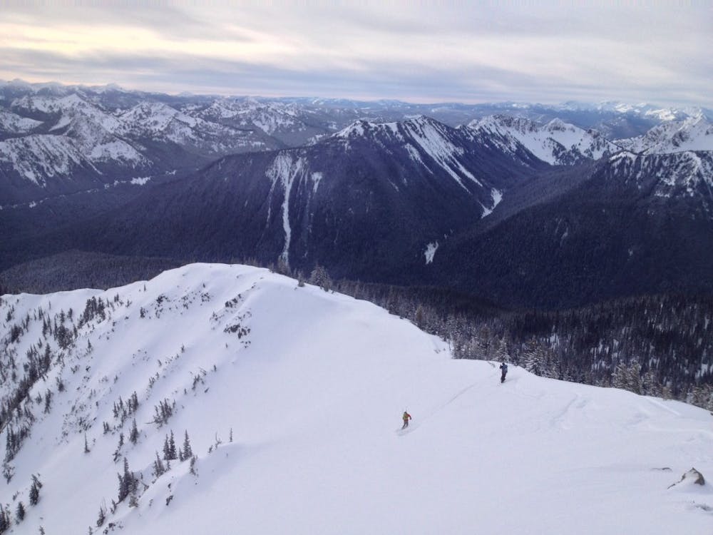
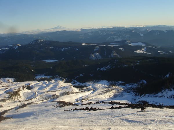
Heading from the Third Burroughs all the way to 410 through the Sourdough Range
Severe Ski Touring
63 m away
Linking together two great lines during a single ski tour
Difficult Ski Touring
92 m away
Heading up Glacier Basin to Snowboard the Interglacier in powder conditions
Difficult Ski Touring
112 m away
Making the most out of a spring weekend
Difficult Ski Touring
170 m away
Linking together the two nicest lines in Glacier Basin
Difficult Ski Touring
171 m away
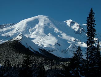
Descending down the Emmons Glacier on Mount Rainier
Difficult Ski Touring
174 m away
The amazing and terrifying North Swaths of Goat Island Mountain
Severe Ski Touring

9 routes · Ski Touring
6 routes · Ski Touring
5 routes · Ski Touring