5 m away
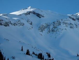
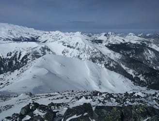
Goat Island Mountain
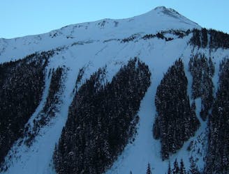
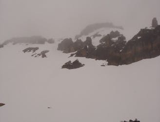
The amazing and terrifying North Swaths of Goat Island Mountain
Severe Ski Touring
- Distance
- 12 km
- Ascent
- 1.1 km
- Descent
- 1.1 km
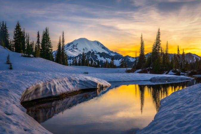
Linking together the two nicest lines in Glacier Basin
Ski Touring Difficult

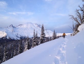
Linking together Mount Ruth and the Interglacier is a great way to make the most out of the terrain within Glacier Basin. Being that this zone starts around 6,000 feet it holds snow well after the White River Road opens to the public. While this tour can be done in a single day in my opinion it is nicer to camp in Glacier Basin before setting out early in the morning. Since both of these have a Northeast aspect they are some of the first lines to receive sun in Spring. While the Interglacier is an open slope from top to bottom, Ruth Mountain starts mellow before dropping into a choke point. Be cautious with Ruth as it is a terrain trap so it should be done before solar noon or after the line retreats back into the shade. Since this is a camping trip make sure to grab permits from the White River Ranger Station
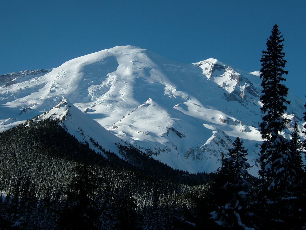

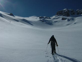
The Moment the White River road is open to the Campground it is time to make the most out of it. If early enough you can still skin up the Glacier Basin trail but most of the time you will have to hike until getting into the upper basin that holds snow much longer. Once in the alpine start making your way south climbing up to the ridge that divides Glacier Basin and the Emmons. From here it is an easy and direct climb following the ridge all the way to the summit of Mount Ruth.
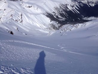
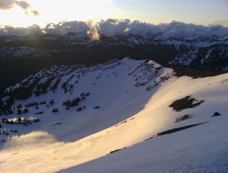
Standing on top of Mount Ruth you will notice an obvious gully that starts off heading North, this is where you want to go. As you start descending the route will switch angles heading a bit more East the further you head down. Before long you will be standing on top of a roller. If you make a hard skiers right traverse you will find a nice and open chute to the valley below. Drop in one at a time before making a hard traverse to the skiers left which will bring you a bit higher into the basin.
Now that you have the first line out of the way it is time to start climbing up the main outflow of Glacier Basin towards the Interglacier. By late Spring there should be a well established bootpack heading all the way up to Steamboat Prow. It is up to you wether you want to skin or just follow the other steps. It all comes down to if you want your gear on your backpack or under your feet but in my opinion most of the time just walking up is a bit faster. If the slopes are firm you should wear crampons but it is not always necessary.
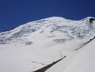
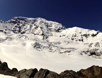
After climbing the well established trail up to the high ridge it will head down to the Emmons but you want to keep on climbing. Before long you will be standing on top of Steamboat Prow where you have almost 4,000 vertical feet of open slopes below you. Now it is time to ride down one of the nicer lines in Mount Rainier National Park all the way to Glacier Basin. Once in the lower valley keep your speed and if the creek is melted out stick to the skiers left side.
The exit is the same as the approach following the Glacier Basin trail all the way back to the White River Campground.
To see my trip in the area and more photos check out this link https://www.whereiskylemiller.com/mt-rainier/mount-ruth-interglacier/
Difficult
Serious gradient of 30-38 degrees where a real risk of slipping exists.

As well as the slope itself, there are some obstacles (such as rock outcrops) which could aggravate injury.
Away from help but easily accessed.
5 m away
The amazing and terrifying North Swaths of Goat Island Mountain
Severe Ski Touring
11 m away
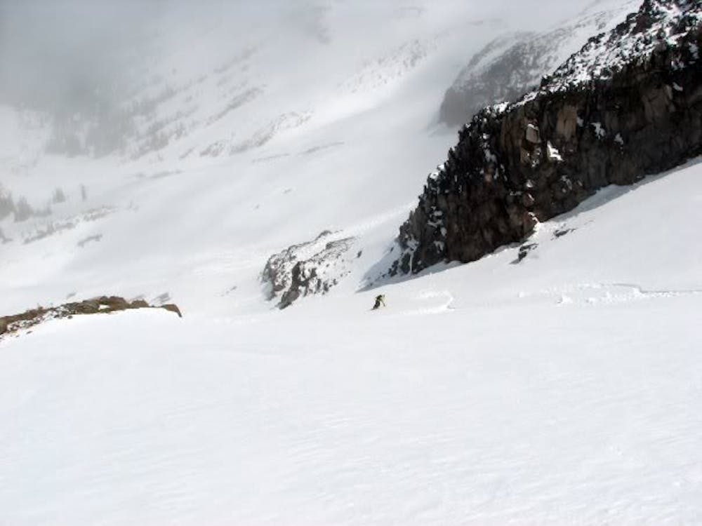
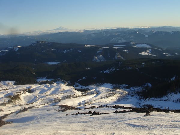
Ski touring on the east side of Mount Rainier in December
Difficult Ski Touring
14 m away
Descending down the Emmons Glacier on Mount Rainier
Difficult Ski Touring
79 m away
Heading up Glacier Basin to Snowboard the Interglacier in powder conditions
Difficult Ski Touring
160 m away
Climbing up the Emmons and descending down the Interglacier in powder
Difficult Ski Touring
163 m away
Another great south facing line within Glacier Basin
Difficult Ski Touring
170 m away
Making the most out of the alpine terrain within the Sourdough Mountains
Severe Ski Touring
181 m away
A classic ascent and pleasant ski descent!
Severe Ski Touring
195 m away
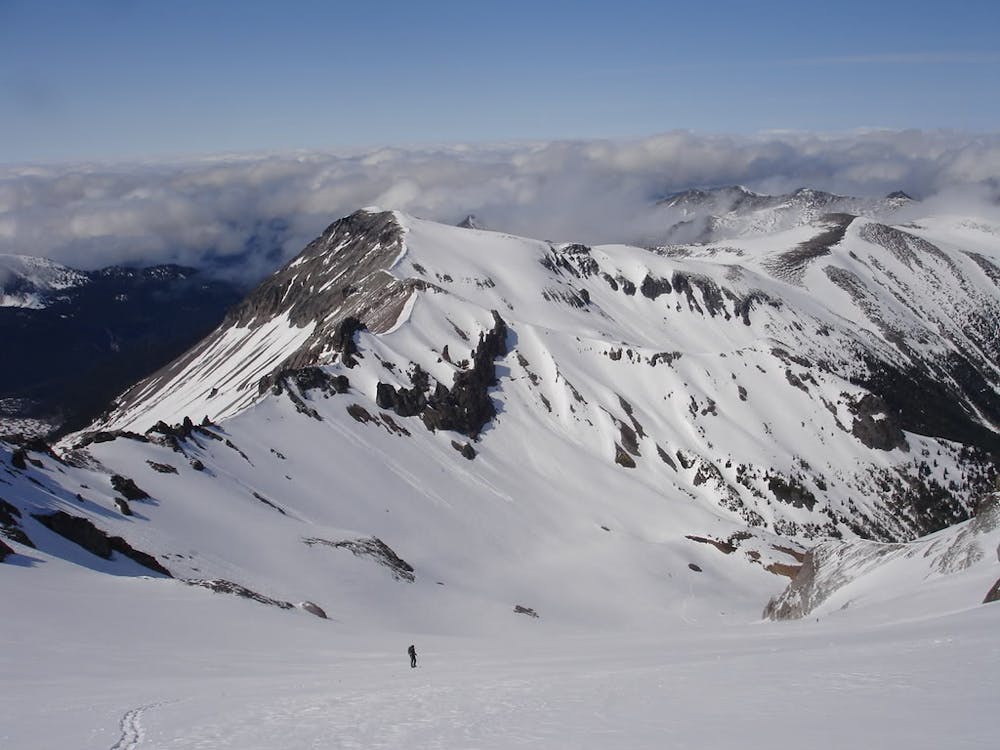
Heading from the Third Burroughs all the way to 410 through the Sourdough Range
Severe Ski Touring
229 m away
Linking together two great lines during a single ski tour
Difficult Ski Touring

9 routes · Ski Touring
6 routes · Ski Touring
5 routes · Ski Touring