79 m away
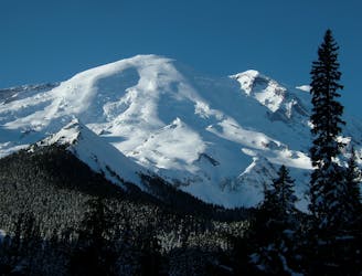
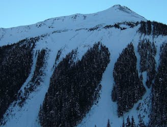
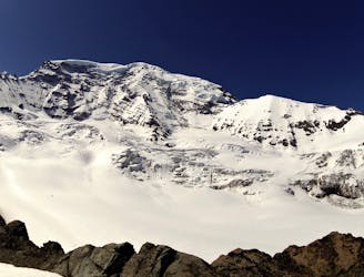
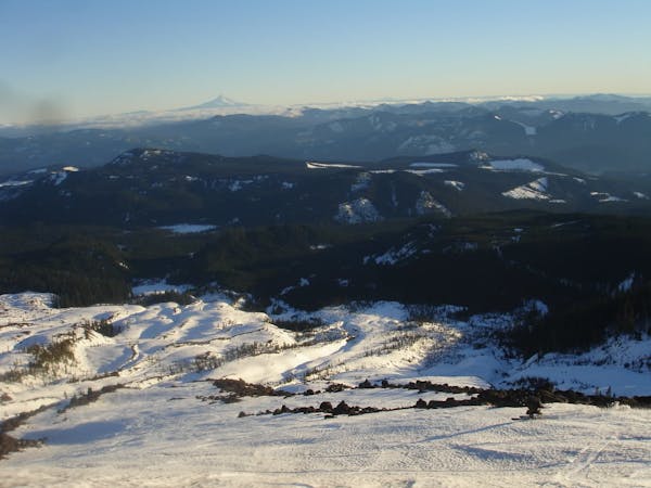
Mount Ruth and the Interglacier
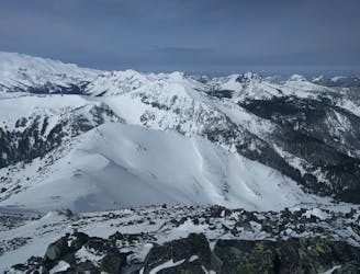
Linking together the two nicest lines in Glacier Basin
Difficult Ski Touring
- Distance
- 21 km
- Ascent
- 2.4 km
- Descent
- 2.4 km
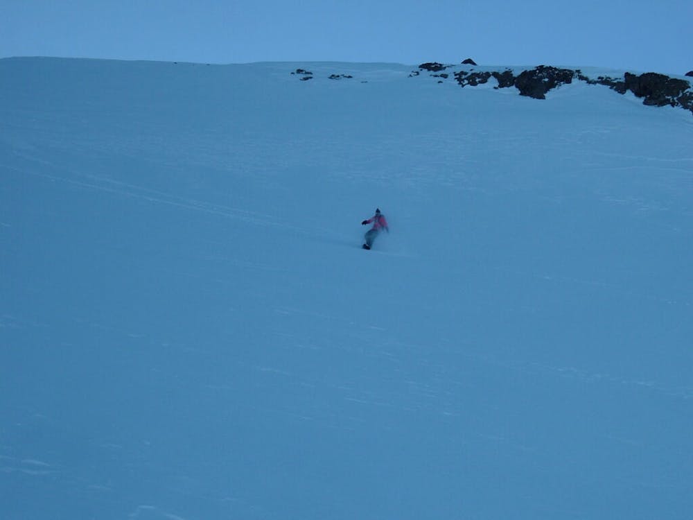
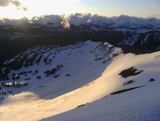
Heading up Glacier Basin to Snowboard the Interglacier in powder conditions
Ski Touring Difficult

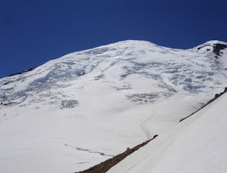
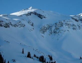
The Interglacier is one of if not the biggest line within the Southern Cascades without being on the summit of a volcano. Starting at 9,700 feet this lines has 3,000 feet of fall line turns before even seeing a tree. Add to that since it is Northeast facing this area normally gets loaded with snow because of both its proximity to the summit and with a bit of wind it loads up with snow from the Emmons or Winthrop Glaciers. While this trip was during early Spring you can still find great turns here all the way until late July.
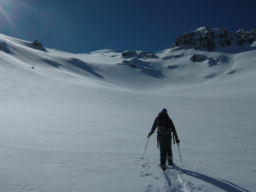
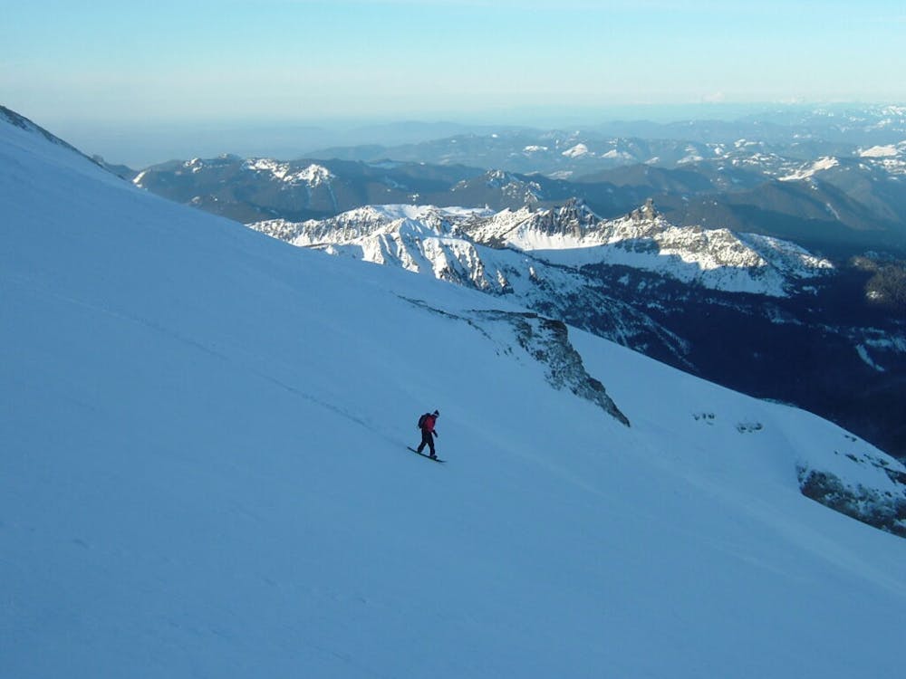
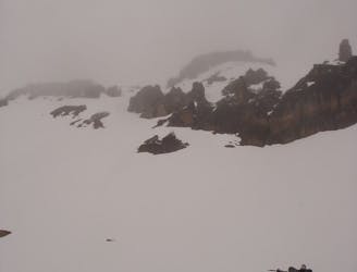
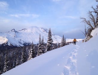
Leaving from the Snowpark at the base of Crystal Mountain Boulevard snowmobile 16 miles up the road until arriving at the White River Campground. From here you need to make your way up the Glacier Basin trail where if the snowpack is deep you can wrap around the final hill and cross the Intercreek before skinning into Glacier Basin. Now just keep heading west up the basin before wrapping to the southwest. The moment the valley turns you are standing at the base of the Interglacier. The first few hundred feet are the steepest as you make a few well placed switchbacks but before long the slope mellows out. Keep gaining elevating by heading south and soon enough you will spot the summit ridge. The best way to get up top is to gain the ridge before taking the final steps and standing on top of Steamboat Prow.
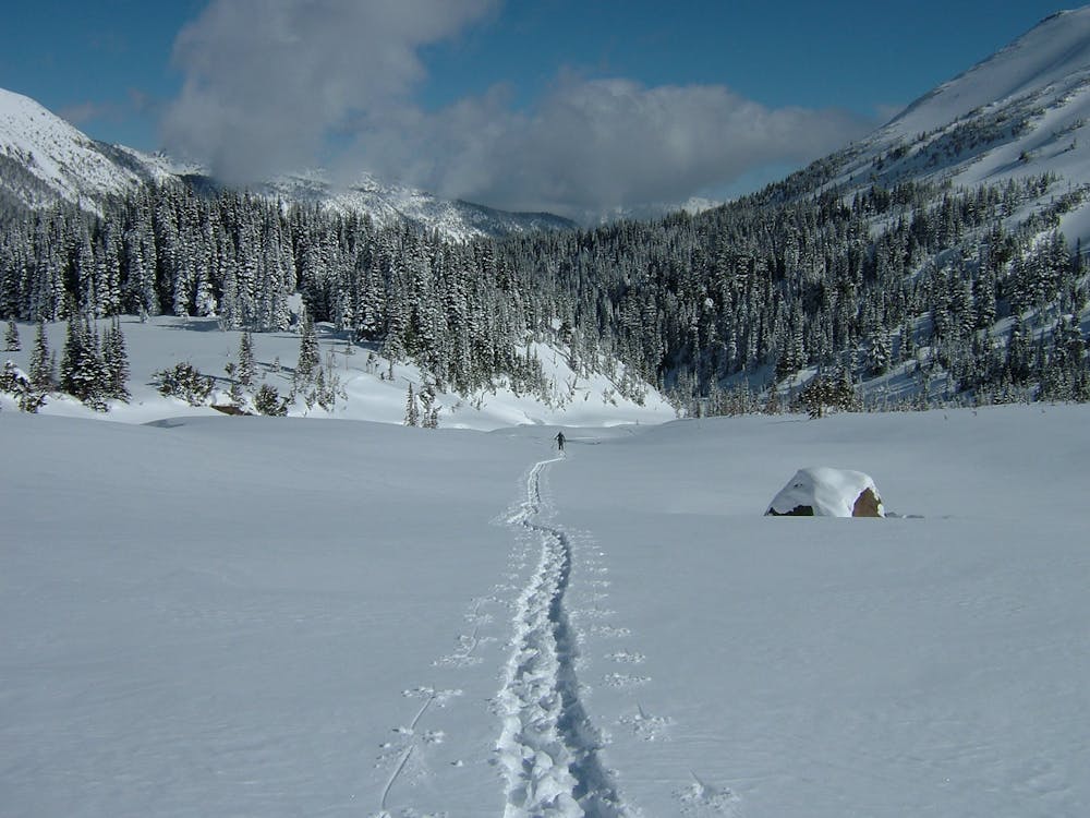
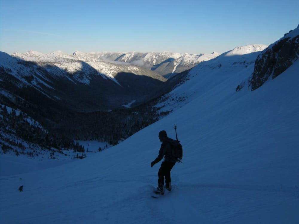
No matter wether it is in powder conditions or spring corn it is a great ride back down into the valley. Being that this line is so big it could hold numerous groups of people with no fear of running into other peoples tracks. Riding down into the basin make sure to keep up your speed as the slopes quickly mellow out. If you were lucky enough you can ride all the way down to where you crossed the stream. From here on out just follow the Glacier Basin trail where a skier doesn’t need to take of his skis but snowboards will have a handful of sections where you need to walk. Soon enough you will be back at the White River Campground and if you used a snowmobile there is a good chance you will be riding back out in the dark.
To see my trip in the area and more photos check out this link https://www.whereiskylemiller.com/mt-rainier/interglacier-in-early-spring/
Difficult
Serious gradient of 30-38 degrees where a real risk of slipping exists.

As well as the slope itself, there are some obstacles (such as rock outcrops) which could aggravate injury.

Little chance of being seen or helped in case of an accident.
79 m away
Linking together the two nicest lines in Glacier Basin
Difficult Ski Touring
79 m away
Descending down the Emmons Glacier on Mount Rainier
Difficult Ski Touring
81 m away
Climbing up the Emmons and descending down the Interglacier in powder
Difficult Ski Touring
82 m away
The amazing and terrifying North Swaths of Goat Island Mountain
Severe Ski Touring
85 m away
Another great south facing line within Glacier Basin
Difficult Ski Touring
89 m away
Ski touring on the east side of Mount Rainier in December
Difficult Ski Touring
92 m away
Making the most out of the alpine terrain within the Sourdough Mountains
Severe Ski Touring
102 m away
A classic ascent and pleasant ski descent!
Severe Ski Touring
116 m away
Heading from the Third Burroughs all the way to 410 through the Sourdough Range
Severe Ski Touring
151 m away
Linking together two great lines during a single ski tour
Difficult Ski Touring

9 routes · Ski Touring
6 routes · Ski Touring
5 routes · Ski Touring