58 m away
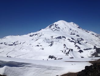
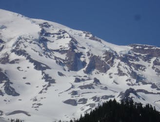
Muir Snowfield
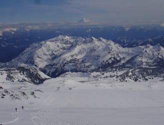
The Birthplace of Turns All Year
Moderate Ski Touring
- Distance
- 14 km
- Ascent
- 1.5 km
- Descent
- 1.5 km
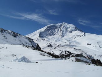
One of the longest skiable descents in North America
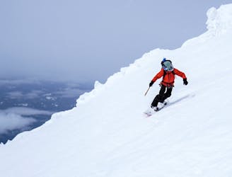
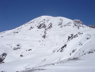
Ski Touring Severe

A must-do for any passionate ski mountaineer. Provides all the objective hazards of high alpine ski mountaineering, while sparing the altitude. Best skied in late spring and early summer while the snowpack is still deep and crevasses are deeply buried and freeze-thaw cycles provide quality corn skiing.
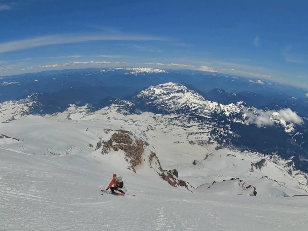
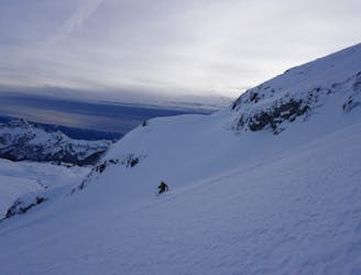
Severe
Steep skiing at 38-45 degrees. This requires very good technique and the risk of falling has serious consequences.

In case of a fall, death is highly likely.

In the high mountains or remote conditions, all individuals must be completely autonomous in every situation.
58 m away
The Birthplace of Turns All Year
Moderate Ski Touring
70 m away
One of the most classic and longest ski descents in North America!
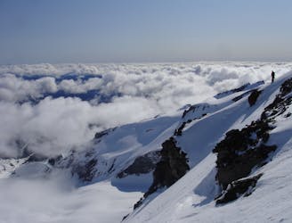
Severe Ski Touring
70 m away
One of the longest continuous ski descents in the continental US!
Severe Ski Touring
359 m away
A 4 day traverse through Mount Rainier National Park
Difficult Ski Touring
410 m away
A stunning Southwest-facing line onto the Nisqually Glacier
Moderate Ski Touring
417 m away
Two separate zones within a single ski tour
Moderate Ski Touring
418 m away
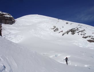
Riding down a stunning line within view of the Muir Snowfield
Severe Ski Touring
447 m away
A classic ski descent off the southern summit of Mount Rainier
Severe Ski Touring
454 m away
A multiday traverse exploring some seldom traveled areas within the park
Severe Ski Touring
455 m away
A great alternative to the Muir Snowfield
Moderate Ski Touring

9 routes · Ski Touring

11 routes · Ski Touring