31 m away
The Fryingpan Loop
Riding the Banshee Couloir, Cowlitz Chimney and Tamanos Mountain in a single day
Difficult Ski Touring
- Distance
- 16 km
- Ascent
- 2.3 km
- Descent
- 2.3 km
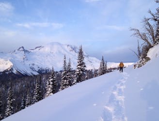
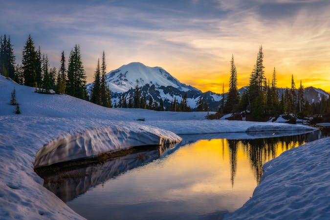
Exploring the east side of Mount Rainier in winter
Ski Touring Difficult

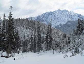
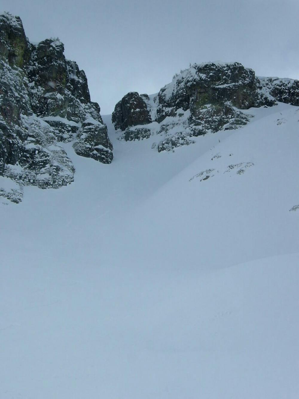
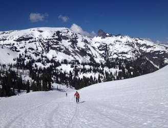
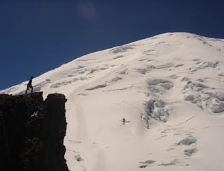
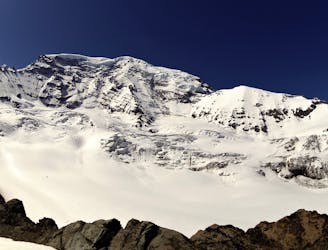
The Sarvant Glacier area is possibly one of the list visited places within Mount Rainier National Park. Being that there are no trails going within the Wright Creek area during the late Spring your access would have to be from Fryingpan Gap. My experiences have been during the dead of Winter so heading up the valley was the easy part, crossing Fryingpan Creek was always the crux. But with enough snow and a little bit of luck we were always able to find a way and as a reward we would have wide open North facing slopes with a whole valley all to ourselves. Below is the description of our experience heading into this isolated area.
Like everything based off of the White River during the winter we would start our trip at Crystal mountain Boulevard before arriving at Fryingpan Creek. Making our way onto the Fryingpan Creek trail after a few minutes we would skin over to the banks of the river and start looking for the best route across. Usually there was a fallen tree that would make a nice bridge then a few well placed jumps and before long the stress was over and we would be on the Eastern side.
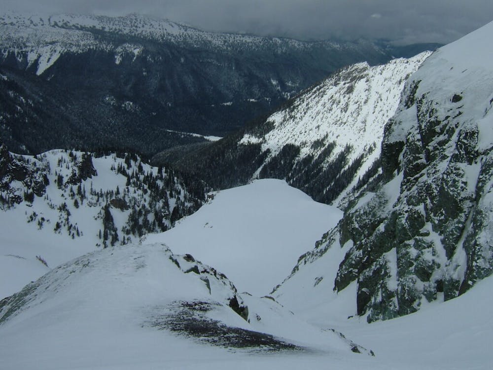
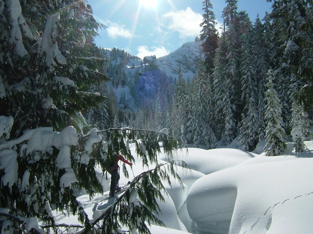
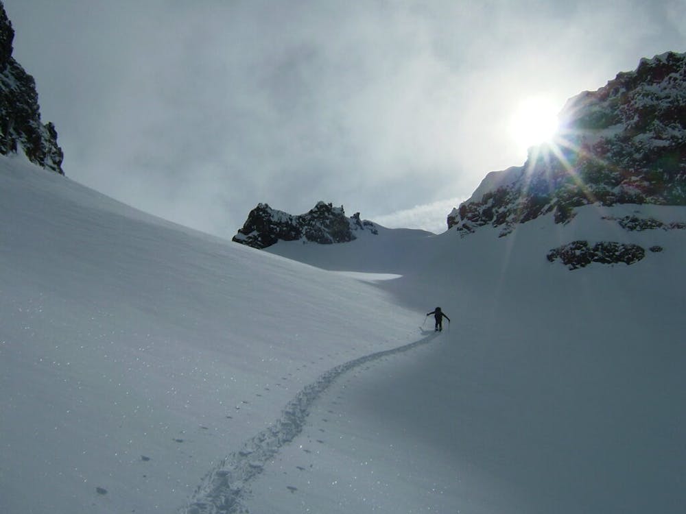
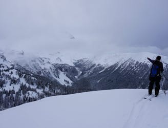
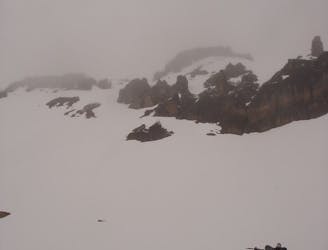
After passing the Tamanos avalanche swaths a little bit further along the banks there will be a stream heading down to Fryingpan Creek, this is Wright Creek. Staying on the lookers left side we started heading up the Old Growth Forest until finding ourselves in a massive basin. What started as a Northeast climb bends to the Northwest and a straightforward climb for the rest of the route. Keep climbing the flats of the valley and before long you are standing on the Sarvant Glacier. From here just keep gaining elevation until you arrive at a small notch where you can transition.
Standing on top of the Sarvant Glacier col you can just retrace your skin track or we found a nice little chute by heading skiers right. The most important part of this route is to loosely follow the skin track back down as you will have to cross Fryingpan creek once again. Knowing that you have a good route to make it across without wet feet can make the difference between a perfect day or a sufferfest.
To see my trip in the area and more photos check out this link https://www.whereiskylemiller.com/mt-rainier/sarvant-glacier/
Difficult
Serious gradient of 30-38 degrees where a real risk of slipping exists.

Exposure is limited to that of the slope itself. Getting hurt is still likely if the slope is steep and/or the snow is hard.

Little chance of being seen or helped in case of an accident.
31 m away
Riding the Banshee Couloir, Cowlitz Chimney and Tamanos Mountain in a single day
Difficult Ski Touring
35 m away
Making the most out of a long weekend exploring the Ohanapecosh area
Difficult Ski Touring
1.1 km away
Making the most out of the numerous different aspects on Tamanos Mountain
Difficult Ski Touring
2.8 km away
Mid Winter trip up the lower slopes of the Emmons Glacier
Moderate Ski Touring
2.9 km away
Making the most out of a spring weekend
Difficult Ski Touring
2.9 km away
Linking together two great lines during a single ski tour
Difficult Ski Touring
2.9 km away
Heading from the Third Burroughs all the way to 410 through the Sourdough Range
Severe Ski Touring
2.9 km away
A classic ascent and pleasant ski descent!
Severe Ski Touring
3 km away
Making the most out of the alpine terrain within the Sourdough Mountains
Severe Ski Touring
3 km away
Another great south facing line within Glacier Basin
Difficult Ski Touring

9 routes · Ski Touring
6 routes · Ski Touring